Turtle Rock Campground
Campground
Campground · 0.6 mi from the trail
 Photo: Sank63, CC BY 2.0 (via Flickr)
Millberry Creek Trail is a 3.1-mile out-and-back hike in California, starting and ending at about 6,257 feet. The route rises to a high point of 7,170 feet, so the round trip adds up to about 963 feet of climbing and the same amount of descent. The trail is rated easy, and the climb is rolling, with the steepest stretch at about 1.4 miles in, where the grade reaches 25 percent. The nearest town is Shay Creek Summer Home Area, about 2.3 miles away. Summer is the most comfortable time to go. Typical averages from the Dagget Pass weather station, about 18 miles away and at a similar elevation, show July highs near 75°F with lows around 49°F and only a couple of wet days. The trip takes about 1.5 hours. Summit Lake Trail and Curtz Lake Interpretive Trail are both within about a mile and a half. Indian Creek Campground and Markleeville Campground, each about 2.3 to 2.8 miles away, offer places to stay overnight.
Turtle Rock Campground
Campground
Tres Amiga Locas
Bar
Alpine County Museum
Museum
Places © OpenStreetMap contributors, Places © Overture Maps Foundation
More in Bear ValleyNot on Roamze yet. Their page has how to reach them.
Summit Lake TrailHikingPhoto: Sank63, CC BY 2.0 (via Flickr)1.3 mi West Fork Carson RiverCanoeingPhoto: Skooiman at English Wikipedia, Public domain (via Wikimedia Commons)6.3 mi
Source: Roamze catalog (indexable pages within 10 miles, PostGIS distance)
Summit Lake TrailHiking · ~2 min drivePhoto: Sank63, CC BY 2.0 (via Flickr) Hot Springs TrailHiking · ~4 min drivePhoto: Ken Lund, CC BY-SA 2.0 (via Flickr)
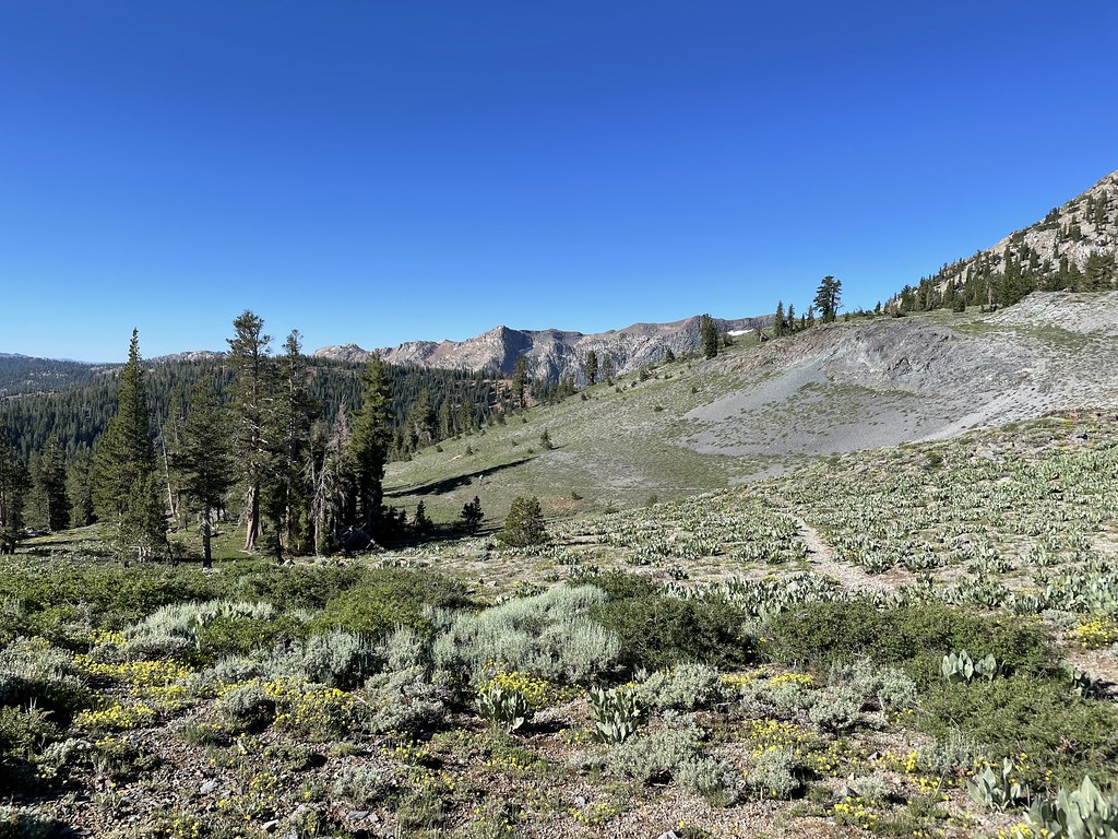 Summit CityHiking · ~16 min drivePhoto: jfdervin, CC BY-SA 2.0 (via Flickr)
 Sawmill Creek TrailHiking · ~4 min drivePhoto: Ken Lund, CC BY-SA 2.0 (via Flickr)Hot Springs Cutoff TrailHiking · ~4 min drivePhoto: Ken Lund, CC BY-SA 2.0 (via Flickr)
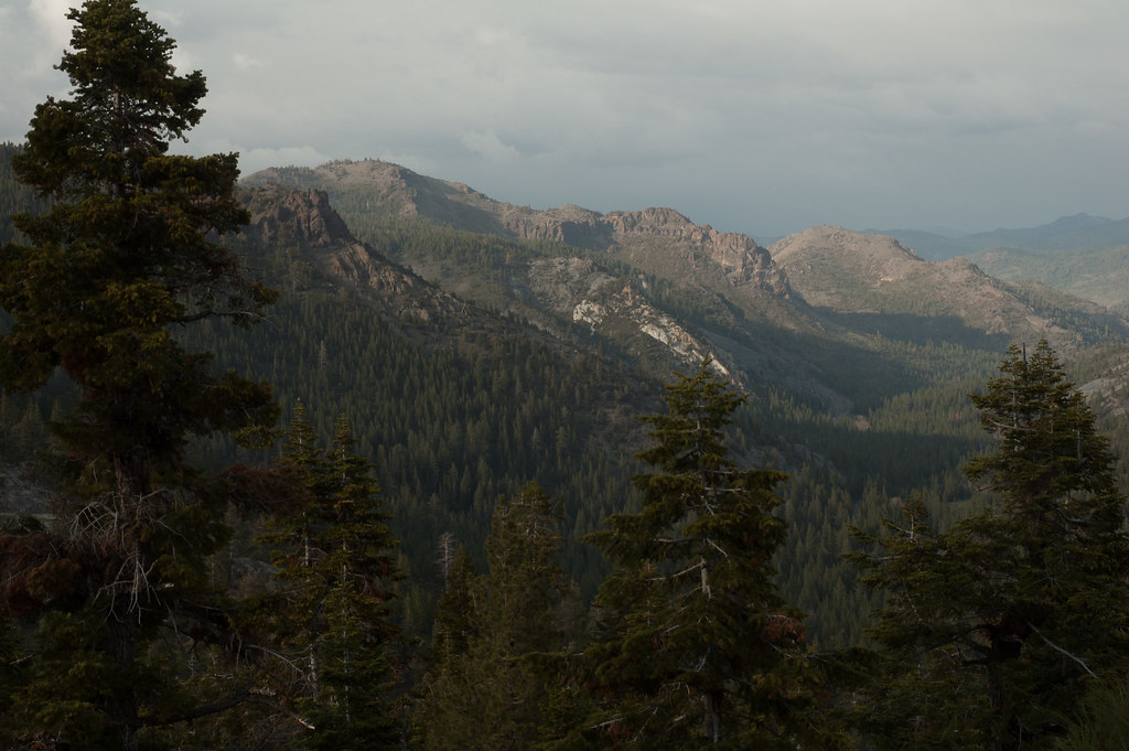 Noble CanyonHiking · ~17 min drivePhoto: Chris Mayer, CC BY 2.0 (via Flickr)
 4-Second Climbing TrailHiking · ~6 min drivePhoto: simonov, CC BY-SA 2.0 (via Flickr)
 Waterfall TrailHiking · ~4 min drivePhoto: Ken Lund, CC BY-SA 2.0 (via Flickr)
 Charity ValleyHiking · ~3 min drivePhoto: Orin Zebest, CC BY 2.0 (via Flickr)
Also worth it near here
 MuralsRock climbing · ~8 min drivePhoto: Ken Lund, CC BY-SA 2.0 (via Flickr)West Fork Carson RiverCanoeing · ~11 min drivePhoto: Skooiman at English Wikipedia, Public domain (via Wikimedia Commons)
Best months: May–October. Best months have typical highs of 55–85 °F, lows of 30 °F or warmer (32 °F where the station doesn't record snow), at most one snowy day and no more than 12 wet days.
Jan
36° / 23°
9 wet
Feb
37° / 23°
8 wet
Mar
42° / 26°
7 wet
Apr
48° / 29°
5 wet
May
56° / 35°
4 wet
Jun
66° / 42°
2 wet
Jul
75° / 49°
2 wet
Aug
74° / 49°
1 wet
Sep
67° / 44°
2 wet
Oct
55° / 36°
3 wet
Nov
43° / 28°
5 wet
Dec
35° / 23°
7 wet
Typical high / low (°F) and days with rain or snow, 1991–2020. Measured at Dagget Pass, NV, 18 mi away at 7,334 ft. This station doesn't record snowfall. Source: NOAA NCEI U.S. Climate Normals 1991–2020.
Map and trail data © OpenStreetMap contributors
