Mike's Trail
- 0.6 mi
- round trip
- 290 ft
- climb
- 1,811 ft
- high point
- Out and back
- route
- Apr–Nov
- best months
Mike's Trail is a short, easy out-and-back hike in California, about 0.6 miles long and starting near Brooktrails, which lies less than a mile away. The trail climbs to a high point of 1,811 feet from a starting elevation of 1,787 feet, so the total gain is about 290 feet for the round trip. The route is back-loaded, with the steepest stretch coming early, around 0.2 miles in, where the grade reaches about 10%. The climb is gentle overall, and the hike takes about half an hour to complete. Summer is the most comfortable time to go. A nearby weather station at Willits, about 2.8 miles away, records typical July and August highs around 83°F with no wet days, while winter brings highs in the mid-50s and frequent rain. Several other trails start close by. Le Brun Trail is about 0.2 miles away, Moss Rock Trail is about 0.4 miles away, and Inlet Trail is about 0.8 miles away. For time on the water, Baechtel Creek, a canoeing spot, is about 3.3 miles away.
- Le Brun TrailHiking0.2 mi
- Moss Rock TrailHiking0.4 mi
- Rockefeller TrailHiking0.5 mi
- Inlet TrailHiking0.8 mi
- Baechtel CreekCanoeing3.3 mi
 Outlet CreekCanoeingPhoto: Thewellman, CC0 (via Wikimedia Commons)4.5 mi
- Davis CreekCanoeing5.5 mi
- Tomki CreekCanoeing7.8 mi
Source: Roamze catalog (indexable pages within 10 miles, PostGIS distance)
 Rockefeller TrailHiking · Next doorPhoto: rivenexus, CC BY 2.0 (via Flickr)
- Gooseberry TrailHiking · ~3 min drivePhoto: rivenexus, CC BY 2.0 (via Flickr)
- Thompsom Gulch TrailHiking · ~30 min drive
- Robie TrailHiking · ~2 min drivePhoto: rivenexus, CC BY 2.0 (via Flickr)
- Rockefeller TrailHiking · Next door
- Dutch Henry TrailHiking · ~2 min drivePhoto: rivenexus, CC BY 2.0 (via Flickr)
- Brandon Gulch TrailHiking · ~25 min drive
- Last Chance TrailHiking · ~3 min drivePhoto: rivenexus, CC BY 2.0 (via Flickr)
- Sheep TrailHiking · ~28 min drive
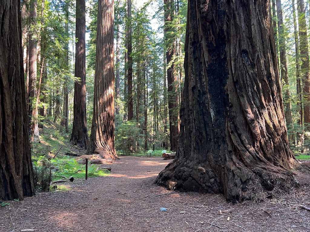 Montgomery TrailHiking · ~24 min drivePhoto: daveynin, CC BY 2.0 (via Flickr)
Best time to visit Mike's Trail
Best months: April–November. Best months have typical highs of 55–85 °F, lows of 30 °F or warmer (32 °F where the station doesn't record snow), at most one snowy day and no more than 12 wet days.
Jan
54° / 33°
15 wet
Feb
56° / 34°
13 wet
Mar
59° / 36°
14 wet
Apr
62° / 37°
11 wet
May
69° / 40°
6 wet
Jun
76° / 44°
2 wet
Jul
83° / 48°
0 wet
Aug
83° / 46°
0 wet
Sep
82° / 42°
2 wet
Oct
72° / 37°
6 wet
Nov
60° / 35°
12 wet
Dec
53° / 32°
14 wet
Typical high / low (°F) and days with rain or snow, 1991–2020. Measured at Willits 1 Ne, CA, 2.8 mi away at 1,353 ft. This station doesn't record snowfall. Source: NOAA NCEI U.S. Climate Normals 1991–2020.

Map and trail data © OpenStreetMap contributors
