Middle Steer Ridge Trail
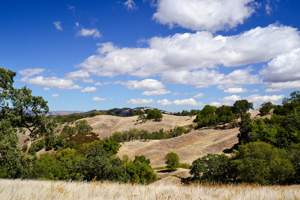 Photo: ilya_ktsn, CC BY 2.0 (via Flickr)
- 2.2 mi
- round trip
- 1,884 ft
- climb
- 2,560 ft
- high point
- Out and back
- route
Middle Steer Ridge Trail is a 4.3-mile out-and-back hike in Henry W. Coe State Park in California, managed by State Park and Recreation. The trail starts at 2,560 feet and climbs to a high point of 2,560 feet, which makes the route a back-loaded climb with the steepest stretch at about 1.2 miles in. The total elevation gain is 1,884 feet, and the trail is rated moderate. The trip takes about 2.5 hours. The steepest grade reaches 31 percent, so plan for a steady climb. The trail is a short loop in the park's network of interconnected routes, and several other hikes sit within a mile of the start. Willson Peak Trail is 0.2 miles away and Willson Pond Trail is 0.3 miles away. Bowl Trail is 0.5 miles off, and Tule Pond Trail is 0.9 miles away.
 Willson Peak TrailHikingPhoto: ilya_ktsn, CC BY 2.0 (via Flickr)0.2 mi
 Willson Pond TrailHikingPhoto: ilya_ktsn, CC BY 2.0 (via Flickr)0.3 mi
 Bowl TrailHikingPhoto: ilya_ktsn, CC BY 2.0 (via Flickr)0.5 mi
 Tule Pond TrailHikingPhoto: ilya_ktsn, CC BY 2.0 (via Flickr)0.9 mi
- Serpentine TrailHikingPhoto: ilya_ktsn, CC BY 2.0 (via Flickr)0.9 mi
- Deer Logic TrailHikingPhoto: ilya_ktsn, CC BY 2.0 (via Flickr)0.9 mi
 Spike Jones TrailHikingPhoto: ilya_ktsn, CC BY 2.0 (via Flickr)0.9 mi
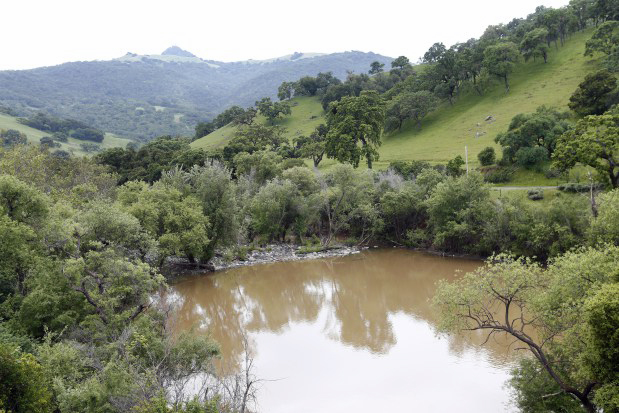 Pacheco CreekCanoeingPhoto: Gary Reyes, CC BY-SA 4.0 (via Wikimedia Commons)8.2 mi
Source: Roamze catalog (indexable pages within 10 miles, PostGIS distance)
- Willson Peak TrailHiking · Next doorPhoto: ilya_ktsn, CC BY 2.0 (via Flickr)
- Willson Pond TrailHiking · Next doorPhoto: ilya_ktsn, CC BY 2.0 (via Flickr)
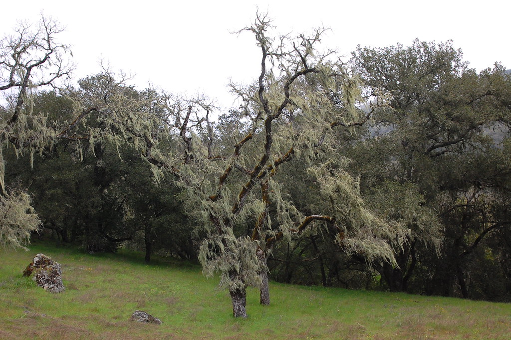 Grizzly Gulch TrailHiking · ~3 min drivePhoto: ilya_ktsn, CC BY 2.0 (via Flickr)
- Bowl TrailHiking · Next doorPhoto: ilya_ktsn, CC BY 2.0 (via Flickr)
- Tule Pond TrailHiking · ~1 min drivePhoto: ilya_ktsn, CC BY 2.0 (via Flickr)
- Serpentine TrailHiking · ~1 min drivePhoto: ilya_ktsn, CC BY 2.0 (via Flickr)
- Deer Logic TrailHiking · ~2 min drivePhoto: ilya_ktsn, CC BY 2.0 (via Flickr)
- Spike Jones TrailHiking · ~2 min drivePhoto: ilya_ktsn, CC BY 2.0 (via Flickr)
- Steer Jones TrailHiking · ~2 min drivePhoto: ilya_ktsn, CC BY 2.0 (via Flickr)
- Lyman Willson Ridge TrailHiking · ~2 min drivePhoto: ilya_ktsn, CC BY 2.0 (via Flickr)
Map and trail data © OpenStreetMap contributors
