Roar & Snore
Campground
Campground · 5.0 mi from the trail
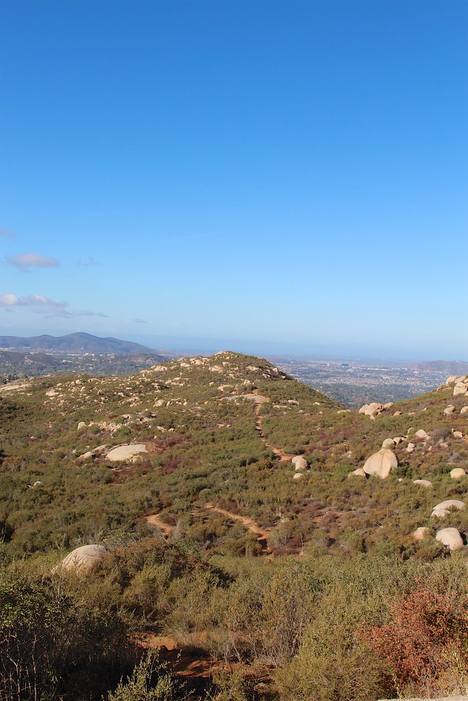
Meadow Loop is an easy, short walk in California's Ramona Grasslands Preserve, on county land about 2 miles from the town of Ramona. The route is an out-and-back that covers about 1.6 miles round trip, with a gentle climb of about 137 feet from the low point at 1,376 feet to the high point at 1,433 feet. The steepest stretch comes at the start, with a grade of about 4 percent, but it stays mild throughout. Spring and fall are the most comfortable times to go. Typical averages from a nearby weather station in Ramona show April highs around 72°F and October highs around 80°F, while July and August average in the high 80s to low 90s. The walk takes about half an hour, so it works well as a quick stop. Within a couple of miles you'll find the Fry/Koegel Trail and the Summit Area and North Slope climbing areas. The Warren Canyon Trail is a little farther out.
Roar & Snore
Campground
 If it rainsAlan Islas, CC BY-SA 4.0 · Wikimedia Commons
Living-history museum in Vista, California
Places © OpenStreetMap contributors, Places © Overture Maps Foundation · Photos: Alan Islas, CC BY-SA 4.0 (commons)
More in JulianNot on Roamze yet. Their page has how to reach them.
 Warren Canyon TrailHikingPhoto: chrisinphilly5448, CC BY-SA 2.0 (via Flickr)2.7 mi
Source: Roamze catalog (indexable pages within 10 miles, PostGIS distance)
 Learning Cave TrailHiking · ~4 min drivePhoto: daveynin, CC BY 2.0 (via Flickr)Warren Canyon TrailHiking · ~5 min drivePhoto: chrisinphilly5448, CC BY-SA 2.0 (via Flickr)
 North Clevenger Canyon TrailHiking · ~7 min drivePhoto: IrishFireside, CC BY 2.0 (via Flickr)
 Sumac TrailHiking · ~7 min drivePhoto: Antonio Zugaldia from Washington, D.C., United States, CC BY 2.0 (via Wikimedia Commons)
 Old Fry/Koegel TrailHiking · ~5 min drivePhoto: daveynin, CC BY 2.0 (via Flickr)
 Nature TrailHiking · ~7 min drivePhoto: www.wbayer.com - www.facebook.com/wbayercom, Public Domain Dedication (CC0) (via Flickr)
 Mount Woodson TrailHiking · ~6 min drivePhoto: daveynin, CC BY 2.0 (via Flickr)
 Creekside TrailHiking · ~7 min drivePhoto: Officer Phil, CC BY 2.0 (via Flickr)South Clevenger Canyon TrailHiking · ~6 min drivePhoto: IrishFireside, CC BY 2.0 (via Flickr)
 Espola TrailHiking · ~9 min drivePhoto: PhelanRiessen, CC BY-SA 2.0 (via Flickr)
Best months: October–June. Best months have typical highs of 55–85 °F, lows of 30 °F or warmer (32 °F where the station doesn't record snow), at most one snowy day and no more than 12 wet days.
Jan
66° / 37°
7 wet
Feb
66° / 38°
8 wet
Mar
68° / 40°
8 wet
Apr
72° / 43°
6 wet
May
76° / 49°
4 wet
Jun
83° / 52°
1 wet
Jul
89° / 58°
1 wet
Aug
91° / 59°
1 wet
Sep
87° / 55°
2 wet
Oct
80° / 48°
4 wet
Nov
73° / 40°
5 wet
Dec
66° / 36°
7 wet
Typical high / low (°F) and days with rain or snow, 1991–2020. Measured at Ramona Ap, CA, 2 mi away at 1,393 ft. This station doesn't record snowfall. Source: NOAA NCEI U.S. Climate Normals 1991–2020.
Map and trail data © OpenStreetMap contributors


