Pine Creek Camp
Campground
Campground · 5.0 mi from the trail
Manzanita Trail is a moderate out-and-back hike in Garland Ranch Regional Park, a regional agency land unit in California. The trail is about 2 miles long, with a total elevation gain of 1,865 feet, and it reaches a high point of 1,506 feet. The route starts at 861 feet, and the steepest stretch comes at about 0.64 miles in, where the grade reaches 22 percent. Late spring and early fall are the most comfortable times to go. Typical averages from a nearby weather station in Carmel Valley show May highs around 71°F and October highs around 78°F, with only a few wet days in each month. That station sits well below the trail, so temperatures on the higher ground run cooler. The hike takes about 1.5 hours. The Carmel River, a canoeing spot, is about 0.4 miles away, and the Osborn Ridge Trail is about 0.6 miles off. The Vasquez Trail and Sleepy Hollow Trail are both within about a mile.
Pine Creek Camp
Campground
 If it rainsLordHarris at English Wikipedia, CC BY-SA 3.0 · Wikimedia Commons
Places © OpenStreetMap contributors, Places © Overture Maps Foundation · Photos: LordHarris at English Wikipedia, CC BY-SA 3.0 (commons)
More in Gonzales Carmel RiverCanoeingPhoto: David.c.stone, CC BY 3.0 (via Wikimedia Commons)0.4 mi
Source: Roamze catalog (indexable pages within 10 miles, PostGIS distance)
 Saddle TrailHiking · ~3 min drivePhoto: DeeAshley, CC BY 2.0 (via Flickr)
 East Ridge TrailHiking · ~4 min drivePhoto: ilya_ktsn, CC BY 2.0 (via Flickr)
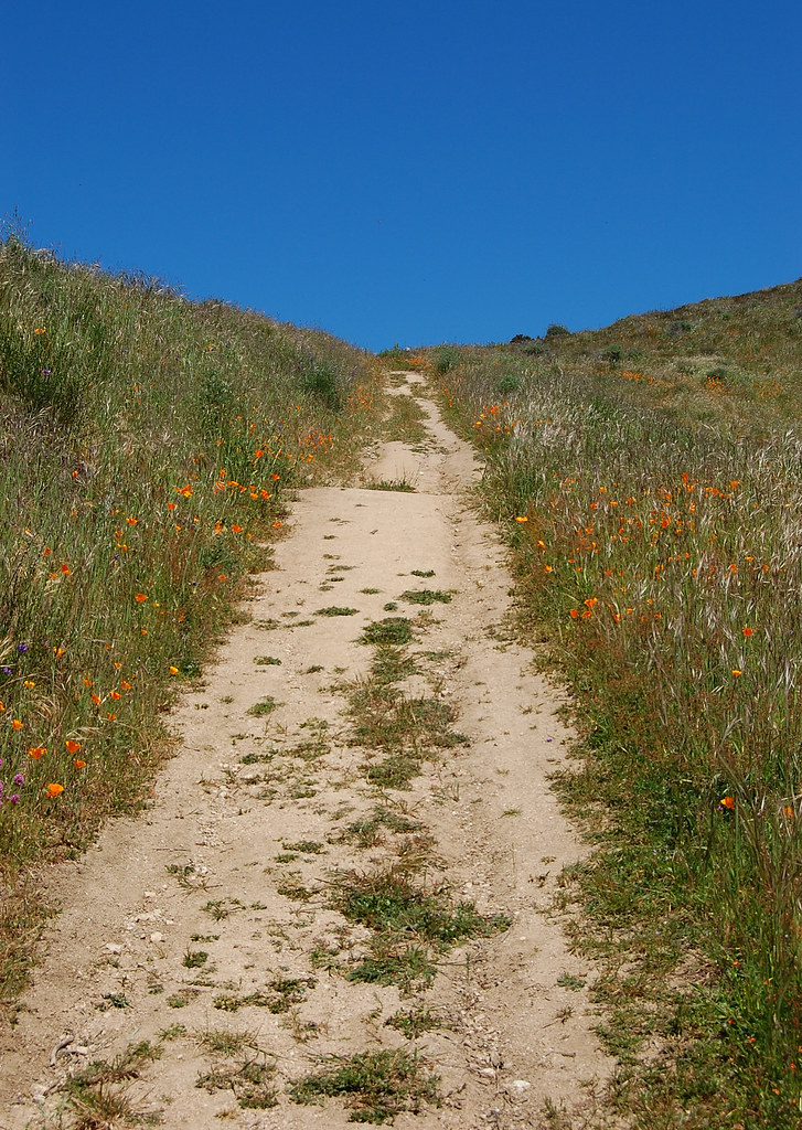 Oakview Loop TrailHiking · ~5 min drivePhoto: ilya_ktsn, CC BY 2.0 (via Flickr)Snively's Ridge TrailHiking · ~5 min drivePhoto: ilya_ktsn, CC BY 2.0 (via Flickr)Redwood Canyon TrailHiking · ~4 min drivePhoto: ilya_ktsn, CC BY 2.0 (via Flickr)Oakview TrailHiking · ~5 min drivePhoto: ilya_ktsn, CC BY 2.0 (via Flickr)
 Ventana Double ConeHiking · ~10 min drivePhoto: ilya_ktsn, CC BY 2.0 (via Flickr)
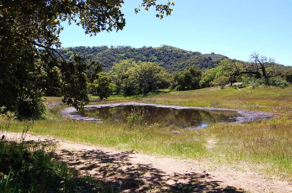 Terrace TrailHiking · ~4 min drivePhoto: ilya_ktsn, CC BY 2.0 (via Flickr)
 Maple Canyon TrailHiking · ~6 min drivePhoto: btwashburn, CC BY 2.0 (via Flickr)
Best months: Year-round. Best months have typical highs of 55–85 °F, lows of 30 °F or warmer (32 °F where the station doesn't record snow), at most one snowy day and no more than 12 wet days.
Jan
63° / 40°
11 wet
Feb
64° / 41°
10 wet
Mar
67° / 41°
10 wet
Apr
69° / 43°
7 wet
May
71° / 46°
4 wet
Jun
76° / 48°
1 wet
Jul
78° / 51°
0 wet
Aug
80° / 51°
0 wet
Sep
81° / 51°
1 wet
Oct
78° / 48°
3 wet
Nov
69° / 42°
7 wet
Dec
63° / 40°
11 wet
Typical high / low (°F) and days with rain or snow, 1991–2020. Measured at Carmel Valley, CA, 2.3 mi away at 480 ft. The station sits about 1,000 ft lower than this place, so expect it a little cooler here. This station doesn't record snowfall. Source: NOAA NCEI U.S. Climate Normals 1991–2020.
Map and trail data © OpenStreetMap contributors
