Make A Wish Trail
- 0.5 mi
- round trip
- 452 ft
- climb
- 940 ft
- high point
- Out and back
- route
Make A Wish Trail is a short, easy out-and-back hike in California, about 1.7 miles from the community of Lake San Marcos. The trail is roughly 0.96 miles long, with a total elevation gain of 452 feet, and it reaches a high point of about 940 feet. The climb is rolling, and the steepest stretch comes early, around 0.17 miles from the start, where the grade reaches about 25 percent. Spring and fall are the most comfortable times to go. Typical averages from a nearby weather station in Escondido show May highs around 77°F and October highs around 81°F, while July and August average in the upper 80s. That station sits about 340 feet lower than the trail's high point, so temperatures on the trail run a little cooler. The hike takes about half an hour, and the trail is close to several other short routes. Gnatcatcher Trail is about 1.1 miles away, Horned Lizard Trail about 1.4 miles, and Mule Deer Trail about 1.6 miles. For a longer outing, the Cerro De Las Posas Ridgeline Trail lies about 2 miles off.
Local outfitters
- Hike Bike Kayak Adventure Tours17 mi away
- Borrego Outfitters49 mi away
Not on Roamze yet. Their page has how to reach them.
- Gnatcatcher TrailHiking1.1 mi
- Horned Lizard TrailHiking1.4 mi
- Mule Deer TrailHiking1.6 mi
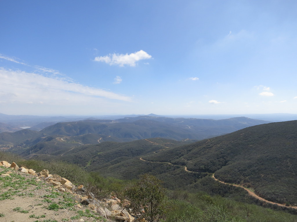 Cerro De Las Posas Ridgeline TrailHikingPhoto: Oleg., CC BY 2.0 (via Flickr)2 mi
- Planet Space BallRock climbing6.2 mi
- San Dieguito RiverCanoeing6.3 mi
 Wall of sageRock climbingPhoto: ZachR10, CC BY-SA 4.0 (via Wikimedia Commons)6.5 mi
 Calavera LakeRock climbingPhoto: alicezeppelin, CC BY-SA 3.0 (via Wikimedia Commons)6.6 mi
Source: Roamze catalog (indexable pages within 10 miles, PostGIS distance)
- Cerro De Las Posas Ridgeline TrailHiking · ~3 min drivePhoto: Oleg., CC BY 2.0 (via Flickr)
 Questhaven Nature TrailHiking · ~4 min drivePhoto: Jason Rosenberg, CC BY 2.0 (via Flickr)
- Horned Lizard TrailHiking · ~3 min drive
 El Fuerte Bressi Ranch TrailHiking · ~5 min drivePhoto: Ken Lund, CC BY-SA 2.0 (via Flickr)
- Way Up TrailHiking · ~6 min drive
 Water Tank TrailHiking · ~8 min drivePhoto: Tim Buss from North County, San Diego, California, USA, CC BY 2.0 (via Wikimedia Commons)
- Lake Hodges Overlook TrailHiking · ~7 min drive
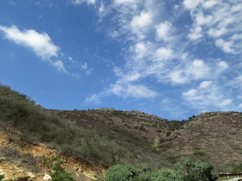 Del Dios Gorge TrailHiking · ~9 min drivePhoto: Oleg., CC BY 2.0 (via Flickr)
- Santa Fe Valley TrailHiking · ~9 min drivePhoto: Oleg., CC BY 2.0 (via Flickr)
- Del Dios Gorge TrailHiking · ~9 min drivePhoto: Oleg., CC BY 2.0 (via Flickr)
Map and trail data © OpenStreetMap contributors
