Main Trail
- 4.6 mi
- round trip
- 438 ft
- climb
- 439 ft
- high point
- Out and back
- route
- Feb–May, Oct–Dec
- best months
Clear at last check
Weather is good · OpenWeather · checked 15 h ago
Main Trail is a 9.2-mile out-and-back hike in California's Madera Mariposa Merced Unit, with a moderate rating and a total elevation gain of 438 feet. The route starts at about 376 feet and reaches a high point of 439 feet, with the steepest stretch at about 2.2 miles in, where the grade reaches 16 percent. Spring and fall are the most comfortable times to go. Typical averages from a nearby weather station in Merced show April highs around 73°F and October highs around 79°F, while July and August average in the mid-90s. The hike takes about 3.5 hours. The Black Rascal North Trail and Vista Peak Trail both lie about half a mile away, and the Black Rascal South Trail is about 1.5 miles off. Bear Creek, a canoeing spot, is about 3.1 miles away.
- Black Rascal North TrailHiking0.5 mi
- Vista Peak TrailHiking0.5 mi
- Black Rascal South TrailHiking1.5 mi
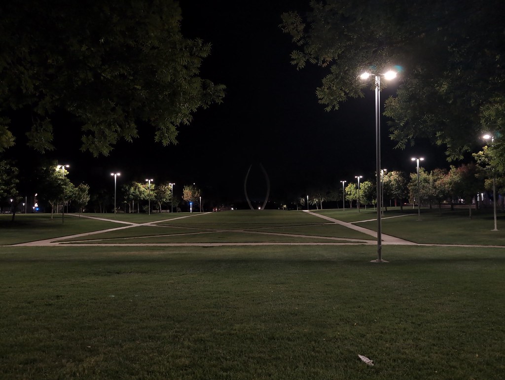 Conservancy TrailHikingPhoto: ucanthavemyname, Public Domain Mark (via Flickr)1.8 mi
- Marshland TrailHiking1.9 mi
- La Playa TrailHikingPhoto: ucanthavemyname, Public Domain Mark (via Flickr)1.9 mi
- Perimeter South TrailHiking2.3 mi
- Bear CreekCanoeing3.1 mi
Source: Roamze catalog (indexable pages within 10 miles, PostGIS distance)
- Conservancy TrailHiking · ~3 min drivePhoto: ucanthavemyname, Public Domain Mark (via Flickr)
 Soaproot Ridge TrailHiking · ~52 min drivePhoto: Adam Schultz, CC BY 3.0 (via Wikimedia Commons)
 Hite CoveHiking · ~56 min drivePhoto: Ken Lund, CC BY-SA 2.0 (via Flickr)
- La Playa TrailHiking · ~3 min drivePhoto: ucanthavemyname, Public Domain Mark (via Flickr)
 Golden Forest Interp. TrailHiking · ~57 min drivePhoto: stevelyon, CC BY-SA 2.0 (via Flickr)
- Six Bit TrailHiking · ~51 min drive
- Old Stage TrailHiking · ~52 min drivePhoto: Adam Schultz, CC BY 3.0 (via Wikimedia Commons)
 Jenkins HillHiking · ~53 min drivePhoto: stevelyon, CC BY-SA 2.0 (via Flickr)
- N. Fork Merced River (Lower)Hiking · ~53 min drive
- Overlook Loop TrailHiking · ~53 min drivePhoto: Adam Schultz, CC BY 3.0 (via Wikimedia Commons)
Best time to visit Main Trail
Best months: February–May and October–December. Best months have typical highs of 55–85 °F, lows of 30 °F or warmer (32 °F where the station doesn't record snow), at most one snowy day and no more than 12 wet days.
Jan
54° / 37°
10 wet
Feb
61° / 39°
9 wet
Mar
66° / 42°
8 wet
Apr
73° / 46°
4 wet
May
82° / 52°
2 wet
Jun
89° / 57°
1 wet
Jul
95° / 62°
0 wet
Aug
94° / 60°
0 wet
Sep
89° / 56°
1 wet
Oct
79° / 49°
2 wet
Nov
64° / 41°
5 wet
Dec
55° / 36°
9 wet
Typical high / low (°F) and days with rain or snow, 1991–2020. Measured at Merced, CA, 10.2 mi away at 154 ft. Source: NOAA NCEI U.S. Climate Normals 1991–2020.

Map and trail data © OpenStreetMap contributors
