Mad Ridge Trail
- 1.1 mi
- round trip
- 892 ft
- climb
- 3,998 ft
- high point
- Out and back
- route
Is MAD RIDGE TRAIL open right now?
No closures listed
The Forest Service lists no closures for Six Rivers National Forest.
As of · Source: USFS · Six Rivers National Forest. Agencies don't list every closure — check before you go.
Mad Ridge Trail is a moderate, out-and-back hike in the Mad River Ranger District of Six Rivers National Forest in California, about a mile from the trailhead. The route covers roughly 2 miles, and the total elevation gain is about 900 feet, with the high point at nearly 4,000 feet. The trail is a rolling climb that gets steep near the start, with a 26% grade around the half-mile mark. The total loss on the way back matches the gain. Plan about an hour for the round trip. The closest neighbor is Devils Backbone, about a mile away. Lakeside and the Mad River, a paddling route, are both about 2.4 miles off. For an overnight stay, Fir Cove Campground sits at a similar distance.
- Devils BackboneHiking1 mi
- LakesideHiking2.4 mi
 Mad RiverCanoeingPhoto: humboldthead, CC BY 2.0 (via Wikimedia Commons)2.4 mi
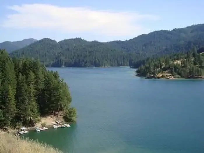 Fir Cove CampgroundCampingPhoto: Recreation.gov (RIDB) / public domain2.4 mi
- Bailey Canyon CampgroundCamping2.7 mi
- West Fork Van Duzen RiverCanoeing5.1 mi
- The Bowling BallRock climbing6.4 mi
- Visionary ButtressRock climbing6.5 mi
Source: Roamze catalog (indexable pages within 10 miles, PostGIS distance)
 Rough GulchHiking · ~20 min drivePhoto: Jesse Palmer, CC BY-SA 2.0 (via Flickr)
- HORSE MOUNTAIN LOOKOUTHiking · ~20 min drivePhoto: Jesse Palmer, CC BY-SA 2.0 (via Flickr)
 Seven Up TrailHiking · ~22 min drivePhoto: aspidoscelis, Public Domain Dedication (CC0) (via Flickr)
- South Fork National Recreation TrailHiking · ~15 min drive
- Smoky CreekHiking · ~21 min drivePhoto: aspidoscelis, Public Domain Dedication (CC0) (via Flickr)
- Pickett Peak TrailHiking · ~7 min drive
- Devils BackboneHiking · ~2 min drive
- South Fork Trinity River TrailHiking · ~21 min drive
- Marble CavesHiking · ~11 min drive
- GREEN MOUNTAINHiking · ~7 min drive
