Lower Bacon Trail
 Photo: fogcat5, CC BY-SA 2.0 (via Flickr)
- 0.9 mi
- round trip
- 806 ft
- climb
- 2,389 ft
- high point
- Out and back
- route
Lower Bacon Trail is a 1.8-mile out-and-back hike in The Forest of Nisene Marks State Park in California, managed by State Park and Recreation. The trail starts at about 2,219 feet and climbs steadily to a high point of 2,389 feet, with a total elevation gain of 806 feet for the round trip. The steepest stretch comes at about 0.66 miles in, where the grade reaches 28 percent. The trail is rated moderate, and the climb is spread evenly across the route. The trip takes about an hour, so plan on a short outing with a steady pace. Upper Bacon Trail lies about 0.8 miles away, and the Ridge Trail and Corral Trail, both mountain biking routes, are at a similar distance. For paddling, Soquel Creek is about 2.5 miles off.
- Upper Bacon TrailHikingPhoto: fogcat5, CC BY-SA 2.0 (via Flickr)0.8 mi
- Ridge TrailMountain biking0.8 mi
- Corral TrailMountain biking0.8 mi
- Soquel CreekCanoeing2.5 mi
- Lower Guadalupe RockRock climbing8.2 mi
- Order of the Moose WallRock climbing8.7 mi
- Roadside RockRock climbing8.8 mi
- Zayante CreekCanoeing9.3 mi
Source: Roamze catalog (indexable pages within 10 miles, PostGIS distance)
- Upper Bacon TrailHiking · ~1 min drivePhoto: fogcat5, CC BY-SA 2.0 (via Flickr)
 Pig TrailHiking · ~2 min drivePhoto: fogcat5, CC BY-SA 2.0 (via Flickr)
 West Ridge TrailHiking · ~6 min drivePhoto: fogcat5, CC BY-SA 2.0 (via Flickr)
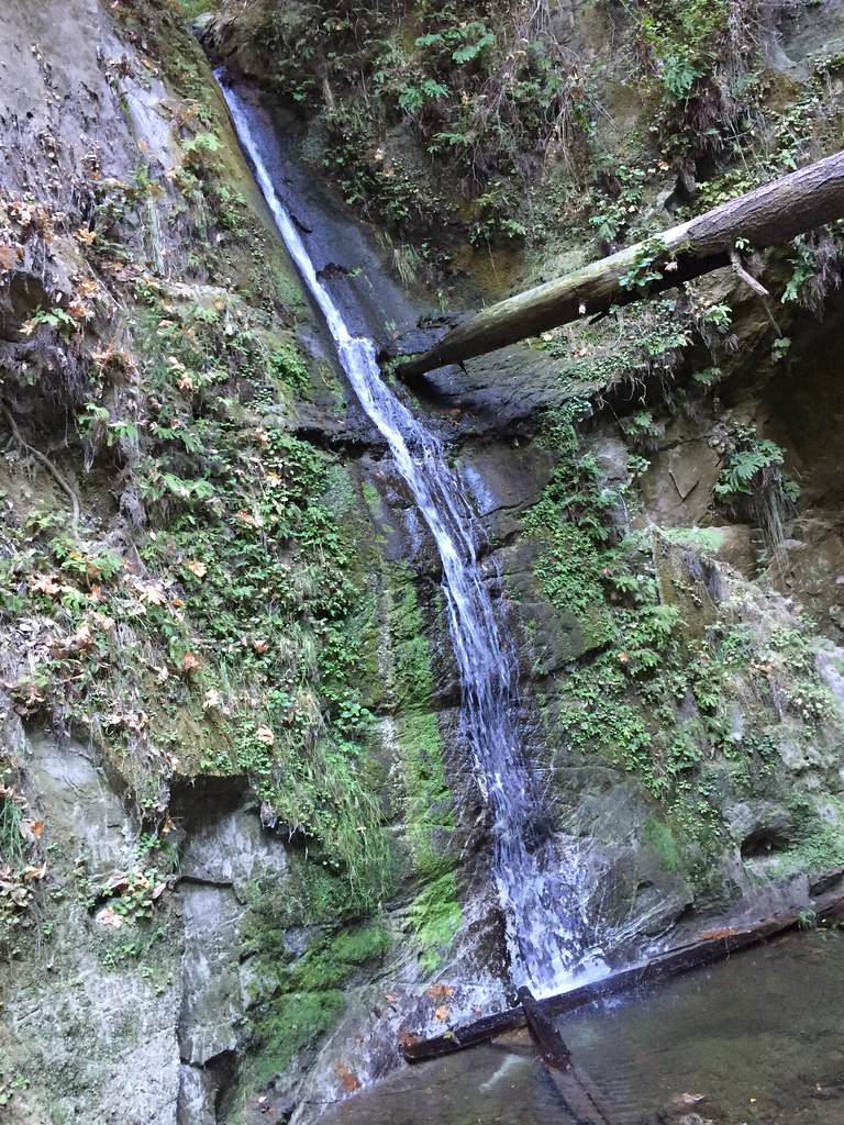 Big Stump Gap TrailHiking · ~4 min drivePhoto: fogcat5, CC BY-SA 2.0 (via Flickr)
 Monte Vista TrailHiking · ~3 min drivePhoto: fogcat5, CC BY-SA 2.0 (via Flickr)
 Knibbs Knob TrailHiking · ~8 min drivePhoto: Sergey Gabdurakhmanov, CC BY 2.0 (via Flickr)
- Ridge Connection TrailHiking · ~5 min drivePhoto: fogcat5, CC BY-SA 2.0 (via Flickr)
- Big Slide TrailHiking · ~3 min drivePhoto: fogcat5, CC BY-SA 2.0 (via Flickr)
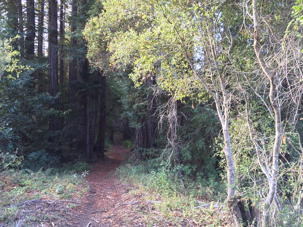 6 mile trail loopHiking · ~8 min drivePhoto: fogcat5, CC BY-SA 2.0 (via Flickr)
 Trout Gulch TrailHiking · ~6 min drivePhoto: fogcat5, CC BY-SA 2.0 (via Flickr)

Map and trail data © OpenStreetMap contributors
