Knibbs Knob Trail
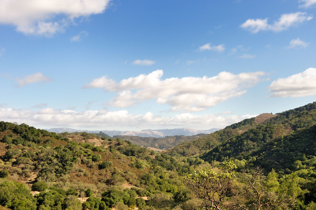
 Photo: Sergey Gabdurakhmanov, CC BY 2.0 (via Flickr)
- 2.0 mi
- round trip
- 2,977 ft
- climb
- 2,900 ft
- high point
- Out and back
- route
- May–Nov
- best months
Clear at last check
Weather is good · OpenWeather · checked 23 h ago
Knibbs Knob Trail is a hard hike in Uvas Canyon County Park, on county land in California. The route is an out-and-back of about 3.9 miles, with a total elevation gain of 2,977 feet. The trail starts at roughly 1,239 feet and climbs to a high point of about 2,900 feet, and the steepest stretch comes early, around 0.9 miles in, with a grade of about 30 percent. The climb is front-loaded, so the hardest part is at the beginning. The trail is rated hard, and the round trip involves about 2,977 feet of climbing and the same amount of descent. Summer is the most comfortable time to go. Typical averages from a nearby weather station at Mt Hamilton show July and August highs around 79°F with almost no wet days, while winter brings highs near 50°F and about 12 wet days a month. That station sits about 1,300 feet higher than the trail, so temperatures on the trail run warmer. The hike takes about 3 hours. The Uvas Creek Trail starts just 0.1 mile away, and the Alec Canyon Trail and Knobcone Trail are within half a mile. Paddlers can find Soquel Creek about 7 miles off.
- Uvas Creek TrailHikingPhoto: Sergey Gabdurakhmanov, CC BY 2.0 (via Flickr)0.1 mi
 Alec Canyon TrailHikingPhoto: MetroWind, CC BY-SA 2.0 (via Flickr)0.3 mi
 Knobcone TrailHikingPhoto: Näystin, CC BY-SA 2.0 (via Flickr)0.5 mi
- Soquel CreekCanoeing6.9 mi
 Uvas CreekCanoeingPhoto: Uvaseastman, CC BY-SA 4.0 (via Wikimedia Commons)8 mi
- Lower Guadalupe RockRock climbing8.1 mi
- Roadside RockRock climbing8.8 mi
- Hicks RoadRock climbing8.8 mi
Source: Roamze catalog (indexable pages within 10 miles, PostGIS distance)
- Uvas Creek TrailHiking · Next doorPhoto: Sergey Gabdurakhmanov, CC BY 2.0 (via Flickr)
- Alec Canyon TrailHiking · Next doorPhoto: MetroWind, CC BY-SA 2.0 (via Flickr)
 Mayfair Ranch TrailHiking · ~7 min drivePhoto: donjd2, CC BY 2.0 (via Flickr)
 Lisa Killough TrailHiking · ~11 min drivePhoto: Olivier Pasco, CC BY 2.0 (via Flickr)
- Knobcone TrailHiking · Next doorPhoto: Näystin, CC BY-SA 2.0 (via Flickr)
- Contour TrailHiking · Next doorPhoto: Näystin, CC BY-SA 2.0 (via Flickr)
- Bald Peaks TrailHiking · ~9 min drivePhoto: donjd2, CC BY 2.0 (via Flickr)
 Upper Bacon TrailHiking · ~7 min drivePhoto: fogcat5, CC BY-SA 2.0 (via Flickr)
 Byrne TrailHiking · ~7 min drivePhoto: fogcat5, CC BY-SA 2.0 (via Flickr)
- Longwall Canyon TrailHiking · ~8 min drive
Best time to visit Knibbs Knob Trail
Best months: May–November. Best months have typical highs of 55–85 °F, lows of 30 °F or warmer (32 °F where the station doesn't record snow), at most one snowy day and no more than 12 wet days.
Jan
50° / 39°
12 wet · 2 snow
Feb
49° / 38°
12 wet · 2 snow
Mar
51° / 39°
11 wet · 3 snow
Apr
55° / 41°
8 wet · 2 snow
May
62° / 47°
5 wet
Jun
71° / 56°
2 wet
Jul
79° / 65°
0 wet
Aug
79° / 65°
1 wet
Sep
74° / 60°
2 wet
Oct
66° / 52°
4 wet
Nov
55° / 43°
9 wet
Dec
49° / 38°
12 wet · 2 snow
Typical high / low (°F) and days with rain or snow, 1991–2020. Measured at Mt Hamilton, CA, 19.7 mi away at 4,206 ft. The station sits about 1,300 ft higher than this place, so expect it a little warmer here. Source: NOAA NCEI U.S. Climate Normals 1991–2020.

Map and trail data © OpenStreetMap contributors
