Half Moon Bay RV Park
Campground
Campground · 6.3 mi from the trail
 Photo: bsterling, CC BY-SA 2.0 (via Flickr)
Alert in the area
The National Park Service lists 2 alerts for Golden Gate National Recreation Area.
Beach Hazards and High Surf November 17-19
Park alert covering Golden Gate National Recreation Area · NPS · Golden Gate National Recreation Area
Auto-Theft Warning - Only Bring What You Need to the Park
Park alert covering Golden Gate National Recreation Area · NPS · Golden Gate National Recreation Area
As of · Source: NPS · Golden Gate National Recreation Area. Agencies don't list every closure — check before you go.
Lonely Trail is a 3.2-mile out-and-back hike in California's Golden Gate National Recreation Area, set at about 2,079 feet. The climb is rolling, with a steepest section of about 20% grade around the half-mile mark, and the trail reaches a high point of about 2,100 feet before returning to the start. The round trip includes a total elevation gain of about 1,465 feet, and the hike typically takes about two hours. Summer is the driest and warmest time to go. Typical averages from a nearby weather station show July and August highs around 81°F with lows near 58°F and only about one wet day a month. Winter is cooler and much wetter, with December highs around 54°F and about 15 wet days. The Skyline Trail and Redwood Trail both lie within a quarter mile of the trail, and the Dean Trail is about 0.8 miles away. Handley Rock Park, a climbing area, is about 3.4 miles off.
Half Moon Bay RV Park
Campground
Historical building, former farm, and museum in Half Moon Bay, California
Places © OpenStreetMap contributors
More in PescaderoSkyline TrailHikingPhoto: bsterling, CC BY-SA 2.0 (via Flickr)0.1 mi Redwood TrailHikingPhoto: dbaron, CC BY-SA 2.0 (via Flickr)0.2 mi
 Unofficial Skyline TrailHikingPhoto: bsterling, CC BY-SA 2.0 (via Flickr)0.5 miDean TrailHikingPhoto: bsterling, CC BY-SA 2.0 (via Flickr)0.8 mi
 Campground TrailHikingPhoto: bsterling, CC BY-SA 2.0 (via Flickr)0.9 miCrystal Springs TrailHikingPhoto: bsterling, CC BY-SA 2.0 (via Flickr)0.9 mi
Source: Roamze catalog (indexable pages within 10 miles, PostGIS distance)
Skyline TrailHiking · Next doorPhoto: bsterling, CC BY-SA 2.0 (via Flickr)Dean TrailHiking · ~1 min drivePhoto: bsterling, CC BY-SA 2.0 (via Flickr)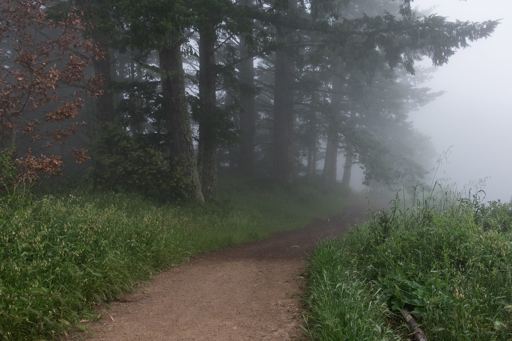 Borden Hatch Mill TrailHiking · ~3 min drivePhoto: Justin Dolske, CC BY-SA 2.0 (via Flickr)Redwood TrailHiking · Next doorPhoto: dbaron, CC BY-SA 2.0 (via Flickr)Crystal Springs TrailHiking · ~2 min drivePhoto: bsterling, CC BY-SA 2.0 (via Flickr)
 Whittemore Gulch TrailHiking · ~4 min drivePhoto: btwashburn, CC BY 2.0 (via Flickr)Unofficial Skyline TrailHiking · Next doorPhoto: bsterling, CC BY-SA 2.0 (via Flickr)Campground TrailHiking · ~2 min drivePhoto: bsterling, CC BY-SA 2.0 (via Flickr)
 Skyline TrailHiking · ~4 min drivePhoto: bsterling, CC BY-SA 2.0 (via Flickr)Chapparal TrailHiking · ~2 min drivePhoto: bsterling, CC BY-SA 2.0 (via Flickr)
Also worth it near here
Best months: April–November. Best months have typical highs of 55–85 °F, lows of 30 °F or warmer (32 °F where the station doesn't record snow), at most one snowy day and no more than 12 wet days.
Jan
55° / 41°
14 wet
Feb
55° / 40°
14 wet
Mar
58° / 41°
13 wet
Apr
62° / 43°
10 wet
May
67° / 47°
7 wet
Jun
75° / 52°
3 wet
Jul
81° / 58°
1 wet
Aug
81° / 59°
1 wet
Sep
79° / 57°
2 wet
Oct
71° / 52°
6 wet
Nov
60° / 44°
11 wet
Dec
54° / 40°
15 wet
Typical high / low (°F) and days with rain or snow, 1991–2020. Measured at Skyline Ridge Preserve, CA, 11.1 mi away at 2,270 ft. This station doesn't record snowfall. Source: NOAA NCEI U.S. Climate Normals 1991–2020.
Map and trail data © OpenStreetMap contributors
