Half Moon Bay RV Park
Campground
Campground · 7.2 mi from the trail
Morena Sierra is a summit of 2,418 feet in the El Corte de Madera Creek Open Space Preserve in California, about 3 miles from the town of Woodside. It sits in a cluster of trails, and several mountain biking and hiking routes start within a short distance. The driest stretch runs from June through September, when typical averages from a nearby weather station show highs around 75 to 81°F, lows near 52 to 59°F, and only one or two wet days a month. Winter is much wetter, with about 14 or 15 wet days a month from December through February. The El Corte de Madera Creek Trail and the Tafoni Trail both lie about 0.1 mile away, with the Sierra Morena Trail about 0.4 mile off. The Skyline Trail, a hiking route, is roughly 0.6 mile away.
Half Moon Bay RV Park
Campground
 If it rainsSPUCLA, CC BY-SA 4.0 · Wikimedia Commons
Places © OpenStreetMap contributors · Photos: SPUCLA, CC BY-SA 4.0 (commons)
More in PescaderoDaily highs and lows, wind and the chance of precipitation at the summit and route start for the next 7 days, from the Open-Meteo model.
Elevation from USGS 3D Elevation Program terrain data (about 10 m resolution).
| Fir Trail | Sierra Morena Trail | El Corte de Madera Creek Trail | Tafoni Trail | |
|---|---|---|---|---|
| Climbing | About 428 ft | About 1,404 ft | About 301 ft | About 772 ft |
| Round trip | 1.5 mi | 2.6 mi | 1.2 mi | 1.9 mi |
| Difficulty | Easy | Moderate | Easy | Moderate |
| Terrain | Hike | Hike | Hike | Hike |
2,418 ft (737 m).
4: Fir Trail, Sierra Morena Trail, El Corte de Madera Creek Trail and Tafoni Trail.
El Corte de Madera Creek Trail, about 1.2 mi round trip.

 Skyline TrailHikingPhoto: bsterling, CC BY-SA 2.0 (via Flickr)0.6 mi
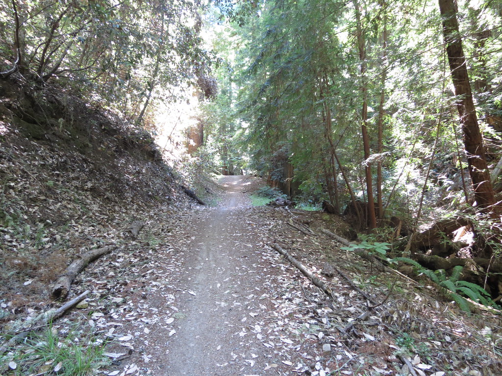 Fir TrailHikingPhoto: Buddha Dog, CC BY-SA 2.0 (via Flickr)0.7 mi
Source: Roamze catalog (indexable pages within 10 miles, PostGIS distance)
 Sugarloaf HillSummit · ~13 min drivePhoto: mliu92 from San Mateo, CC BY-SA 2.0 (via Wikimedia Commons)Borel HillSummit · ~15 min drivePhoto: Seberin, CC BY-SA 4.0 (via Wikimedia Commons)
 Montara MountainSummit · ~18 min drivePhoto: Mike Weston from La Honda, CA, CC BY 2.0 (via Wikimedia Commons)
 Black MountainSummit · ~19 min drivePhoto: Trovatore at English Wikipedia, Public domain (via Wikimedia Commons)
 North PeakSummit · ~24 min drivePhoto: Clyde Charles Brown, CC BY-SA 4.0 (via Wikimedia Commons)
 San Bruno MountainSummit · ~35 min drivePhoto: Derrick Coetzee (User:Dcoetzee), CC0 (via Wikimedia Commons)
 Bay View HillSummit · ~37 min drivePhoto: Doc Searls from Santa Barbara, USA, CC BY-SA 2.0 (via Wikimedia Commons)
 Stony HillSummit · ~39 min drivePhoto: Clyde Charles Brown, CC BY-SA 4.0 (via Wikimedia Commons)
 Bernal HeightsSummit · ~41 min drivePhoto: The original uploader was Octoferret at English Wikipedia., CC BY-SA 2.5 (via Wikimedia Commons)
 Mount DavidsonSummit · ~41 min drivePhoto: Pi.1415926535, CC BY-SA 4.0 (via Wikimedia Commons)
Also worth it near here
Best months: April–November. Best months have typical highs of 55–85 °F, lows of 30 °F or warmer (32 °F where the station doesn't record snow), at most one snowy day and no more than 12 wet days.
Jan
55° / 41°
14 wet
Feb
55° / 40°
14 wet
Mar
58° / 41°
13 wet
Apr
62° / 43°
10 wet
May
67° / 47°
7 wet
Jun
75° / 52°
3 wet
Jul
81° / 58°
1 wet
Aug
81° / 59°
1 wet
Sep
79° / 57°
2 wet
Oct
71° / 52°
6 wet
Nov
60° / 44°
11 wet
Dec
54° / 40°
15 wet
Typical high / low (°F) and days with rain or snow, 1991–2020. Measured at Skyline Ridge Preserve, CA, 9.6 mi away at 2,270 ft. This station doesn't record snowfall. Source: NOAA NCEI U.S. Climate Normals 1991–2020.
