Loading…

Free — you'll pick up right here.
Watch this trail
Sign up to watch it — saving subscribes you to gate, closure and report changes.
California
1.2 mi
Distance
387 ft
Gain
Agency alerts are in effect for this area; weather is good
2 factors · 2 sources
Newest 14 h ago · oldest 9 d
caution: Agency alerts
13 active alerts in Inyo National Forest; most severe: Southern California Edison - Road work in Silver and Wyman Canyon
USFS9 d ago
clear: Weather
Clear, high 47°F / low 39°F, 0% precip — 100/100 for hike
OpenWeather14 h ago
Been out here in the last few days? One report keeps this current for everyone.
Why you'll love it
Lake Canyon
AI-suggested draft · review before you go
No permit or access details on file for this trail — check with the local land manager before you go.
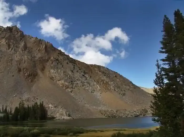
Lake Canyon offers a short but rewarding desert hike featuring scenic canyon views and modest elevation gain. This 1.16-mile trail is perfect for hikers seeking a quick outdoor escape with manageable terrain and beautiful natural surroundings typical of California's canyon landscapes.
Gaylor Lakes Trailhead
~15 min drive
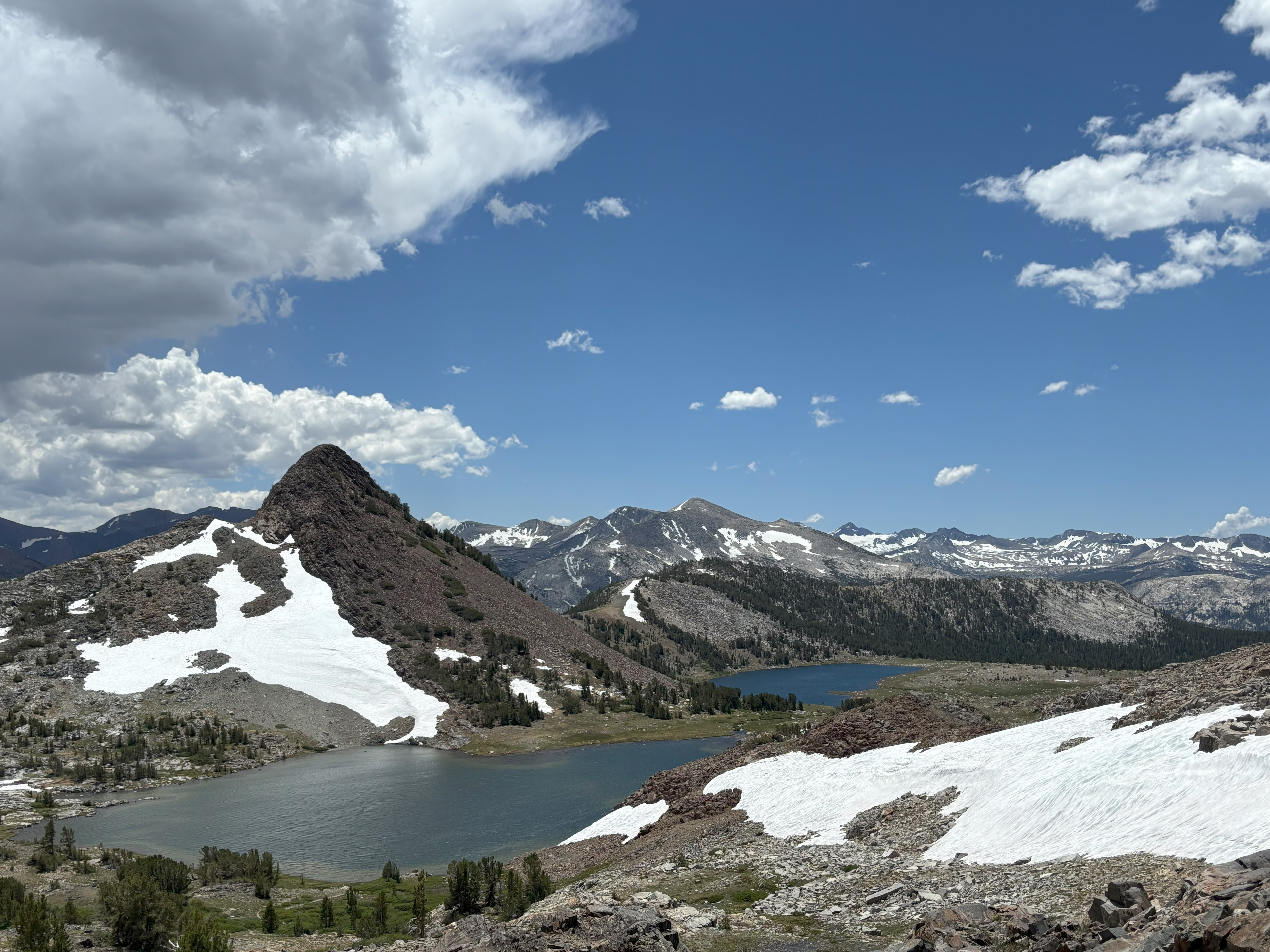
<p>This short but steep hike offers spectacular high-country views, wildflowers in the summer, and lake views. From the trailhead, located right next to Tioga Pass, climb steadily to a ridge with views of the high Sierra including Mt. Dana and Dana Meadows. At the ridge crest,…
Green Creek
~5 min drive
Easy 1-mile walk with minimal elevation gain near Green Creek.
20 Lakes Basin Loop
~8 min drive
An easy 1.25-mile out-and-back trail in California's 20 Lakes Basin, ideal for casual hikers.
Bloody Canyon
~20 min drive
Steep alpine climb with 2,080 ft gain offering dramatic Sierra views.
Mono Pass Trailhead
~17 min drive
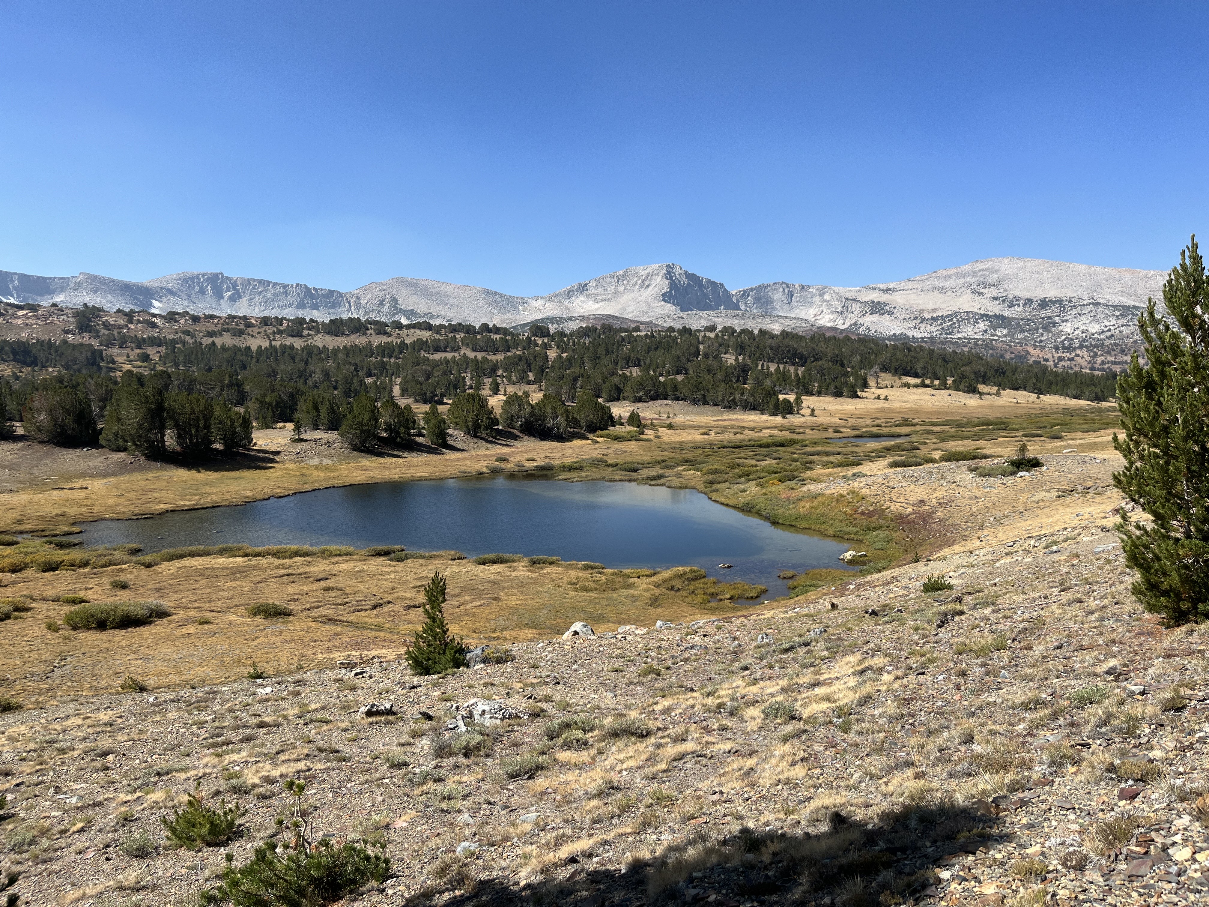
<p>This historic trans-Sierra trail climbs gradually through lodgepole pines and past wet meadows. In mid-summer, look for red mountain heather blooming trailside. After the Spillway Lake junction, the trail climbs steadily and more steeply to Mono Pass (elevation 10,600 feet)…
Shell Lake
~12 min drive
Easy alpine lake hike with minimal elevation gain and scenic water views.
Summit Lake
~8 min drive
Easy 2-mile alpine lake hike with 314 ft elevation gain.
Reversed Peak Loop
~32 min drive
Moderate 4.24-mile loop with 712 ft elevation gain and scenic peak views.
Elizabeth Lake Trailhead
~23 min drive
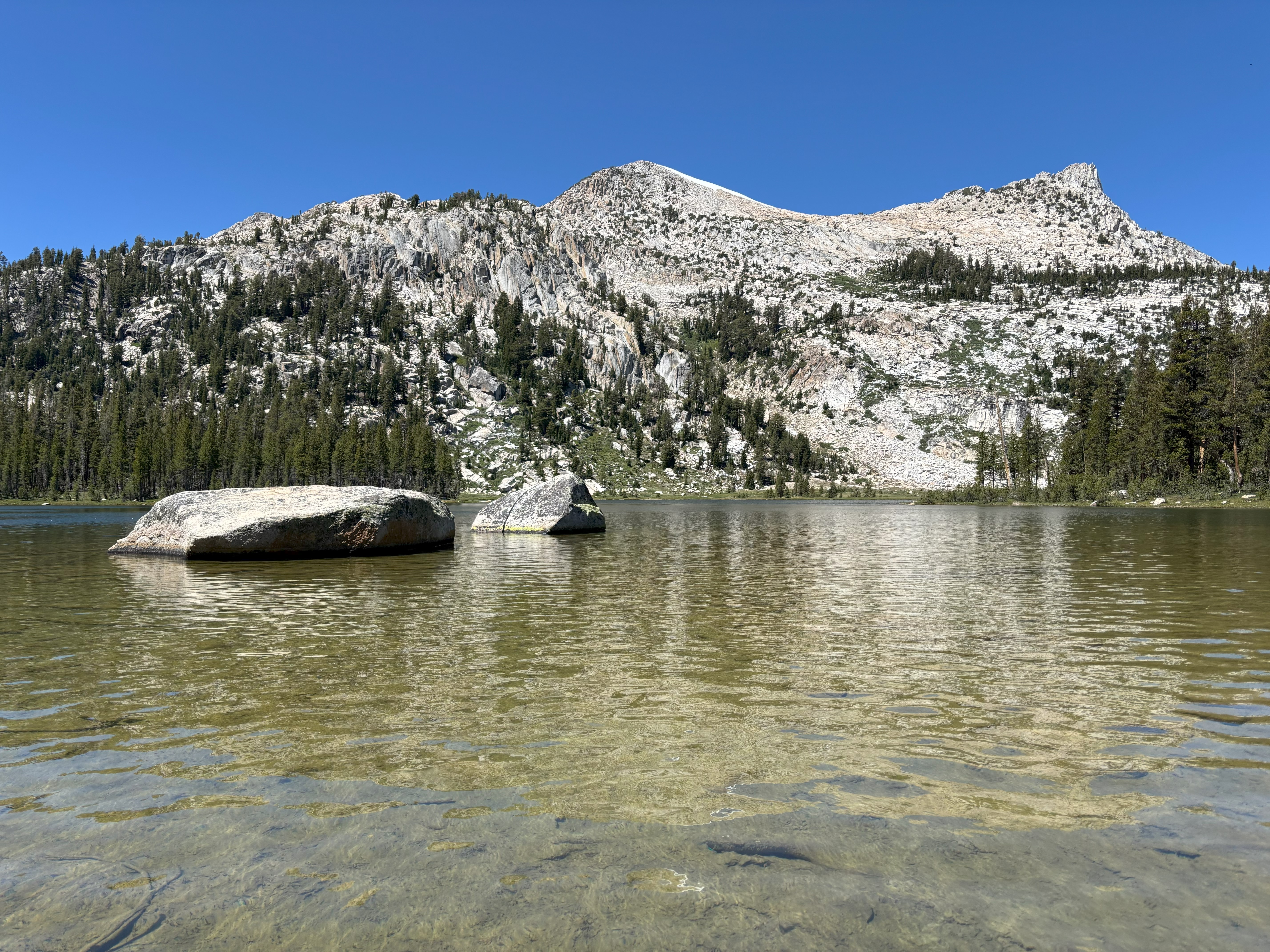
<p>The trail climbs steadily to a glacier-carved lake at the base of Unicorn Peak in the heart of the Cathedral Range. A one-mile trail circles the lake. The trail begins at the back of the B loop in the Tuolumne Meadows Campground.<br /> <br /> <strong>Distance: </strong>4.8…
Cattle Creek Route
~18 min drive
Easy 2-mile creek-side walk with minimal elevation gain.