Trailhead Group Campground
Campground
Campground · 2.5 mi from the trail
 Photo: Jason Hollinger, CC BY 2.0 (via Wikimedia Commons)
Closure in the area
There's a closure order in Yosemite National Park. It doesn't name Mount Conness West Ridge Approach, so check the source for the area it covers (3 listed).
Big Oak Flat Road will close Nov 18 at 8 am
Park closure covering Yosemite National Park · NPS · Yosemite National Park
Campgrounds and Curry Village tent cabins are closed due to a winter storm
Park closure covering Yosemite National Park · NPS · Yosemite National Park
Tioga and Glacier Point Roads are closed due snow
Park closure covering Yosemite National Park · NPS · Yosemite National Park
As of · Source: NPS · Yosemite National Park. Agencies don't list every closure — check before you go.
Mount Conness West Ridge Approach is a moderate out-and-back hike in California's Yosemite National Park, within the Yosemite Wilderness. The route starts at the high point of 12,221 feet and descends to a low of 10,907 feet, with a total elevation gain of 1,683 feet over the course of the 1.6-mile round trip. The National Park Service manages the land. The climb is back-loaded, meaning the steepest part comes in the second half of the route. The trail is short, so plan on about 1.5 hours for the round trip. Mt. Conness, a climbing area, sits just 0.2 miles away. The Glen Aulin Area is about 1.7 miles off, and the Shepherd Crest and Lakes Basin Loop Trail hikes are both within about 2 miles. Saddlebag Lake Campground is roughly 2.6 miles away.
Trailhead Group Campground
Campground
Tuolumne Meadows Grill
Fast food
 If it rainsEeekster, CC BY 3.0 · Wikimedia Commons
Sierra Point
Viewpoint
Point in Yosemite National Park at the eastern end of the valley
Places © OpenStreetMap contributors · Photos: Eeekster, CC BY 3.0 (commons)
More in Yosemite ValleyNot on Roamze yet. Their page has how to reach them.
 Mt. ConnessRock climbingPhoto: scorpio-tiger, CC BY-SA 2.0 (via Flickr)0.2 mi
 Shepherd CrestHikingPhoto: Dcrjsr, CC BY 3.0 (via Wikimedia Commons)1.9 miLakes Basin Loop TrailHikingPhoto: Dcrjsr, CC BY 3.0 (via Wikimedia Commons)2 mi
 Hess MineHikingPhoto: mjhbower, CC BY-SA 2.0 (via Flickr)2.3 mi
 Trailhead Group Campground (AT SADDLEBAG LAKE)CampingPhoto: Chris Mayer — CC BY 2.0 (via Flickr)2.5 mi
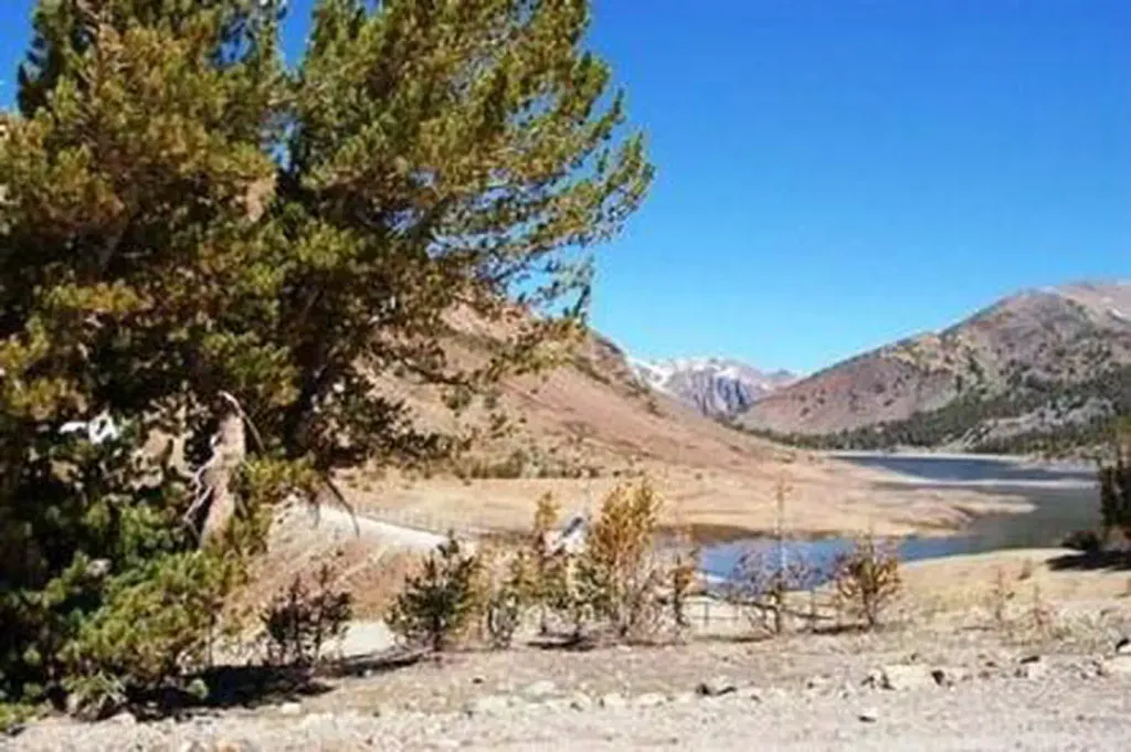 Saddlebag Lake Trailhead Group CampCampingPhoto: Recreation.gov (RIDB) / public domain2.5 mi
Source: Roamze catalog (indexable pages within 10 miles, PostGIS distance)
Shepherd CrestHiking · ~3 min drivePhoto: Dcrjsr, CC BY 3.0 (via Wikimedia Commons) Young Lakes via Dog Lake TrailHiking · ~6 min drivePhoto: Navin75, CC BY-SA 2.0 (via Wikimedia Commons)
 Green Creek TrailHiking · ~10 min drivePhoto: Moo.The.Cow, CC BY 2.0 (via Flickr)
 Young Lakes TrailHiking · ~11 min drivePhoto: BOB PERRY, CC BY 3.0 (via Wikimedia Commons)Lakes Basin Loop TrailHiking · ~3 min drivePhoto: Dcrjsr, CC BY 3.0 (via Wikimedia Commons)
 McCabe Lakes TrailHiking · ~7 min drivePhoto: Jesse Wagstaff, CC BY 2.0 (via Flickr)
 Rafferty Creek TrailHiking · ~12 min drivePhoto: swat671, CC BY-SA 2.0 (via Flickr)
 Pacific Crest TrailHiking · ~12 min drivePhoto: BOB PERRY, CC BY 3.0 (via Wikimedia Commons)Hess MineHiking · ~4 min drivePhoto: mjhbower, CC BY-SA 2.0 (via Flickr)
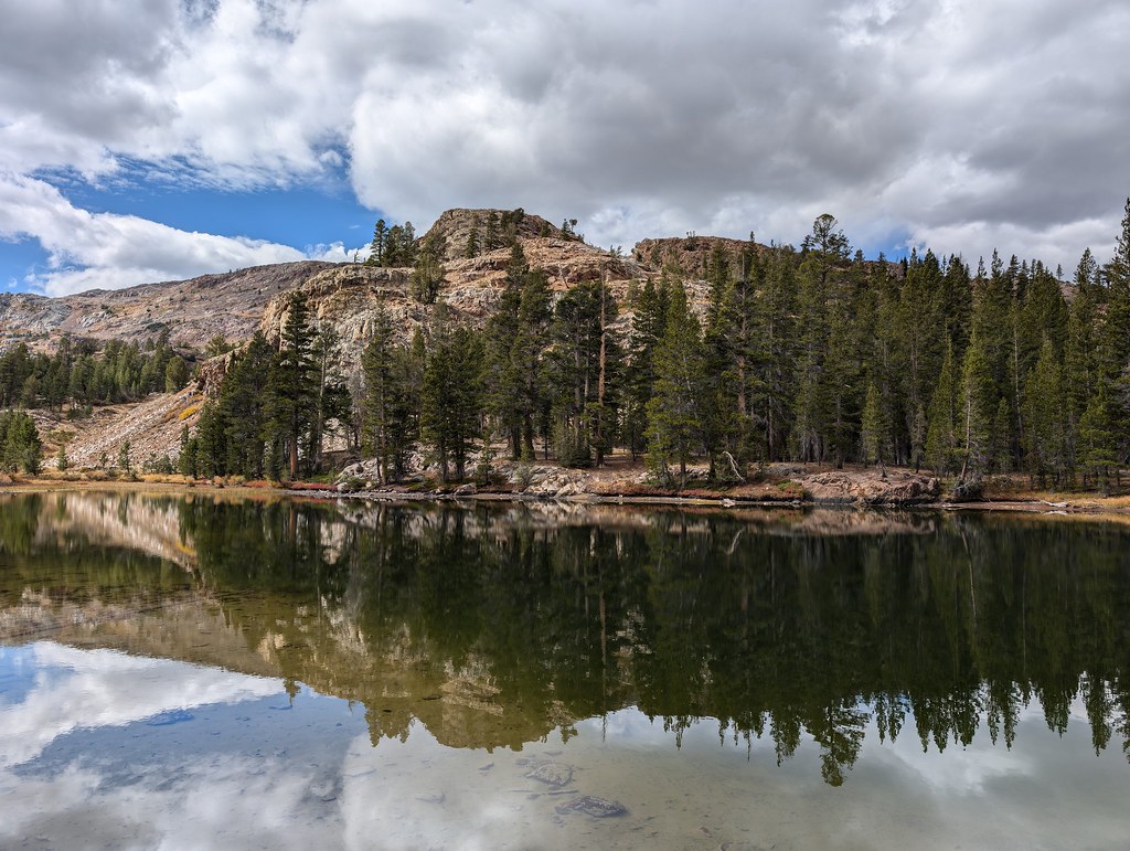 Bennetville Loop TrailHiking · ~7 min drivePhoto: RuggyBearLA, CC BY 2.0 (via Flickr)
Map and trail data © OpenStreetMap contributors

