Glacier Lodge Campground
Campground
Campground · 9.3 mi from the trail
 Photo: Matt Lavin, CC BY-SA 2.0 (via Flickr)
No closures listed
The National Park Service lists no closures for Kings Canyon National Park.
As of · Source: NPS · Kings Canyon National Park. Agencies don't list every closure — check before you go.
The John Muir Trail is a 6.5-mile out-and-back hike in Kings Canyon National Park, within the Sequoia-Kings Canyon Wilderness in California. The National Park Service manages the land, and the route starts and ends at about 8,020 feet, with a high point of 8,691 feet. The climb is moderate, with a total gain of 1,691 feet over the course of the trip, and the steepest stretch comes at about 2.7 miles in, where the grade reaches 13%. The trail is a short, focused outing. It takes about three hours to complete, and the Palisade Creek and Palisade Creek Alternate Crossing Route hikes sit just 0.1 mile away, so they can be added easily to the day. Dusy Switchbacks is about 3 miles off, and the Isosceles Peak climbing area is roughly 3.6 miles away.
Glacier Lodge Campground
Campground
Parchers Resort Cafe
Restaurant
Keough Hot Ditch
Hot spring
Places © OpenStreetMap contributors
More in BishopNot on Roamze yet. Their page has how to reach them.
Palisade CreekHikingPhoto: Matt Lavin, CC BY-SA 2.0 (via Flickr)0.1 miPalisade Creek Alternate Crossing RouteHikingPhoto: Matt Lavin, CC BY-SA 2.0 (via Flickr)0.1 mi Middle Fork Kings RiverCanoeingPhoto: Kurt Minard, CC BY-SA 3.0 (via Wikimedia Commons)8 mi
Source: Roamze catalog (indexable pages within 10 miles, PostGIS distance)
Palisade Creek Alternate Crossing RouteHiking · Next doorPhoto: Matt Lavin, CC BY-SA 2.0 (via Flickr) Bishop PassHiking · ~9 min drivePhoto: feverblue — CC BY-SA 2.0 (via Flickr)
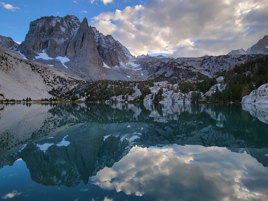 Palisade Glacier TrailHiking · ~11 min drivePhoto: Moo.The.Cow, CC BY 2.0 (via Flickr)
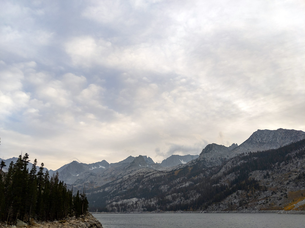 CloudripperHiking · ~14 min drivePhoto: RuggyBearLA, CC BY 2.0 (via Flickr)Fifth Lake SpurHiking · ~12 min drivePhoto: Moo.The.Cow, CC BY 2.0 (via Flickr)NORTH FORK BIG PINE CREEKHiking · ~12 min drivePhoto: Moo.The.Cow, CC BY 2.0 (via Flickr)
 TYEE LAKESHiking · ~15 min drivePhoto: inkknife_2000 (14 million views), CC BY-SA 2.0 (via Flickr)
 Gendarme PeakHiking · ~14 min drivePhoto: RuggyBearLA, CC BY 2.0 (via Flickr)Fourth Lake CutoffHiking · ~12 min drivePhoto: Moo.The.Cow, CC BY 2.0 (via Flickr)
 Treasure LakesHiking · ~13 min drivePhoto: RuggyBearLA, CC BY 2.0 (via Flickr)
Map and trail data © OpenStreetMap contributors

