Jenkinson Lake Loop
 Photo: ray_explores, CC BY 2.0 (via Flickr)
- 1.7 mi
- round trip
- 1,956 ft
- climb
- 3,643 ft
- high point
- Out and back
- route
- Mar–Jun, Sep–Oct
- best months
Jenkinson Lake Loop is an easy-rated hike in Sly Park, California, on land managed by Regional Agency Land. Despite the name, the route runs as an out-and-back: about 1.7 miles each way, or roughly 3.4 miles round trip. The trail starts at its low point near 3,470 feet and tops out around 3,640 feet, so it never strays far from its starting elevation. It does go up and down repeatedly along the way. Expect about 1,000 feet of climbing one way and close to 1,960 feet of gain and loss over the full round trip. The climbing is steady rather than concentrated in one big push. The steepest stretch, at a grade of about 16 percent, comes roughly half a mile from the start. Late spring and early fall are the most comfortable times to go. Typical averages from a nearby weather station at a similar elevation show May highs around 72°F and October highs near 66°F, while July and August average close to 90°F. Fleming Meadow Loop and the Jenkinson Lake Loop Access mountain biking route both lie about 1.3 miles away, and Sciaroni is about 1.5 miles off. For an overnight stay, Sly Guard Cabin is roughly 3 miles away.
Local outfitters
- Alpenglow Expeditions36 mi away
Not on Roamze yet. Their page has how to reach them.
 Fleming Meadow LoopHikingPhoto: ray_explores, CC BY 2.0 (via Flickr)1.3 mi
- Jenkinson Lake Loop AccessMountain biking1.3 mi
- SciaroniHikingPhoto: ray_explores, CC BY 2.0 (via Flickr)1.5 mi
- Sly Guard CabinCamping3.2 mi
- North Fork Cosumnes RiverCanoeing5.9 mi
- Steely Fork Cosumnes RiverCanoeing7.1 mi
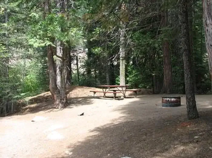 Capps CrossingCampingPhoto: Recreation.gov (RIDB) / public domain9 mi
- Dogtown CreekCanoeing9.4 mi
Source: Roamze catalog (indexable pages within 10 miles, PostGIS distance)
 Jenkinson Lake LoopHiking · ~1 min drivePhoto: ray_explores, CC BY 2.0 (via Flickr)
- Fleming Meadow LoopHiking · ~2 min drivePhoto: ray_explores, CC BY 2.0 (via Flickr)
 Stumpy Meadows TrailHiking · ~21 min drivePhoto: Pacific Southwest Region 5, Public domain (via Wikimedia Commons)
 Big Hill TrailHiking · ~16 min drivePhoto: Pacific Southwest Region 5, Public domain (via Wikimedia Commons)
 Jenkinson Lake LoopHiking · ~2 min drivePhoto: UncleVinny, CC BY 3.0 (via Wikimedia Commons)
- Fleming Meadow LoopHiking · ~3 min drivePhoto: UncleVinny, CC BY 3.0 (via Wikimedia Commons)
- West Shoreline TrailHiking · ~22 min drivePhoto: Pacific Southwest Region 5, Public domain (via Wikimedia Commons)
- UNION VALLEY BIKE TRAILHiking · ~22 min drive
- Quartz mining trailHiking · ~13 min drive
- SciaroniHiking · ~3 min drivePhoto: ray_explores, CC BY 2.0 (via Flickr)
Best time to visit Jenkinson Lake Loop
Best months: March–June and September–October. Best months have typical highs of 55–85 °F, lows of 30 °F or warmer (32 °F where the station doesn't record snow), at most one snowy day and no more than 12 wet days.
Jan
44° / 32°
12 wet
Feb
50° / 31°
12 wet
Mar
56° / 33°
12 wet
Apr
63° / 36°
9 wet
May
72° / 42°
7 wet
Jun
82° / 47°
3 wet
Jul
90° / 53°
1 wet
Aug
89° / 52°
1 wet
Sep
83° / 49°
2 wet
Oct
66° / 41°
5 wet
Nov
51° / 35°
9 wet
Dec
43° / 31°
12 wet
Typical high / low (°F) and days with rain or snow, 1991–2020. Measured at Pacific House, CA, 3 mi away at 3,450 ft. This station doesn't record snowfall. Source: NOAA NCEI U.S. Climate Normals 1991–2020.

Map and trail data © OpenStreetMap contributors
