Paroli Homesite Primitive Campground
Campground
Campground · 2.4 mi from the trail
 Photo: RuggyBearLA, CC BY 2.0 (via Flickr)
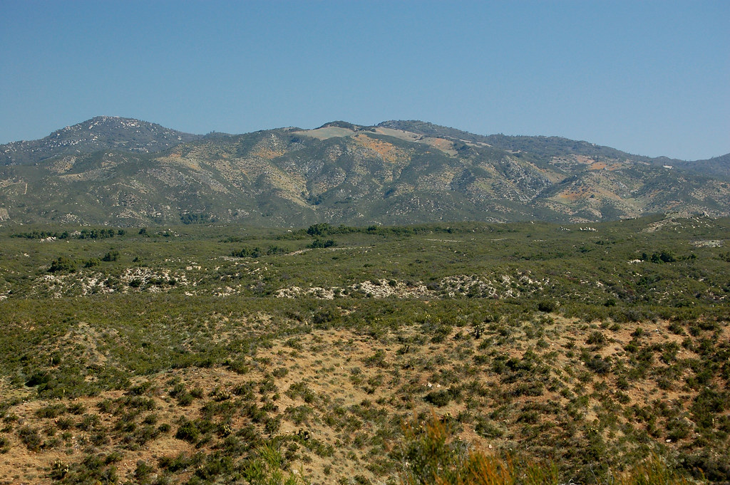
Jasper Trail is a hard out-and-back hike in Anza-Borrego Desert State Park in California, managed by State Park and Recreation. The route is about 10.9 miles long, with a total elevation gain of 2,413 feet, and it starts at roughly 4,121 feet, rising to a high point of 4,240 feet before descending back to the trailhead. The climb is steady, and the steepest stretch comes at about 3.5 miles in, where the grade reaches 25 percent. Spring and fall are the most comfortable times to go. Typical averages from a nearby weather station in Julian, at a similar elevation, show May highs around 69°F and October highs around 71°F, while July and August average highs near 86°F. The trip takes about five hours. Jasper Trail Boulders, a climbing area, sits just 0.3 miles away, and the California Riding and Hiking Trail and Wilson Trail are both within about a mile. Peña Springs Trail is roughly 2.9 miles off.
Paroli Homesite Primitive Campground
Campground
Volcan Mountain Air Beacon
Attraction
Places © OpenStreetMap contributors
More in JulianNot on Roamze yet. Their page has how to reach them.
Wilson TrailHikingPhoto: RuggyBearLA, CC BY 2.0 (via Flickr)1 mi Peña Springs TrailHikingPhoto: RuggyBearLA, CC BY-SA 2.0 (via Flickr)2.9 mi
 Culp Valley TrailHikingPhoto: RuggyBearLA, CC BY-SA 2.0 (via Flickr)3.1 mi
Source: Roamze catalog (indexable pages within 10 miles, PostGIS distance)
Wilson TrailHiking · ~2 min drivePhoto: RuggyBearLA, CC BY 2.0 (via Flickr) California Riding and Hiking TrailHiking · ~3 min drivePhoto: Jason Amunwa, CC BY 3.0 (via Wikimedia Commons)California Riding & Hiking TrailHiking · ~5 min drivePhoto: RuggyBearLA, CC BY-SA 2.0 (via Flickr)
 Pacific Crest National Scenic Trail #2000Hiking · ~12 min drivePhoto: lhogue46, CC BY 2.0 (via Flickr)California Riding & Hiking TrailHiking · ~5 min drivePhoto: RuggyBearLA, CC BY-SA 2.0 (via Flickr)Peña Springs TrailHiking · ~5 min drivePhoto: RuggyBearLA, CC BY-SA 2.0 (via Flickr)
 Pacific Crest National Scenic Trail #2000Hiking · ~9 min drivePhoto: lhogue46, CC BY 2.0 (via Flickr)
 Pacific Crest National Scenic Trail #2000Hiking · ~10 min drivePhoto: lhogue46, CC BY 2.0 (via Flickr)Culp Valley TrailHiking · ~5 min drivePhoto: RuggyBearLA, CC BY-SA 2.0 (via Flickr)
 Hellhole Canyon TrailHiking · ~11 min drivePhoto: Chris Hunkeler, CC BY-SA 2.0 (via Flickr)
Best months: March–June and September–November. Best months have typical highs of 55–85 °F, lows of 30 °F or warmer (32 °F where the station doesn't record snow), at most one snowy day and no more than 12 wet days.
Jan
53° / 39°
6 wet
Feb
54° / 39°
7 wet
Mar
57° / 41°
7 wet
Apr
62° / 43°
4 wet
May
69° / 47°
3 wet
Jun
79° / 55°
1 wet
Jul
86° / 62°
1 wet
Aug
86° / 62°
1 wet
Sep
81° / 57°
2 wet
Oct
71° / 50°
3 wet
Nov
60° / 43°
4 wet
Dec
52° / 38°
6 wet
Typical high / low (°F) and days with rain or snow, 1991–2020. Measured at Julian Cdf, CA, 10 mi away at 4,215 ft. This station doesn't record snowfall. Source: NOAA NCEI U.S. Climate Normals 1991–2020.
Map and trail data © OpenStreetMap contributors

