Paroli Homesite Primitive Campground
Campground
Campground · 2.4 mi from the trail
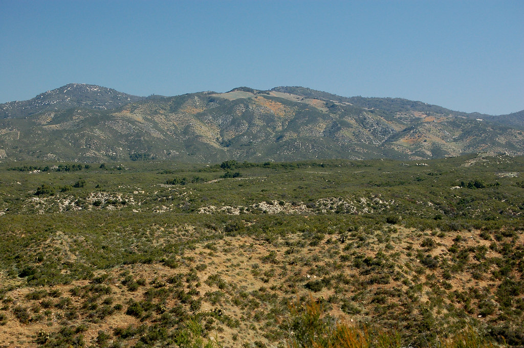
The California Riding and Hiking Trail is an easy out-and-back hike in Anza-Borrego Desert State Park, managed by State Park and Recreation. The route is about 1.7 miles long, with a total elevation gain of 252 feet, and it starts at roughly 4,140 feet. The climb is steady, with the steepest stretch at about 0.6 miles in, and the trail reaches a high point of about 4,175 feet before returning to the starting elevation. Spring and fall are the most comfortable times to go. Typical averages from a nearby weather station in Julian show May highs around 69°F and October highs around 71°F, while July and August average about 86°F. Jasper Trail Boulders, a climbing area, sits about 0.4 miles away, and the Wilson Trail and Jasper Trail are both within a mile. Cottonwood Spring East Canyon is about 1.7 miles off.
Paroli Homesite Primitive Campground
Campground
Volcan Mountain Air Beacon
Attraction
Places © OpenStreetMap contributors
More in JulianNot on Roamze yet. Their page has how to reach them.
 Wilson TrailHikingPhoto: RuggyBearLA, CC BY 2.0 (via Flickr)0.6 miJasper TrailHikingPhoto: RuggyBearLA, CC BY 2.0 (via Flickr)0.7 mi
 Peña Springs TrailHikingPhoto: RuggyBearLA, CC BY-SA 2.0 (via Flickr)3.1 mi
 Culp Valley TrailHikingPhoto: RuggyBearLA, CC BY-SA 2.0 (via Flickr)3.3 mi
Source: Roamze catalog (indexable pages within 10 miles, PostGIS distance)
Wilson TrailHiking · ~1 min drivePhoto: RuggyBearLA, CC BY 2.0 (via Flickr) California Riding and Hiking TrailHiking · ~2 min drivePhoto: Jason Amunwa, CC BY 3.0 (via Wikimedia Commons)California Riding & Hiking TrailHiking · ~5 min drivePhoto: RuggyBearLA, CC BY-SA 2.0 (via Flickr)
 Pacific Crest National Scenic Trail #2000Hiking · ~11 min drivePhoto: lhogue46, CC BY 2.0 (via Flickr)Jasper TrailHiking · ~1 min drivePhoto: RuggyBearLA, CC BY 2.0 (via Flickr)Peña Springs TrailHiking · ~5 min drivePhoto: RuggyBearLA, CC BY-SA 2.0 (via Flickr)
 Pacific Crest National Scenic Trail #2000Hiking · ~10 min drivePhoto: lhogue46, CC BY 2.0 (via Flickr)California Riding & Hiking TrailHiking · ~5 min drivePhoto: RuggyBearLA, CC BY-SA 2.0 (via Flickr)Culp Valley TrailHiking · ~6 min drivePhoto: RuggyBearLA, CC BY-SA 2.0 (via Flickr)
 Hellhole Canyon TrailHiking · ~11 min drivePhoto: Chris Hunkeler, CC BY-SA 2.0 (via Flickr)
Best months: March–June and September–November. Best months have typical highs of 55–85 °F, lows of 30 °F or warmer (32 °F where the station doesn't record snow), at most one snowy day and no more than 12 wet days.
Jan
53° / 39°
6 wet
Feb
54° / 39°
7 wet
Mar
57° / 41°
7 wet
Apr
62° / 43°
4 wet
May
69° / 47°
3 wet
Jun
79° / 55°
1 wet
Jul
86° / 62°
1 wet
Aug
86° / 62°
1 wet
Sep
81° / 57°
2 wet
Oct
71° / 50°
3 wet
Nov
60° / 43°
4 wet
Dec
52° / 38°
6 wet
Typical high / low (°F) and days with rain or snow, 1991–2020. Measured at Julian Cdf, CA, 9.7 mi away at 4,215 ft. This station doesn't record snowfall. Source: NOAA NCEI U.S. Climate Normals 1991–2020.
Map and trail data © OpenStreetMap contributors

