Half Moon Bay RV Park
Campground
Campground · 4.3 mi from the trail
 Photo: scorpio-tiger, CC BY-SA 2.0 (via Flickr)
Irish Ridge Trail is an easy hike of about 1 mile one way in Purisima Creek Redwoods Open Space Preserve in California, on land managed by a regional agency. The route is an out-and-back that starts and ends at about 1,928 feet, with a total climb and descent of roughly 640 feet. The steepest stretch comes right at the beginning, where the grade reaches about 23%, before the trail eases into a more moderate climb up to a high point of about 1,928 feet and then back down. Late spring and early fall are the most comfortable times to go. Typical averages from a nearby weather station at Skyline Ridge Preserve show May highs around 67°F with lows near 47°F, and September highs around 79°F with only about two wet days. Winter is much wetter, with roughly 14 to 15 wet days a month from December through February. Bald Knob is the closest place to pair with the trail.
Half Moon Bay RV Park
Campground
Historical building, former farm, and museum in Half Moon Bay, California
Places © OpenStreetMap contributors
More in Pescadero Bald Knob TrailHikingPhoto: scorpio-tiger, CC BY-SA 2.0 (via Flickr)0.2 mi
 Lobitos Creek TrailHikingPhoto: Jun Seita, CC BY 2.0 (via Flickr)0.8 mi
 Grabtown Gulch TrailHikingPhoto: Justin Dolske, CC BY-SA 2.0 (via Flickr)0.8 mi
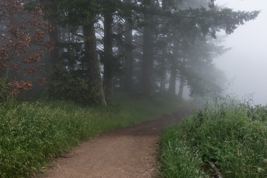 Borden Hatch Mill TrailHikingPhoto: Justin Dolske, CC BY-SA 2.0 (via Flickr)1 mi
 Purisima Creek TrailHikingPhoto: npdoty, CC BY 2.0 (via Flickr)1.2 miHarkins Ridge TrailHikingPhoto: npdoty, CC BY 2.0 (via Flickr)1.2 mi
Source: Roamze catalog (indexable pages within 10 miles, PostGIS distance)
Bald Knob TrailHiking · Next doorPhoto: scorpio-tiger, CC BY-SA 2.0 (via Flickr)Lobitos Creek TrailHiking · ~1 min drivePhoto: Jun Seita, CC BY 2.0 (via Flickr)Borden Hatch Mill TrailHiking · ~2 min drivePhoto: Justin Dolske, CC BY-SA 2.0 (via Flickr)Grabtown Gulch TrailHiking · ~1 min drivePhoto: Justin Dolske, CC BY-SA 2.0 (via Flickr)Purisima Creek TrailHiking · ~2 min drivePhoto: npdoty, CC BY 2.0 (via Flickr)Harkins Ridge TrailHiking · ~2 min drivePhoto: npdoty, CC BY 2.0 (via Flickr) Purisima Creek TrailHiking · ~2 min drivePhoto: dbaron, CC BY-SA 2.0 (via Flickr)
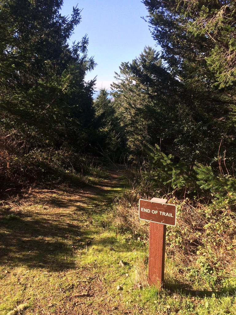 North Ridge TrailHiking · ~3 min drivePhoto: scorpio-tiger, CC BY-SA 2.0 (via Flickr)
 Whittemore Gulch TrailHiking · ~3 min drivePhoto: btwashburn, CC BY 2.0 (via Flickr)Craig Britton TrailHiking · ~3 min drivePhoto: dbaron, CC BY-SA 2.0 (via Flickr)
Best months: April–November. Best months have typical highs of 55–85 °F, lows of 30 °F or warmer (32 °F where the station doesn't record snow), at most one snowy day and no more than 12 wet days.
Jan
55° / 41°
14 wet
Feb
55° / 40°
14 wet
Mar
58° / 41°
13 wet
Apr
62° / 43°
10 wet
May
67° / 47°
7 wet
Jun
75° / 52°
3 wet
Jul
81° / 58°
1 wet
Aug
81° / 59°
1 wet
Sep
79° / 57°
2 wet
Oct
71° / 52°
6 wet
Nov
60° / 44°
11 wet
Dec
54° / 40°
15 wet
Typical high / low (°F) and days with rain or snow, 1991–2020. Measured at Skyline Ridge Preserve, CA, 12.1 mi away at 2,270 ft. This station doesn't record snowfall. Source: NOAA NCEI U.S. Climate Normals 1991–2020.
Map and trail data © OpenStreetMap contributors
