Half Moon Bay RV Park
Campground
Campground · 3.5 mi from the trail
 Photo: npdoty, CC BY 2.0 (via Flickr)
Harkins Ridge Trail is a hard, out-and-back hike in Purisima Creek Redwoods Open Space Preserve in California, on regional agency land. The route spans about 6 miles and rises from a low point of 512 feet to a high of 1,836 feet, with a total elevation gain of 2,742 feet over the round trip. The steepest stretch comes at about 2.9 miles in, where the grade reaches 23%. The most comfortable months for a visit are late spring through early fall. Typical averages from a nearby weather station at Skyline Ridge Preserve show June highs around 75°F with only a few wet days, and July and August highs near 81°F. Winter brings highs in the mid-50s and about 14 wet days a month. The estimated time for the hike is about 3.5 hours. The trail starts close to Purisima Creek Trail, just 0.1 mile away, and North Ridge Trail is about half a mile off. Borden Hatch Mill Trail and Irish Ridge Trail both lie within a mile.
Half Moon Bay RV Park
Campground
Historical building, former farm, and museum in Half Moon Bay, California
Places © OpenStreetMap contributors, Places © Overture Maps Foundation
More in PescaderoPurisima Creek TrailHikingPhoto: npdoty, CC BY 2.0 (via Flickr)0.1 mi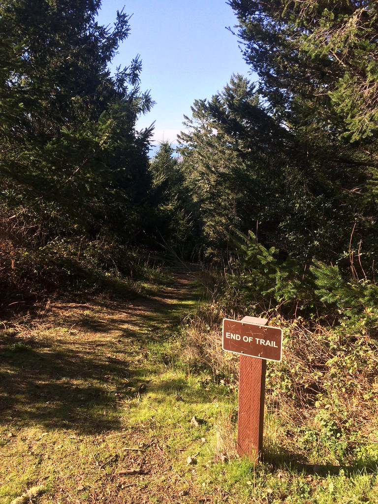 North Ridge TrailHikingPhoto: scorpio-tiger, CC BY-SA 2.0 (via Flickr)0.5 mi
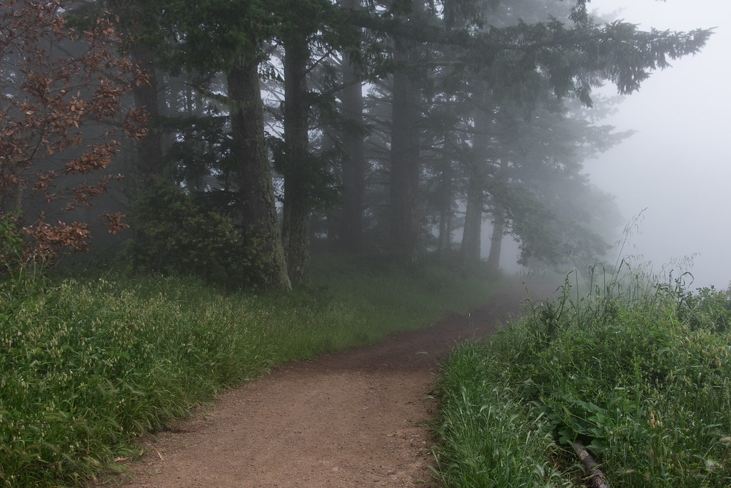 Borden Hatch Mill TrailHikingPhoto: Justin Dolske, CC BY-SA 2.0 (via Flickr)0.9 mi
 Irish Ridge TrailHikingPhoto: scorpio-tiger, CC BY-SA 2.0 (via Flickr)1.2 mi
 Grabtown Gulch TrailHikingPhoto: Justin Dolske, CC BY-SA 2.0 (via Flickr)1.2 mi
 Bald Knob TrailHikingPhoto: scorpio-tiger, CC BY-SA 2.0 (via Flickr)1.3 mi
Source: Roamze catalog (indexable pages within 10 miles, PostGIS distance)
Purisima Creek TrailHiking · Next doorPhoto: npdoty, CC BY 2.0 (via Flickr)Borden Hatch Mill TrailHiking · ~2 min drivePhoto: Justin Dolske, CC BY-SA 2.0 (via Flickr)Grabtown Gulch TrailHiking · ~2 min drivePhoto: Justin Dolske, CC BY-SA 2.0 (via Flickr)North Ridge TrailHiking · Next doorPhoto: scorpio-tiger, CC BY-SA 2.0 (via Flickr) Whittemore Gulch TrailHiking · ~2 min drivePhoto: btwashburn, CC BY 2.0 (via Flickr)Bald Knob TrailHiking · ~2 min drivePhoto: scorpio-tiger, CC BY-SA 2.0 (via Flickr)Irish Ridge TrailHiking · ~2 min drivePhoto: scorpio-tiger, CC BY-SA 2.0 (via Flickr)
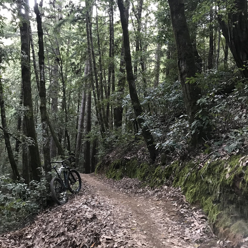 Methuselah TrailHiking · ~6 min drivePhoto: schvin, CC BY 2.0 (via Flickr)North Ridge TrailHiking · ~2 min drivePhoto: btwashburn, CC BY 2.0 (via Flickr)
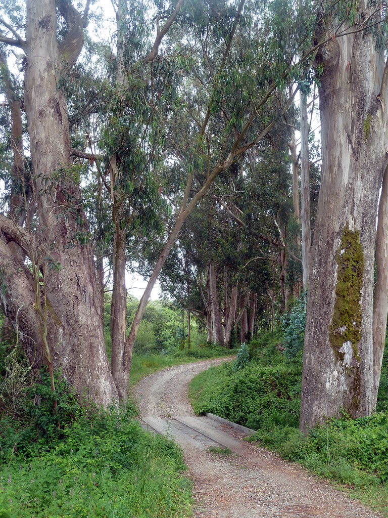 Burleigh-Murray Ranch TrailHiking · ~3 min drivePhoto: scorpio-tiger, CC BY-SA 2.0 (via Flickr)
Best months: April–November. Best months have typical highs of 55–85 °F, lows of 30 °F or warmer (32 °F where the station doesn't record snow), at most one snowy day and no more than 12 wet days.
Jan
55° / 41°
14 wet
Feb
55° / 40°
14 wet
Mar
58° / 41°
13 wet
Apr
62° / 43°
10 wet
May
67° / 47°
7 wet
Jun
75° / 52°
3 wet
Jul
81° / 58°
1 wet
Aug
81° / 59°
1 wet
Sep
79° / 57°
2 wet
Oct
71° / 52°
6 wet
Nov
60° / 44°
11 wet
Dec
54° / 40°
15 wet
Typical high / low (°F) and days with rain or snow, 1991–2020. Measured at Skyline Ridge Preserve, CA, 13.3 mi away at 2,270 ft. This station doesn't record snowfall. Source: NOAA NCEI U.S. Climate Normals 1991–2020.
Map and trail data © OpenStreetMap contributors
