Sabrina Campground
Campground
Campground · 3.8 mi from the trail
 Photo: MtDarwinUpload (talk · contribs), Public domain (via Wikimedia Commons)
Alert in the area
The Forest Service lists 3 alerts for Inyo National Forest.
Help Halt Golden Mussel Invasion
Agency alert covering Inyo National Forest · USFS · Inyo National Forest
Ansel Adams and John Muir Wilderness Campfire Restrictions
Agency alert covering Inyo National Forest · Order 05-04-50-25-04 · USFS · Inyo National Forest
Golden Trout and Hoover Wilderness Campfire Restrictions
Agency alert covering Inyo National Forest · Order 05-04-50-25-05 · USFS · Inyo National Forest
As of · Source: USFS · Inyo National Forest. Agencies don't list every closure — check before you go.
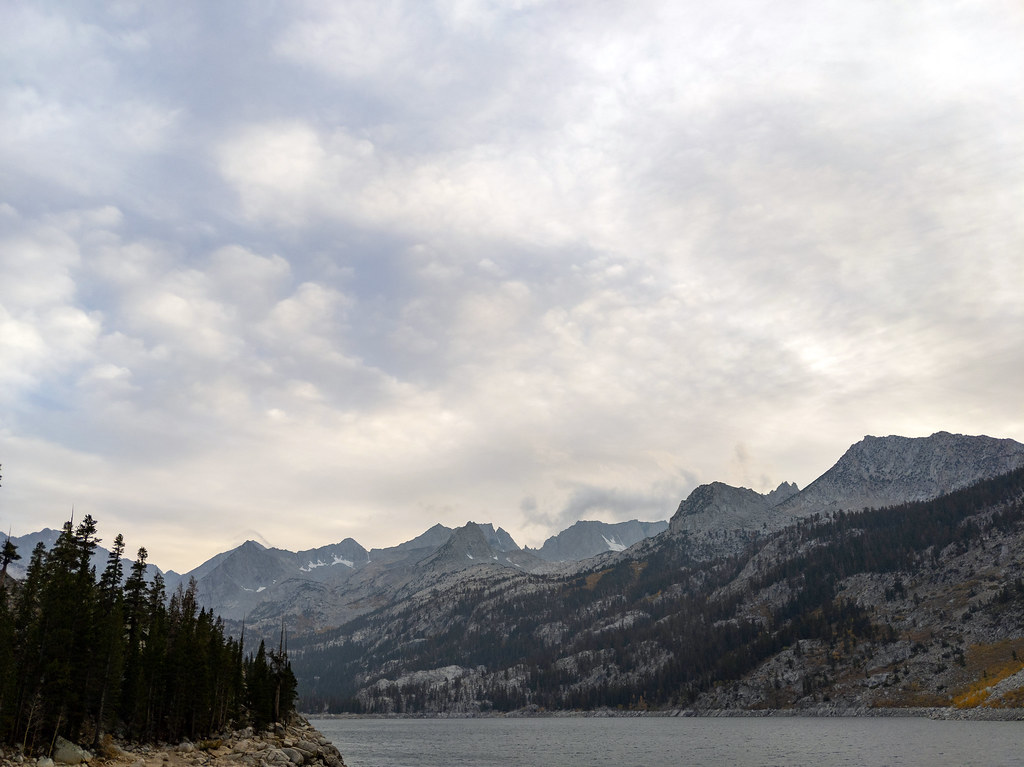
Hungry Packer Lake is an easy out-and-back hike in California's John Muir Wilderness, within the White Mountain Ranger District of Inyo National Forest. The trail is about 2.5 miles long, with a one-way elevation gain of 300 feet, and it runs from a low point of about 10,800 feet to a high of about 11,100 feet. The route is on natural surface and is open to horses. Bikes are not allowed, and the trail is not accessible. It is managed by the Forest Service and is open year-round. The closest neighbors are Topsy Turvy Lake, a mountain biking spot about 0.3 miles away, and the Midnight Lake Trail, a hike about 0.4 miles off. Bishop Pass & Evolution, a climbing area, lies about 2.3 miles away, and Sabrina Campground is about 3.8 miles away.
Sabrina Campground
Campground
Cardinal Cafe
Restaurant
Paiute-Shoshone Indian Cultural Center
Museum
Places © OpenStreetMap contributors
More in BishopNot on Roamze yet. Their page has how to reach them.
Midnight Lake TrailHikingPhoto: MtDarwinUpload (talk · contribs), Public domain (via Wikimedia Commons)0.4 mi Bishop Pass & EvolutionRock climbingPhoto: jfdervin, CC BY-SA 2.0 (via Flickr)2.3 mi
 Wild Rose ButtressRock climbingPhoto: inkknife_2000 (14 million views), CC BY-SA 2.0 (via Flickr)4.3 mi
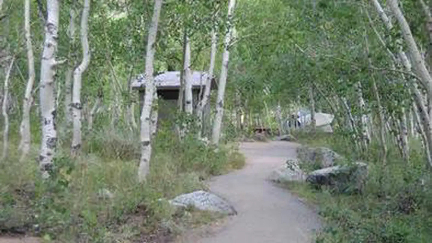 Table MountainRiver fishing4.7 mi
Source: Roamze catalog (indexable pages within 10 miles, PostGIS distance)
Topsy Turvy LakeHiking · Next doorPhoto: MtDarwinUpload (talk · contribs), Public domain (via Wikimedia Commons) Baboon LakeHiking · ~2 min drivePhoto: mjhbower, CC BY-SA 4.0 (via Wikimedia Commons)
 Lamarck ColHiking · ~6 min drivePhoto: TyB, CC BY 2.0 (via Flickr)
 Rainbow Pack Station TrailHiking · ~7 min drivePhoto: RuggyBearLA, CC BY 2.0 (via Flickr)Midnight Lake TrailHiking · Next doorPhoto: MtDarwinUpload (talk · contribs), Public domain (via Wikimedia Commons)Sabrina Basin TrailHiking · ~2 min drivePhoto: mjhbower, CC BY-SA 4.0 (via Wikimedia Commons)
 Mount Tom RossHiking · ~7 min drivePhoto: inkknife_2000 (14 million views), CC BY-SA 2.0 (via Flickr)
 Treasure LakesHiking · ~7 min drivePhoto: RuggyBearLA, CC BY 2.0 (via Flickr)
 Moonlight LakeHiking · Next doorPhoto: Jesse Wagstaff, CC BY 2.0 (via Flickr)
 Lamarck ColHiking · ~5 min drivePhoto: Hike395 (talk · contribs), CC BY 3.0 (via Wikimedia Commons)
Also worth it near here
 Mount DarwinSummit · ~3 min drivePhoto: MtDarwinUpload (talk · contribs), Public domain (via Wikimedia Commons)
 Tyee LakesMountain biking · ~4 min drivePhoto: daveynin from United States, CC BY 2.0 (via Wikimedia Commons)
