Loading…

Free — you'll pick up right here.
Watch this trail
Sign up to watch it — saving subscribes you to gate, closure and report changes.
California
10.6 mi
Distance
778 ft
Gain
We won't guess. Here is exactly what we do and don't know.
What we do know
Inside Tahoe National Forest
2 managing-area boundaries mapped — agency alerts for them feed this page automatically.
Boundary data
What's missing
No access route mapped
We don't yet know which road reaches this trailhead, so we can't tell you if it's gated.
Nobody's filed a report here yet — be the first.
Why you'll love it
Humbug
AI-suggested draft · review before you go
No permit or access details on file for this trail — check with the local land manager before you go.
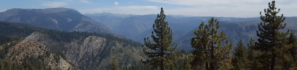
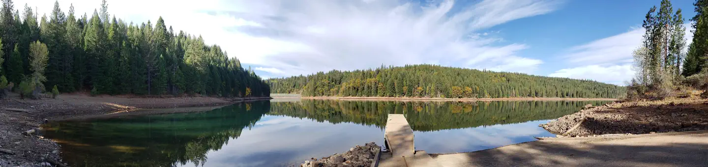
Humbug Trail is a moderate 10.6-mile round-trip hike offering steady elevation gain through the California backcountry. This trail provides a rewarding day hike experience with scenic views and a good cardiovascular challenge for intermediate hikers.
Mumford Bar
~4 min drive
Steep 10.8-mile trail with 2,953 ft gain through historic mining country.
American Eagle
~6 min drive
Steep 1.6-mile climb with 781 ft gain near American Eagle, California.
Sugar Pine Trail
~11 min drive
Scenic forest hike through pine woods with steady elevation gain.
American Hill
~6 min drive
Challenging 19.6-mile backcountry trail with 2,072 ft elevation gain.
Grouse Falls Overlook
~9 min drive
Easy 1-mile trail to a scenic waterfall overlook with minimal elevation gain.
Ford Point
~12 min drive
Coastal bluff hike with ocean views and moderate elevation gain.
American River
~7 min drive
Scenic 15.2-mile American River trail with steady elevation gain and riparian views.
Green Valley
~11 min drive
Easy 2.8-mile valley walk with gentle rolling terrain and oak woodlands.
Little Bald Mountain
~15 min drive
Scenic 5-mile summit hike with open ridgeline views and moderate elevation gain.
Tadpole
~11 min drive
Moderate 8-mile hike with 993 ft gain and steady elevation climbing.