Howard Ranch Trail
- 5.0 mi
- round trip
- 570 ft
- climb
- 298 ft
- high point
- Out and back
- route
- Oct–May
- best months
Howard Ranch Trail is a 10-mile out-and-back hike in Rancho Seco Recreational Area in California, on land managed as regional agency land. The route is rated moderate, with a one-way elevation gain of 297 feet. The trail's high point sits at 298 feet, and the route runs roughly flat, with the steepest stretch at about 2.9 miles in at a grade of 2%. The total round-trip elevation gain and loss both come to about 570 feet. Spring and fall are the most comfortable times to go. Typical averages from the Camp Pardee weather station, 15 miles away and about 360 feet lower, show May highs near 79°F and October highs near 78°F, with only a few wet days in each. Summer highs at that station reach the mid-90s. The hike takes about 3.5 hours. Paddlers can pair it with Dry Creek, a canoeing spot about 1.6 miles away, or Laguna, about 4.6 miles away.
Source: Roamze catalog (indexable pages within 10 miles, PostGIS distance)
 Wetlands TrailHiking · ~33 min drivePhoto: ray_explores, CC BY 2.0 (via Flickr)
- Mokelumne Coast to Crest Trail (Hiking Only)Hiking · ~24 min drive
- Mokelumne Coast to Crest TrailHiking · ~24 min drive
- Mokelumne Coast to Crest TrailHiking · ~27 min drive
 Rancho Rio De Los Americanos TrailHiking · ~36 min drivePhoto: Amelia Tauber, CC BY 4.0 (via Wikimedia Commons)
- Mokelumne Coast to Crest TrailHiking · ~24 min drive
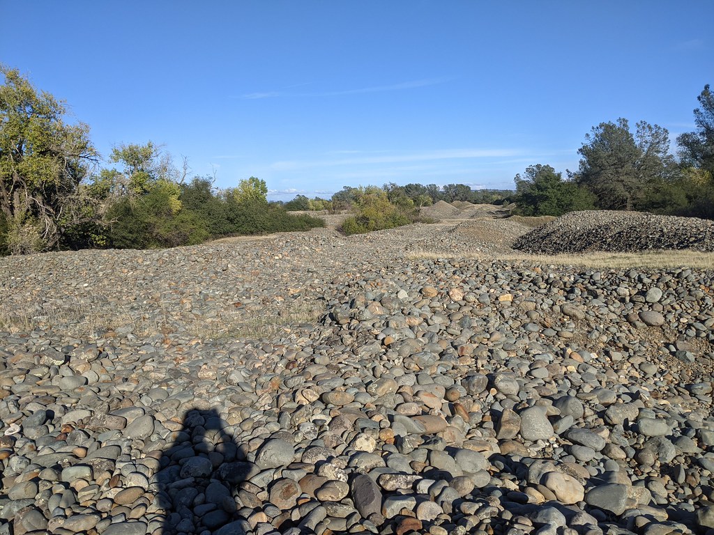 Fortune TrailHiking · ~37 min drivePhoto: vonguard, CC BY-SA 2.0 (via Flickr)
- Mokelumne Coast to Crest Trail (Hiking Only)Hiking · ~35 min drive
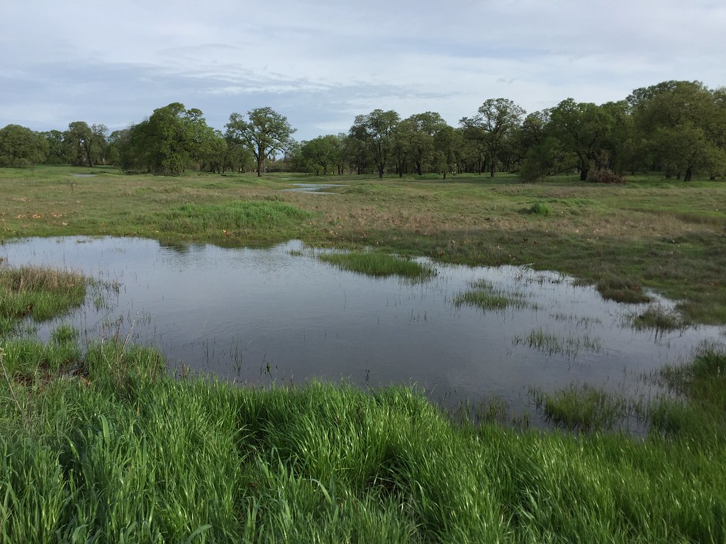 Shady TrailHiking · ~37 min drivePhoto: ray_explores, CC BY 2.0 (via Flickr)
- Levee PathHiking · ~37 min drive
Best time to visit Howard Ranch Trail
Best months: October–May. Best months have typical highs of 55–85 °F, lows of 30 °F or warmer (32 °F where the station doesn't record snow), at most one snowy day and no more than 12 wet days.
Jan
55° / 40°
11 wet
Feb
59° / 43°
10 wet
Mar
64° / 45°
10 wet
Apr
69° / 48°
7 wet
May
79° / 53°
4 wet
Jun
88° / 58°
1 wet
Jul
95° / 63°
0 wet
Aug
94° / 63°
0 wet
Sep
88° / 60°
1 wet
Oct
78° / 54°
3 wet
Nov
64° / 46°
7 wet
Dec
55° / 40°
11 wet
Typical high / low (°F) and days with rain or snow, 1991–2020. Measured at Camp Pardee, CA, 15.2 mi away at 658 ft. Source: NOAA NCEI U.S. Climate Normals 1991–2020.
Map and trail data © OpenStreetMap contributors
