Camp Jones Gulch YMCA
Campground
Campground · 4.1 mi from the trail
 Photo: btwashburn, CC BY 2.0 (via Flickr)
Harrington Creek Trail is a hard out-and-back hike of about 10.6 miles on La Honda Creek Open Space Preserve in California, on Regional Agency Land. The trail gains about 2,270 feet in total, with the high point at 1,117 feet, and the climb is steady, with the steepest section at about 2.9 miles in, where the grade reaches 22 percent. Late summer into early fall is the most comfortable stretch. Typical averages from a nearby weather station in San Gregorio show September highs around 72°F with lows near 49°F and only about three wet days. That station sits well below the trail, so temperatures up high run cooler. The estimated time for the hike is about 4.5 hours. Ridge Trail is about 1.4 miles away, and Grasshopper Loop Trail and Lonely Forest Trail are each about 1.5 miles off. San Gregorio Creek, a canoeing route, is about 2.5 miles away.
Camp Jones Gulch YMCA
Campground
Alice's at Skylonda
Bar
 If it rainsBrokenSphere, CC BY-SA 3.0 · Wikimedia Commons
Hoover Tower
Museum
285-foot structure on the campus of Stanford University
Places © OpenStreetMap contributors, Places © Overture Maps Foundation · Photos: BrokenSphere, CC BY-SA 3.0 (commons)
More in Pescadero Grasshopper Loop TrailHikingPhoto: btwashburn, CC BY 2.0 (via Flickr)1.5 miLonely Forest TrailHikingPhoto: btwashburn, CC BY 2.0 (via Flickr)1.5 mi
Source: Roamze catalog (indexable pages within 10 miles, PostGIS distance)
Grasshopper Loop TrailHiking · ~3 min drivePhoto: btwashburn, CC BY 2.0 (via Flickr)Lonely Forest TrailHiking · ~3 min drivePhoto: btwashburn, CC BY 2.0 (via Flickr)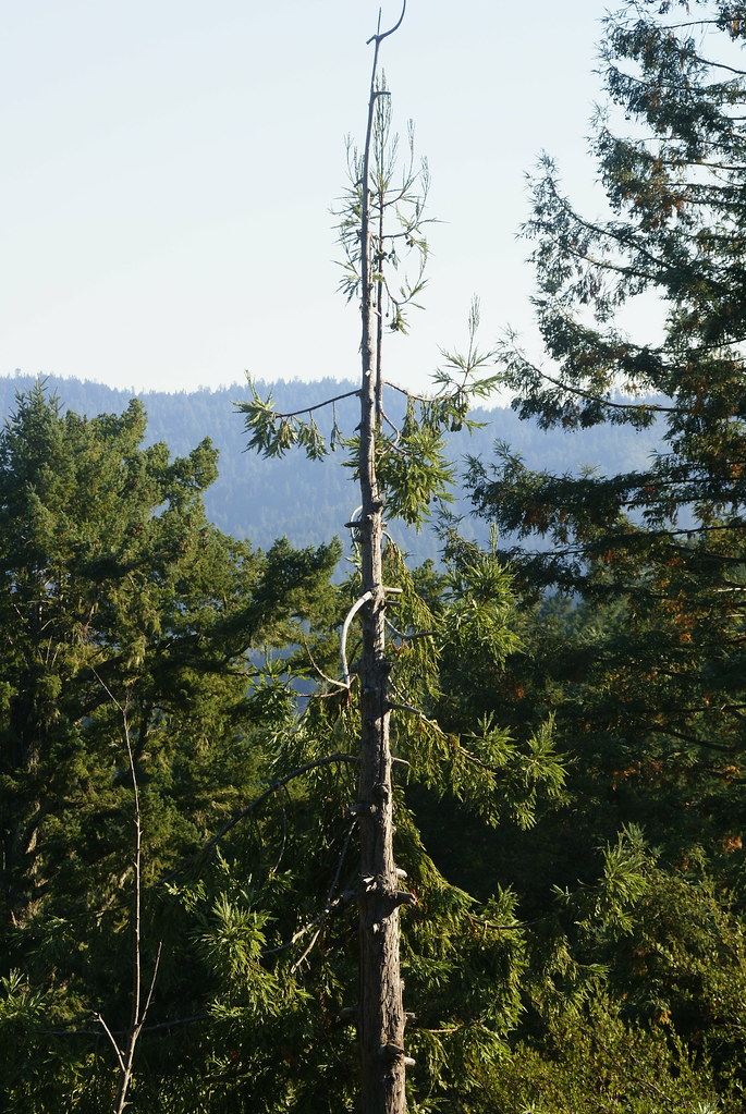 Pomponio Truck TrailHiking · ~5 min drivePhoto: dbaron, CC BY-SA 2.0 (via Flickr)
 Virginia Mill TrailHiking · ~5 min drivePhoto: schvin, CC BY 2.0 (via Flickr)
 Lone Madrone TrailHiking · ~4 min drivePhoto: bsterling, CC BY-SA 2.0 (via Flickr)
 Skyline TrailHiking · ~7 min drivePhoto: dbaron, CC BY-SA 2.0 (via Flickr)
 Youth Camp TrailHiking · ~6 min drivePhoto: btwashburn, CC BY 2.0 (via Flickr)Coho Vista TrailHiking · ~4 min drivePhoto: bsterling, CC BY-SA 2.0 (via Flickr)
 Alambique TrailHiking · ~7 min drivePhoto: Richard Wood, CC BY-SA 3.0 (via Wikimedia Commons)
 Big Tree TrailHiking · ~7 min drivePhoto: Buddha Dog, CC BY-SA 2.0 (via Flickr)
Best months: March–November. Best months have typical highs of 55–85 °F, lows of 30 °F or warmer (32 °F where the station doesn't record snow), at most one snowy day and no more than 12 wet days.
Jan
60° / 40°
13 wet
Feb
60° / 41°
13 wet
Mar
61° / 41°
12 wet
Apr
62° / 43°
10 wet
May
64° / 46°
6 wet
Jun
67° / 48°
4 wet
Jul
69° / 52°
3 wet
Aug
71° / 52°
3 wet
Sep
72° / 49°
3 wet
Oct
69° / 45°
6 wet
Nov
63° / 41°
10 wet
Dec
59° / 40°
13 wet
Typical high / low (°F) and days with rain or snow, 1991–2020. Measured at San Gregorio 2 Se, CA, 3.9 mi away at 275 ft. The station sits about 800 ft lower than this place, so expect it a little cooler here. Source: NOAA NCEI U.S. Climate Normals 1991–2020.
Map and trail data © OpenStreetMap contributors
