Merganser Campground
Campground
Campground · 2.0 mi from the trail
Grandmother Oak Trail is a 1.8-mile out-and-back hike in Sugarloaf Ridge State Park in California, managed by State Park and Recreation. The trail starts at about 1,865 feet and reaches a high point of 1,865 feet, so the route is a loop that returns to the starting point. The climb is rolling, with a total gain and loss of 761 feet, and the steepest stretch comes at about 0.25 miles in, where the grade reaches 19%. The most comfortable months for a visit are typically May and October, when typical averages from a nearby weather station run around 73°F and 72°F, with only a few wet days. Summer is warmer, with July highs near 85°F, and winter brings highs in the mid-50s and about 13 wet days a month. The trip takes about an hour. Maple Glen Trail is 0.6 miles away and Headwaters Trail is 0.8 miles away, and Quercus Trail is 1.3 miles off. Climbers can find Sugarloaf Ridge about 3.5 miles away.
Merganser Campground
Campground
Golden Bear Station
Restaurant
 If it rainsJERRYE AND ROY KLOTZ MD, CC BY-SA 3.0 · Wikimedia Commons
Blue Wing Inn
Museum
Places © OpenStreetMap contributors · Photos: JERRYE AND ROY KLOTZ MD, CC BY-SA 3.0 (commons)
More in TemelecNot on Roamze yet. Their page has how to reach them.
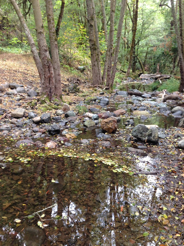 Headwaters TrailHikingPhoto: regexman, CC BY 2.0 (via Flickr)0.8 miQuercus TrailHikingPhoto: regexman, CC BY 2.0 (via Flickr)1.3 mi
 Santa Rosa CreekCanoeingPhoto: Covalent at en.wikipedia, CC BY-SA 3.0 (via Wikimedia Commons)5.2 mi
 Napa RiverCanoeingPhoto: Allen Lew (w:Flickr user enlewof), CC BY 2.0 (via Wikimedia Commons)5.9 mi
Source: Roamze catalog (indexable pages within 10 miles, PostGIS distance)
Headwaters TrailHiking · ~1 min drivePhoto: regexman, CC BY 2.0 (via Flickr) Red Mountain TrailHiking · ~5 min drivePhoto: Philip Kendall, CC BY-SA 2.0 (via Wikimedia Commons)Quercus TrailHiking · ~2 min drivePhoto: regexman, CC BY 2.0 (via Flickr)Headwaters TrailHiking · ~6 min drivePhoto: Philip Kendall, CC BY-SA 2.0 (via Wikimedia Commons)Hood Mountain TrailHiking · ~2 min drivePhoto: regexman, CC BY 2.0 (via Flickr)
 Stern TrailHiking · ~6 min drivePhoto: sarahstierch, Public Domain Dedication (CC0) (via Flickr)Hood Mountain TrailHiking · ~3 min drivePhoto: regexman, CC BY 2.0 (via Flickr)Lower Bald Mountain TrailHiking · ~6 min drivePhoto: sarahstierch, Public Domain Dedication (CC0) (via Flickr)
 Pony Gate TrailHiking · ~5 min drivePhoto: sarahstierch, Public Domain Dedication (CC0) (via Flickr)
Best months: February–November. Best months have typical highs of 55–85 °F, lows of 30 °F or warmer (32 °F where the station doesn't record snow), at most one snowy day and no more than 12 wet days.
Jan
54° / 39°
13 wet
Feb
56° / 40°
11 wet
Mar
60° / 41°
11 wet
Apr
66° / 42°
8 wet
May
73° / 47°
4 wet
Jun
80° / 51°
1 wet
Jul
85° / 54°
0 wet
Aug
84° / 54°
0 wet
Sep
81° / 53°
1 wet
Oct
72° / 50°
4 wet
Nov
60° / 43°
9 wet
Dec
53° / 39°
13 wet
Typical high / low (°F) and days with rain or snow, 1991–2020. Measured at Angwin Pacific Union College, CA, 8.6 mi away at 1,715 ft. This station doesn't record snowfall. Source: NOAA NCEI U.S. Climate Normals 1991–2020.
Map and trail data © OpenStreetMap contributors

