Edison Ferry Pickup
Campground
Campground · 1.4 mi from the trail
Closure in the area
There's a closure order in Sierra National Forest. It doesn't name Goodale Pass, so check the source for the area it covers (3 listed).
Safety Tips for Burned Areas: Garnet Fire Area
Agency closure covering Sierra National Forest · USFS · Sierra National Forest
Wilderness Food and Refuse Storage
Agency closure covering Sierra National Forest · Order 05-15-00-26-03 · USFS · Sierra National Forest
Food and Refuse Storage
Agency closure covering Sierra National Forest · Order 05-15-00-26-02 · USFS · Sierra National Forest
Forest Order removes Fish Camp, Soda Springs, and Little Jackass from closure list
Agency alert covering Sierra National Forest · Order 05-15-00-26-11 · USFS · Sierra National Forest
Ansel Adams and John Muir Wilderness Campfire Restrictions
Agency alert covering Sierra National Forest · Order 05-15-00-26-09 · USFS · Sierra National Forest
As of · Source: USFS · Sierra National Forest. Agencies don't list every closure — check before you go.
Goodale Pass is a hard out-and-back hike in California's Ansel Adams Wilderness, within the High Sierra Ranger District of Sierra National Forest. The trail runs about 12 miles, with a one-way elevation gain of 2,342 feet, from a low point of 8,835 feet to a high of 10,977 feet. The Forest Service manages the land, and the route is natural-surface and open to horses. The pass sits in designated wilderness, and the trail is not accessible. It is open year-round, so plan for conditions that can change with the season. The Graveyard Cutoff and Feather Lake hikes both start within a third of a mile. Vermillion Campground is about 3.4 miles away, and Mono Hot Springs is about 6.5 miles away.
Edison Ferry Pickup
Campground
Iva Bell Hot Springs
Hot spring
Places © OpenStreetMap contributors
More in Mammoth LakesNot on Roamze yet. Their page has how to reach them.
 Photo: garritron — CC BY 2.0 (via Flickr)
Devil's Bathtub
~3 min drive
1.06-mile out-and-back trail in California with 331 ft elevation gain.
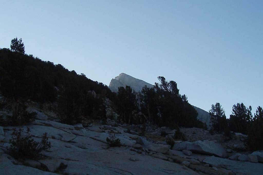 Photo: Tom Hilton, CC BY 2.0 (via Flickr)
Volcanic Knob
~7 min drive
2.88-mile out-and-back trail in California with 668 ft elevation gain.
 Photo: Tom Hilton, CC BY 2.0 (via Wikimedia Commons)
Peter Pande Lake
~8 min drive
3.60-mile out-and-back trail to Peter Pande Lake in California.
HIKE
Mono Creek Trail
~5 min drive
23.92-mile out-and-back trail in California with 4,745 ft elevation gain and loss.
 Photo: GSEC, CC BY 2.0 (via Flickr)
Bear Creek
~9 min drive
0.58-mile out-and-back trail at Bear Creek in California with 157 ft of elevation gain.
Photo: GSEC, CC BY 2.0 (via Flickr)Cirque Lake
~8 min drive
12.98-mile out-and-back trail to Cirque Lake in California with 3,524 ft gain.
 Photo: GSEC, CC BY 2.0 (via Flickr)
Bear Creek Cutoff
~8 min drive
5.96-mile loop trail in California with 1,637 ft elevation gain
Photo: Tom Hilton, CC BY 2.0 (via Wikimedia Commons)Olive Lake
~9 min drive
2.76-mile out-and-back trail to Olive Lake in California with 433 ft elevation gain.
 Photo: Matt Lavin, CC BY-SA 2.0 (via Flickr)
Minnow Creek
~8 min drive
18.74-mile out-and-back trail in California with 628 ft elevation gain.
HIKE
GRAVEYARD CUTOFF
Next door
8.22-mile out-and-back trail in California with 1,366 ft elevation gain/loss

