Foothill Trail
- 0.7 mi
- round trip
- 638 ft
- climb
- 392 ft
- high point
- Out and back
- route
- Mar–Nov
- best months
Is Foothill Trail open right now?
Alert in the area
The National Park Service lists an alert for Redwood National Park.
Delays along Highway 101
Park alert covering Redwood National Park · NPS · Redwood National Park
As of · Source: NPS · Redwood National Park. Agencies don't list every closure — check before you go.
Foothill Trail is a short, easy out-and-back hike in California, set within the overlap of Redwood National Park and Prairie Creek Redwoods State Park. The land is managed by State Park and Recreation, and the route sits about 0.2 miles from the Prairie Creek State Park trail network, making it an easy add-on to a visit to the surrounding area. The trail is roughly 1.5 miles long and rises from about 271 feet to a high point of 392 feet, with a total elevation gain and loss of about 638 feet for the round trip. The steepest stretch comes at about 0.6 miles in, where the grade reaches 14 percent, and the climb is rolling rather than steep or continuous. Summer and early fall are the mildest times to go. Typical averages from a nearby weather station at Orick Prairie Creek Park show highs near 69°F in August and September, while winter highs sit in the low 50s. That station sits about 230 feet below the trail, so temperatures on the trail run a little cooler. The trip takes about an hour. Within a quarter mile of the trail are the Elk Prairie Trail, the West Ridge Trail and the Nature Trail. Prairie Creek, a canoeing spot, lies about 0.9 miles away.
- Elk Prairie TrailHiking0.2 mi
- West Ridge TrailHiking0.2 mi
- Nature TrailHiking0.2 mi
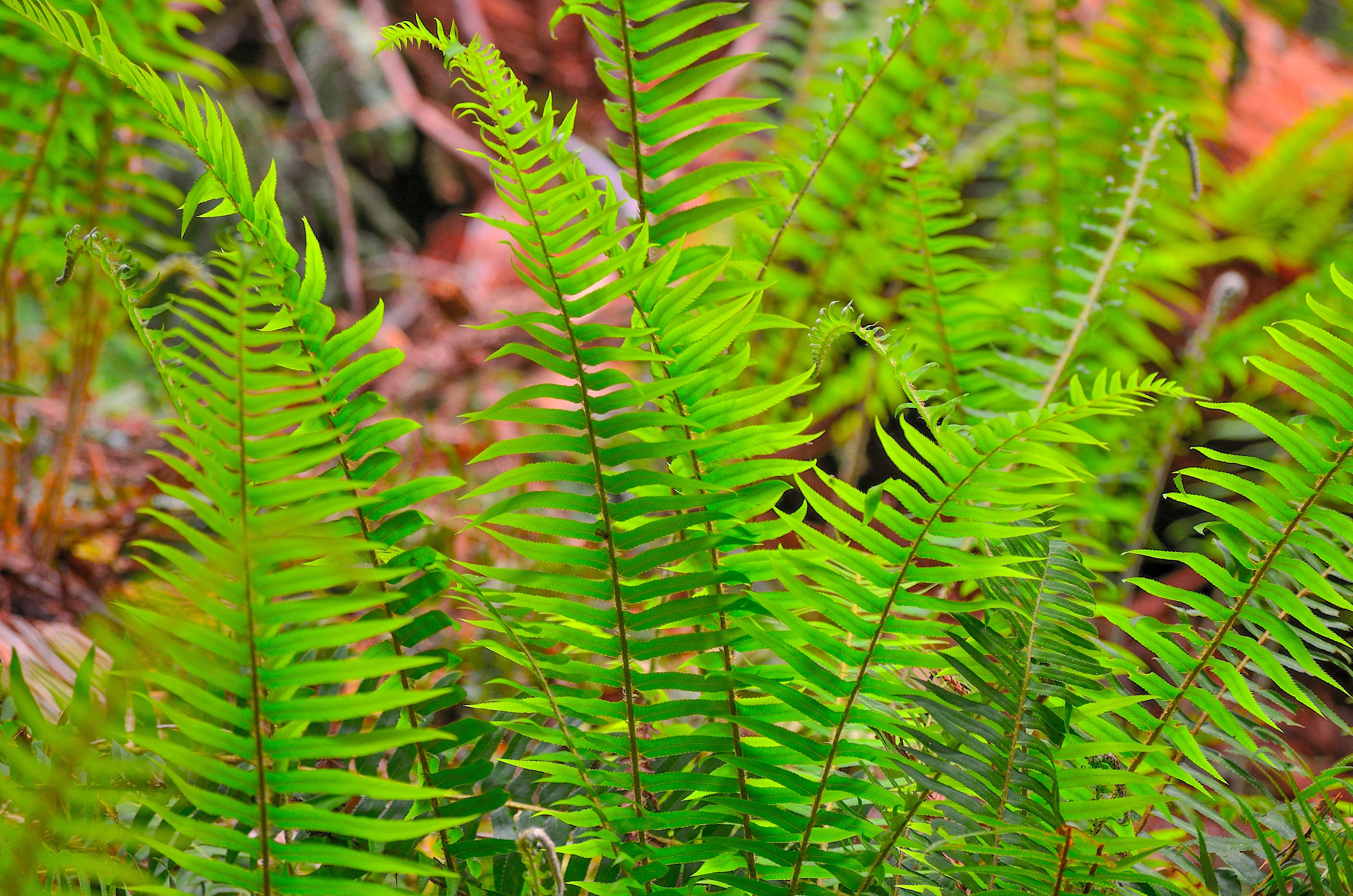 Revelation TrailHikingPhoto: NPS Photo / Steve Olson0.3 mi
 Prairie CreekCanoeingPhoto: Thewellman, CC0 (via Wikimedia Commons)0.9 mi
- Ah Pah CreekCanoeing4.6 mi
- Bear CreekCanoeing6.6 mi
- Carruther's CoveRock climbing7.3 mi
Source: Roamze catalog (indexable pages within 10 miles, PostGIS distance)
- Trailhead: Karl Knapp (Prairie Creek) to Foothills Trail LoopHiking · Next door
 Cathedral Trees TrailHiking · Next doorPhoto: Scottb211, CC BY 2.0 (via Flickr)
 Rhododendron TrailHiking · ~5 min drivePhoto: Redwood National and State Parks, Public domain (via Wikimedia Commons)
- Davison Trail: South AccessHiking · ~5 min drive
- West Ridge TrailHiking · Next door
- Revelation TrailHiking · Next door
 Foothill TrailHiking · ~2 min drivePhoto: lamblukas, CC BY 2.0 (via Flickr)
 Berry Glen TrailHiking · ~6 min drivePhoto: Aleksandr Zykov, CC BY-SA 2.0 (via Flickr)
- Elk Meadow Day Use AreaHiking · ~5 min drive
 Foothill TrailHiking · ~2 min drivePhoto: estro, CC BY-SA 2.0 (via Flickr)
Also worth it near here
 Elk Prairie CampgroundCamping · ~1 min drivePhoto: Redwood National and State Parks — Public Domain Mark 1.0 (via Flickr)
- Prairie CreekCanoeing · ~2 min drivePhoto: Thewellman, CC0 (via Wikimedia Commons)
- Gold Bluffs CampgroundBeach · ~5 min drive
 Cormorant Rock and Awkward TurtleRock climbing · ~19 min drivePhoto: lamblukas, CC BY 2.0 (via Flickr)
Best time to visit Foothill Trail
Best months: March–November. Best months have typical highs of 55–85 °F, lows of 30 °F or warmer (32 °F where the station doesn't record snow), at most one snowy day and no more than 12 wet days.
Jan
52° / 36°
Feb
54° / 37°
Mar
56° / 37°
Apr
58° / 39°
May
61° / 43°
Jun
64° / 46°
Jul
67° / 49°
Aug
69° / 49°
Sep
69° / 45°
Oct
65° / 42°
Nov
56° / 39°
Dec
51° / 36°
Typical high / low (°F) and days with rain or snow, 1991–2020. Measured at Orick Prairie Creek Park, CA, 0.2 mi away at 160 ft. This station doesn't record snowfall. Source: NOAA NCEI U.S. Climate Normals 1991–2020.
Map and trail data © OpenStreetMap contributors
