Flat Frog Trail
 Photo: dbaron, CC BY-SA 2.0 (via Flickr)
- 2.2 mi
- round trip
- 2,267 ft
- climb
- 2,554 ft
- high point
- Out and back
- route
Flat Frog Trail is a 4.5-mile out-and-back hike in Henry W. Coe State Park in California, managed by State Park and Recreation. The trail rises from about 2,498 feet to a high point of 2,554 feet, with a total elevation gain of 2,267 feet over the round trip. The climb is steady, and the steepest stretch comes at about 1.6 miles in, where the grade reaches 12 percent. The trail is rated moderate, and the trip takes about 2.5 hours. The route starts at roughly 2,498 feet and ends at the same elevation, so the total gain and loss are equal. Several other trails sit right next to Flat Frog Trail. Springs Trail, Fish Trail and Corral Trail are each about 0.1 mile away, and Monument Trail is about 0.4 mile off. For paddling, Coyote Creek is about 10 miles away.
- Springs TrailHikingPhoto: dbaron, CC BY-SA 2.0 (via Flickr)0.1 mi
- Fish TrailHikingPhoto: dbaron, CC BY-SA 2.0 (via Flickr)0.1 mi
- Corral TrailHikingPhoto: dbaron, CC BY-SA 2.0 (via Flickr)0.1 mi
 Monument TrailHikingPhoto: vonguard, CC BY-SA 2.0 (via Flickr)0.4 mi
- Willow Tree Spring TrailHikingPhoto: vonguard, CC BY-SA 2.0 (via Flickr)0.4 mi
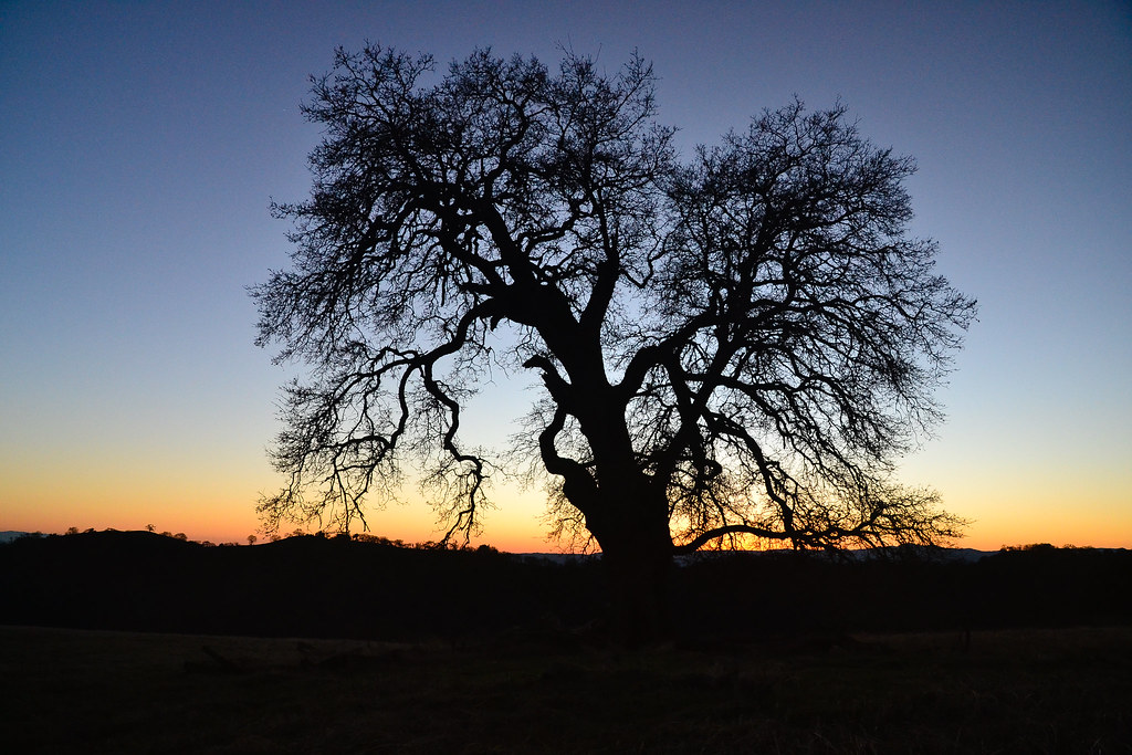 Live Oak TrailHikingPhoto: ilya_ktsn, CC BY 2.0 (via Flickr)0.4 mi
 Ponderosa TrailHikingPhoto: dbaron, CC BY-SA 2.0 (via Flickr)0.5 mi
 Coyote CreekCanoeingPhoto: Dicklyon, CC BY-SA 4.0 (via Wikimedia Commons)9.9 mi
Source: Roamze catalog (indexable pages within 10 miles, PostGIS distance)
- Corral TrailHiking · Next doorPhoto: dbaron, CC BY-SA 2.0 (via Flickr)
 Forest TrailHiking · ~1 min drivePhoto: ilya_ktsn, CC BY 2.0 (via Flickr)
 China Hole TrailHiking · ~3 min drivePhoto: ilya_ktsn, CC BY 2.0 (via Flickr)
- Monument TrailHiking · Next doorPhoto: vonguard, CC BY-SA 2.0 (via Flickr)
 Frog Lake TrailHiking · ~2 min drivePhoto: ilya_ktsn, CC BY 2.0 (via Flickr)
 Middle Ridge TrailHiking · ~3 min drivePhoto: ilya_ktsn, CC BY 2.0 (via Flickr)
- Willow Tree Spring TrailHiking · Next doorPhoto: vonguard, CC BY-SA 2.0 (via Flickr)
- Madrone Soda Springs TrailHiking · ~3 min drivePhoto: ilya_ktsn, CC BY 2.0 (via Flickr)
- Cross Canyon TrailHiking · ~9 min drive
- Live Oak TrailHiking · Next doorPhoto: ilya_ktsn, CC BY 2.0 (via Flickr)

Map and trail data © OpenStreetMap contributors
