Fishtown Trail
- 1.9 mi
- round trip
- 2,712 ft
- climb
- 3,688 ft
- high point
- Out and back
- route
Caution today
Agency alerts are in effect for this area; weather is marginal · USFS, OpenWeather · checked just now
Is Fishtown Trail open right now?
Alert in the area
The Forest Service lists 20 alerts for Mendocino National Forest.
Prescribed burning in Upper Lake Ranger District
Agency alert covering Mendocino National Forest · USFS · Mendocino National Forest
Pile burning on M5 Road in western Colusa County
Agency alert covering Mendocino National Forest · USFS · Mendocino National Forest
Heavy equipment in Three Prong Campground
Agency alert covering Mendocino National Forest · USFS · Mendocino National Forest
Chico Seed Orchard Public Use and Access Closure
Agency alert covering Mendocino National Forest · Order 08-26-02 · USFS · Mendocino National Forest
M10 Road Status - closure in place Mondays-Fridays
Agency alert covering Mendocino National Forest · USFS · Mendocino National Forest
As of · Source: USFS · Mendocino National Forest. Agencies don't list every closure — check before you go.
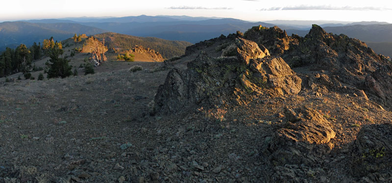
Fishtown Trail is a hard hike in California's Yolla Bolly-Middle Eel Wilderness, within the Covelo Ranger District of Mendocino National Forest. The trail is an out-and-back that starts at about 2,632 feet and climbs to a high point of 3,688 feet, with a total gain of 2,712 feet over the round trip. The one-way distance is about 3.9 miles, and the route is rated hard. The trail lies in designated wilderness, and the Forest Service manages the land. Plan on about 2.5 hours for the trip. Little Doe Trail is about a mile away, and Little Doe campground is about 1.4 miles off. Devils Den Trail is about 1.7 miles away, and Howard Lake Campground is about 2 miles away.
- Little Doe TrailHiking1 mi
- Little DoeCamping1.4 mi
- Devils Den TrailHiking1.7 mi
- Howard Lake CgCamping2 mi
- Travelers Home TrailHiking2 mi
- Howard MeadowsCamping2.2 mi
- Beaver CreekCanoeing3.1 mi
- Rattlesnake CreekCanoeing6.3 mi
Source: Roamze catalog (indexable pages within 10 miles, PostGIS distance)
- Devils Den TrailHiking · ~3 min drive
- Devils Spur TrailHiking · ~4 min drive
- Smokehouse Ridge TrailHiking · ~7 min drive
- SUMMITHiking · ~10 min drive
- Elk Lake TrailHiking · ~11 min drive
- Blands Cove Trail Spur KHiking · ~4 min drive
- HELL HOLE CANYONHiking · ~8 min drive
- Travelers Home TrailHiking · ~10 min drive
- Hammerhorn Ridge CutoffHiking · ~12 min drive
- Hammerhorn Lake TrailHiking · ~5 min drive
Also worth it near here

Map and trail data © OpenStreetMap contributors
