Ferndale View Trail
 Photo: MARELBU, CC BY 3.0 (via Wikimedia Commons)
- 0.6 mi
- round trip
- 619 ft
- climb
- 589 ft
- high point
- Out and back
- route
- May–Oct
- best months
Ferndale View Trail is a short, moderate out-and-back hike in Russ Park, a city-managed park in California. The trail is about 1.3 miles long, with a total elevation gain of 619 feet, and it starts and ends at nearly the same low point of about 90 feet. The climb is front-loaded, with the steepest stretch at the beginning, where the grade reaches about 39 percent. The most comfortable time to go is late summer into early fall. Typical averages from a nearby weather station in Scotia show September highs around 73°F with only about three wet days, while winter months bring highs in the mid-50s and rain on roughly 17 days a month. That station sits about 450 feet lower than the trail's high point of 589 feet, so temperatures on the trail run cooler. The trip takes about half an hour. The Pacific View Trail starts just 0.1 mile away, and the Main Trail and Maple Leaf Loop Trail are each about 0.4 mile off. For a longer outing, the Great Redwood Trail lies about 5 miles away.
- Pacific View TrailHikingPhoto: MARELBU, CC BY 3.0 (via Wikimedia Commons)0.1 mi
- Main TrailHikingPhoto: MARELBU, CC BY 3.0 (via Wikimedia Commons)0.4 mi
- Maple Leaf Loop TrailHiking0.4 mi
 Great Redwood TrailHikingPhoto: sarahstierch, Public Domain Dedication (CC0) (via Flickr)5.1 mi
- Southern LoopHiking6.1 mi
- Northern LoopHiking6.2 mi
 Hookton Slough TrailHikingPhoto: sagesolar, CC BY 2.0 (via Flickr)7.5 mi
- Shorebird Loop TrailHikingPhoto: sagesolar, CC BY 2.0 (via Flickr)8.3 mi
Source: Roamze catalog (indexable pages within 10 miles, PostGIS distance)
- Pacific View TrailHiking · Next doorPhoto: MARELBU, CC BY 3.0 (via Wikimedia Commons)
- Main TrailHiking · Next doorPhoto: MARELBU, CC BY 3.0 (via Wikimedia Commons)
 Elk River TrailHiking · ~18 min drivePhoto: Dana L. Brown, CC BY-SA 2.0 (via Flickr)
 Thorton TrailHiking · ~34 min drivePhoto: Cal Fire Battalion Chief Kurt Dernedde, California Department of Forestry and Fire Protection, http://www.fire.ca.gov/, Public domain (via Wikimedia Commons)
- Great Redwood TrailHiking · ~9 min drivePhoto: sarahstierch, Public Domain Dedication (CC0) (via Flickr)
- South Side TrailHiking · ~18 min drivePhoto: Dana L. Brown, CC BY-SA 2.0 (via Flickr)
- Hookton Slough TrailHiking · ~13 min drivePhoto: sagesolar, CC BY 2.0 (via Flickr)
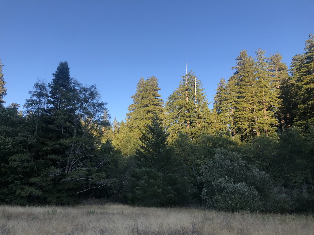 Baxter TrailHiking · ~35 min drivePhoto: Rainhead, CC BY-SA 2.0 (via Flickr)
- Shorebird Loop TrailHiking · ~14 min drivePhoto: sagesolar, CC BY 2.0 (via Flickr)
 Homestead TrailHiking · ~34 min drivePhoto: Jesse Palmer, CC BY-SA 2.0 (via Flickr)
Best time to visit Ferndale View Trail
Best months: May–October. Best months have typical highs of 55–85 °F, lows of 30 °F or warmer (32 °F where the station doesn't record snow), at most one snowy day and no more than 12 wet days.
Jan
57° / 43°
17 wet
Feb
58° / 43°
15 wet
Mar
59° / 43°
17 wet
Apr
62° / 45°
14 wet
May
64° / 49°
10 wet
Jun
67° / 51°
5 wet
Jul
70° / 54°
2 wet
Aug
72° / 54°
1 wet
Sep
73° / 52°
3 wet
Oct
69° / 48°
7 wet
Nov
61° / 45°
14 wet
Dec
55° / 42°
17 wet
Typical high / low (°F) and days with rain or snow, 1991–2020. Measured at Scotia, CA, 10.2 mi away at 136 ft. This station doesn't record snowfall. Source: NOAA NCEI U.S. Climate Normals 1991–2020.


Map and trail data © OpenStreetMap contributors
