Half Moon Bay RV Park
Campground
Campground · 6.7 mi from the trail
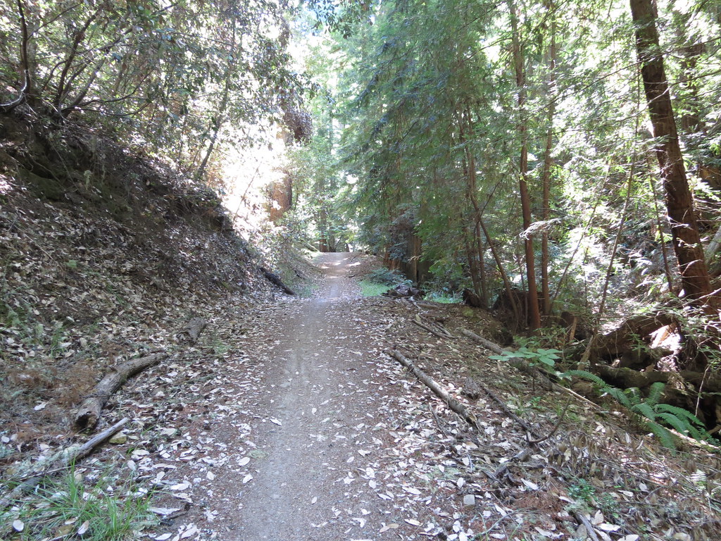 Photo: Buddha Dog, CC BY-SA 2.0 (via Flickr)
El Corte de Madera Creek Trail is an easy hike of about 2.6 miles in the El Corte de Madera Creek Open Space Preserve in California, on land managed by a regional agency. It is a short, steady climb with a total elevation gain of 941 feet, and the route is out and back, so you return to the starting point. The trail begins at an elevation of about 2,041 feet and reaches a high point of 2,138 feet. The climb is most pronounced in the first mile, where the grade reaches about 16%. The route is rated easy, and the round trip takes roughly 1.5 hours. The most comfortable stretch for a visit is late spring and early fall. Typical averages from a nearby weather station at Skyline Ridge Preserve show highs around 67°F in May and 71°F in October. Midsummer is drier and warmer, with highs near 81°F and only about one wet day a month in July and August. The trail sits among several other routes, with Tafoni Trail about 0.3 miles away and Fir Trail about 0.4 miles away. Resolution Trail and Manzanita Trail are both within half a mile.
Half Moon Bay RV Park
Campground
Historical building, former farm, and museum in Half Moon Bay, California
Places © OpenStreetMap contributors
More in PescaderoTafoni TrailHikingPhoto: Buddha Dog, CC BY-SA 2.0 (via Flickr)0.3 miFir TrailHikingPhoto: Buddha Dog, CC BY-SA 2.0 (via Flickr)0.4 mi Resolution TrailHikingPhoto: dbaron, CC BY-SA 2.0 (via Flickr)0.5 mi
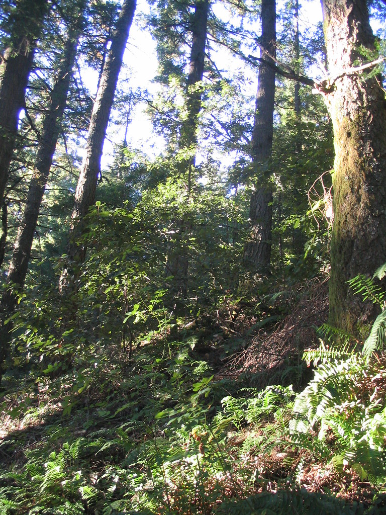 Sierra Morena TrailHikingPhoto: dbaron, CC BY-SA 2.0 (via Flickr)0.8 mi
 Crosscut TrailHikingPhoto: bsterling, CC BY-SA 2.0 (via Flickr)0.9 mi
Source: Roamze catalog (indexable pages within 10 miles, PostGIS distance)
Tafoni TrailHiking · Next doorPhoto: Buddha Dog, CC BY-SA 2.0 (via Flickr)Fir TrailHiking · Next doorPhoto: Buddha Dog, CC BY-SA 2.0 (via Flickr) Skyline TrailHiking · ~2 min drivePhoto: bsterling, CC BY-SA 2.0 (via Flickr)Resolution TrailHiking · Next doorPhoto: dbaron, CC BY-SA 2.0 (via Flickr)
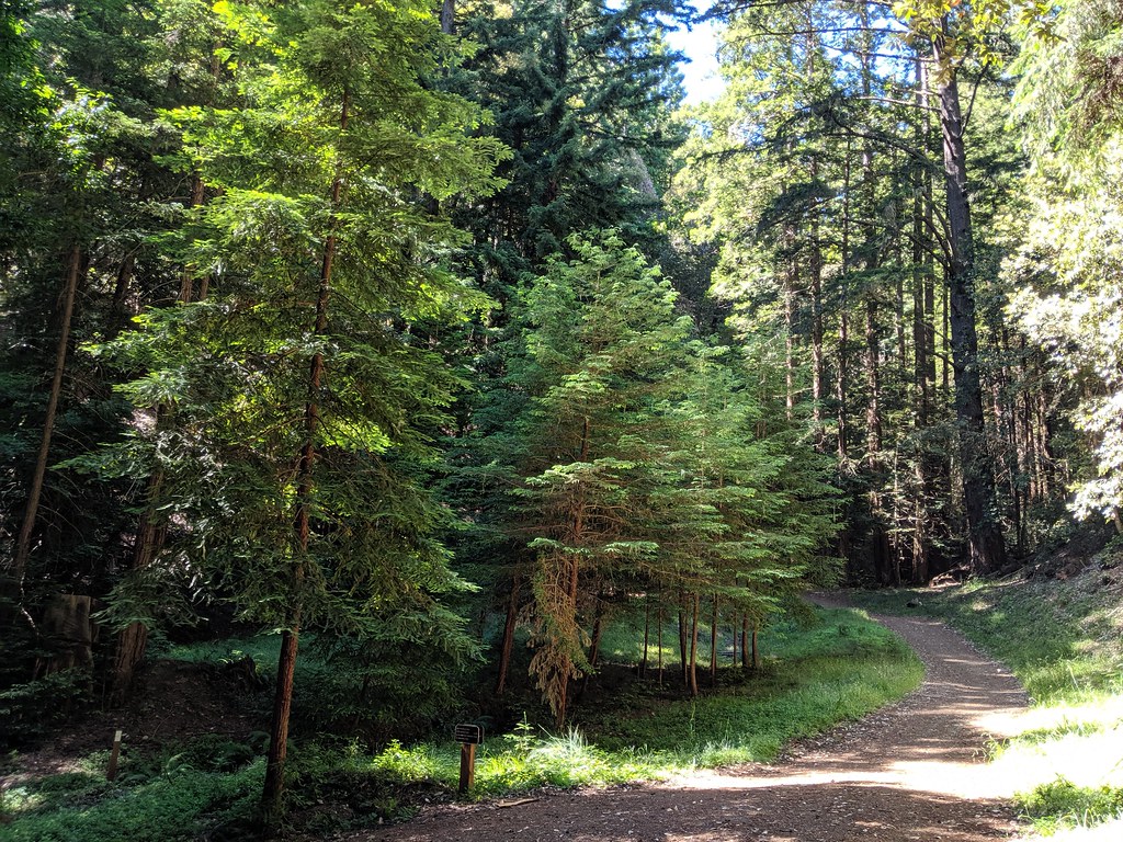 Manzanita TrailHiking · Next doorPhoto: dbaron, CC BY-SA 2.0 (via Flickr)
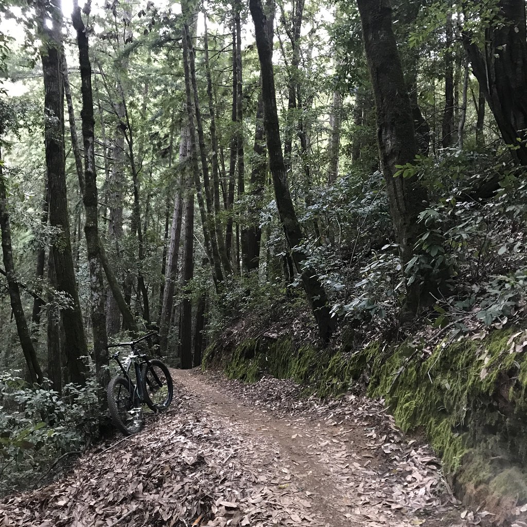 Methuselah TrailHiking · ~2 min drivePhoto: schvin, CC BY 2.0 (via Flickr)El Corte de Madera Creek TrailHiking · ~1 min drivePhoto: dbaron, CC BY-SA 2.0 (via Flickr)Tafoni TrailHiking · Next doorPhoto: dbaron, CC BY-SA 2.0 (via Flickr)
 Skyline TrailHiking · ~3 min drivePhoto: dbaron, CC BY-SA 2.0 (via Flickr)Sierra Morena TrailHiking · ~1 min drivePhoto: dbaron, CC BY-SA 2.0 (via Flickr)
Also worth it near here
Best months: April–November. Best months have typical highs of 55–85 °F, lows of 30 °F or warmer (32 °F where the station doesn't record snow), at most one snowy day and no more than 12 wet days.
Jan
55° / 41°
14 wet
Feb
55° / 40°
14 wet
Mar
58° / 41°
13 wet
Apr
62° / 43°
10 wet
May
67° / 47°
7 wet
Jun
75° / 52°
3 wet
Jul
81° / 58°
1 wet
Aug
81° / 59°
1 wet
Sep
79° / 57°
2 wet
Oct
71° / 52°
6 wet
Nov
60° / 44°
11 wet
Dec
54° / 40°
15 wet
Typical high / low (°F) and days with rain or snow, 1991–2020. Measured at Skyline Ridge Preserve, CA, 10 mi away at 2,270 ft. This station doesn't record snowfall. Source: NOAA NCEI U.S. Climate Normals 1991–2020.
Map and trail data © OpenStreetMap contributors
