Ed's Lost Trail
- 0.7 mi
- round trip
- 261 ft
- climb
- 731 ft
- high point
- Out and back
- route
- Nov–Mar
- best months
Ed's Lost Trail is an easy 0.65-mile out-and-back hike on Bureau of Land Management land in California's El Centro Field Office, about 1.3 miles long with a total elevation gain of 261 feet. The trail starts at about 478 feet and reaches a high of 731 feet. The climb is front-loaded, with the steepest part at the beginning, a 19% grade about 0.08 miles in. The whole route goes up and back, so the 261 feet of gain is for the round trip. The most comfortable months for a visit are winter and early spring. Typical averages from a nearby weather station in El Centro show January highs around 70°F with lows near 42°F, while summer highs climb past 100°F. That station sits well below the trail, so temperatures on the route run cooler. Dan's Lost Trail lies about 0.4 miles away, and Mine Trail is about 1.1 miles off. Carrizo Wash, a paddling spot, is roughly 9.4 miles away.
Local outfitters
- Borrego Outfitters38 mi away
Not on Roamze yet. Their page has how to reach them.
Source: Roamze catalog (indexable pages within 10 miles, PostGIS distance)
 Split Mountain hikeHiking · ~29 min drivePhoto: RuggyBearLA, CC BY 2.0 (via Flickr)
 Cross Over TrailHiking · ~35 min drivePhoto: RuggyBearLA, CC BY 2.0 (via Flickr)
 Goat Canyon TrailHiking · ~40 min drivePhoto: el cajon yacht club, CC BY 2.0 (via Flickr)
- Oyster Shell TrailHiking · ~30 min drivePhoto: RuggyBearLA, CC BY 2.0 (via Flickr)
 Tectonic Gorge TrailHiking · ~41 min drivePhoto: RuggyBearLA, CC BY 2.0 (via Flickr)
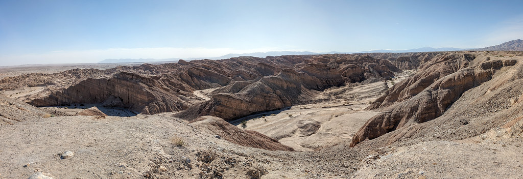 Truckhaven TrailHiking · ~41 min drivePhoto: RuggyBearLA, CC BY 2.0 (via Flickr)
 Rock Hill TrailHiking · ~33 min drivePhoto: Sean Foster, CC BY 3.0 (via Wikimedia Commons)
- Gas Dome TrailHiking · ~28 min drive
- Gettysburg TrailHiking · ~42 min drivePhoto: RuggyBearLA, CC BY 2.0 (via Flickr)
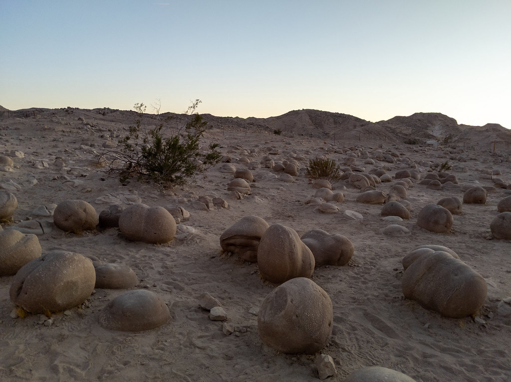 Lost Lizard TrailHiking · ~39 min drivePhoto: RuggyBearLA, CC BY 2.0 (via Flickr)
Best time to visit Ed's Lost Trail
Best months: November–March. Best months have typical highs of 55–85 °F, lows of 30 °F or warmer (32 °F where the station doesn't record snow), at most one snowy day and no more than 12 wet days.
Jan
70° / 42°
Feb
74° / 46°
Mar
81° / 51°
Apr
87° / 56°
May
94° / 62°
Jun
103° / 69°
Jul
107° / 77°
Aug
107° / 78°
Sep
102° / 72°
Oct
91° / 60°
Nov
79° / 48°
Dec
69° / 41°
Typical high / low (°F) and days with rain or snow, 1991–2020. Measured at El Centro Naf, CA, 13.1 mi away at -42 ft. The station sits about 800 ft lower than this place, so expect it a little cooler here. This station doesn't record snowfall. Source: NOAA NCEI U.S. Climate Normals 1991–2020.

Map and trail data © OpenStreetMap contributors
