Loading…

Free — you'll pick up right here.
Watch this trail
Sign up to watch it — saving subscribes you to gate, closure and report changes.
California
11.0 mi
Distance
1,737 ft
Gain
An agency closure order is in effect for this area; weather is good
2 factors · 2 sources
Newest 11 h ago · oldest 28 d
problem: Agency alerts
21 active alerts in Shasta-Trinity National Forest; most severe: Mud and Ash Creek Area and Road Closure
USFS28 d ago
clear: Weather
Clouds, high 61°F / low 61°F, 0% precip — 97/100 for hike
OpenWeather11 h ago
Been out here in the last few days? One report keeps this current for everyone.
Why you'll love it
East Tule Creek
AI-suggested draft · review before you go
No permit or access details on file for this trail — check with the local land manager before you go.
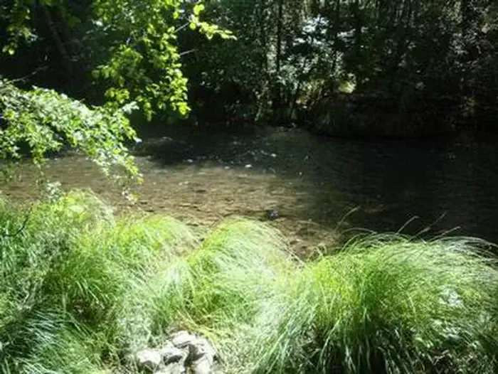
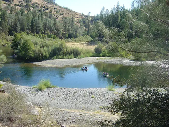
East Tule Creek offers a moderate 10.98-mile adventure through the Sierra Nevada foothills with nearly 1,750 feet of elevation gain. This trail follows creek drainage through mixed conifer and oak woodland, providing reliable water access and scenic canyon views. The steady climb rewards hikers with mountain vistas and a chance to experience the transition zone between foothill and alpine ecosystems.
Pasture Gulch
~14 min drive
Moderate 5.89-mile gulch hike with 864 ft elevation gain.
Bear Creek
~14 min drive
Moderate 8.6-mile creek-side hike with 955 ft elevation gain.
Potato Creek
~19 min drive
Short creek-side hike with 556 ft elevation gain near Potato Creek, California.
East Fork Divide
~15 min drive
Accessible 4-mile divide trail with 791 ft gain and scenic views.
Pattison Peak
~17 min drive
Steep Sierra climb to alpine peak with 3,340 ft elevation gain.
Lake Vista Trail
~26 min drive
Scenic 1.92-mile climb with 769 ft gain and lake views.
Scheill Gulch
~17 min drive
Moderate 4.21-mile gulch hike with 1,670 ft elevation gain.
Marble Caves
~19 min drive
Moderate 6.4-mile hike to marble cave formations with 2,509 ft elevation gain.
Sugarloaf Peak
~27 min drive
Quick and easy summit hike with modest elevation gain near Sugarloaf Peak.
Wintoon Flat
~22 min drive
Steady 3.3-mile climb to a scenic plateau in northern California foothills.