RV Spaces 236-244
Campground
Campground · 1.0 mi from the trail
Delta Trail is a short, easy out-and-back hike in California, about 2 miles from the town of Sky Valley. The route is just over a mile long, with a total climb of about 130 feet, and it starts and ends at roughly 1,187 feet. The trail is back-loaded, so the steepest part comes early, with a grade of about 3% at around 0.09 miles in. Winter and early spring are the most comfortable times to go. Typical averages from a nearby weather station in Palm Springs show January highs around 71°F and lows near 48°F, while summer highs climb into the 100s. That station sits about 766 feet lower than the trail, so temperatures on the trail run cooler. The hike takes about half an hour. The closest neighbors are the Alpha Trail and the COVID Monument Trail, both about 0.7 miles away, and the Hot Springs Trail at about 1.2 miles. The Sky Line Trail is about 1.5 miles off.
RV Spaces 236-244
Campground
Children's museum in Rancho Mirage, California
Places © OpenStreetMap contributors, Places © Overture Maps Foundation
More in Desert Hot SpringsNot on Roamze yet. Their page has how to reach them.
 Herman's HikeHikingPhoto: Martin Haeusler, CC BY-SA 3.0 (via Wikimedia Commons)4.9 mi
 Moon Country TrailHikingPhoto: Tom Hilton, CC BY 2.0 (via Flickr)5.4 mi
 McCallum TrailHikingPhoto: Martin Haeusler, CC BY-SA 3.0 (via Wikimedia Commons)6.3 mi
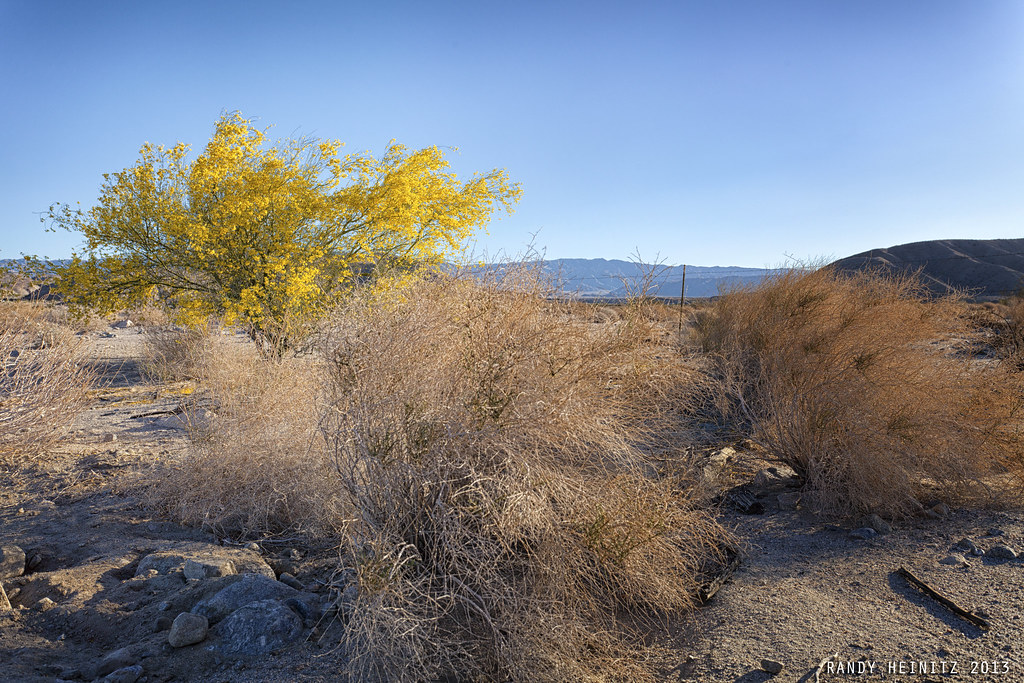 Willis Palms LoopHikingPhoto: Randy Heinitz, CC BY 2.0 (via Flickr)6.4 mi
Source: Roamze catalog (indexable pages within 10 miles, PostGIS distance)
Herman's HikeHiking · ~8 min drivePhoto: Martin Haeusler, CC BY-SA 3.0 (via Wikimedia Commons)Moon Country TrailHiking · ~9 min drivePhoto: Tom Hilton, CC BY 2.0 (via Flickr) Burnt Hill TrailHiking · ~15 min drivePhoto: dret, CC BY-SA 2.0 (via Flickr)
 Hidden Palms TrailHiking · ~12 min drivePhoto: Martin Haeusler, CC BY-SA 3.0 (via Wikimedia Commons)McCallum TrailHiking · ~11 min drivePhoto: Martin Haeusler, CC BY-SA 3.0 (via Wikimedia Commons)Bigfoot TrailHiking · ~14 min drivePhoto: dret, CC BY-SA 2.0 (via Flickr)
Also worth it near here
 Quail MountainSummit · ~17 min drivePhoto: DouglasBear at English Wikipedia, Public domain (via Wikimedia Commons)
 Whitewater RiverCanoeing · ~21 min drivePhoto: Famartin, CC BY-SA 4.0 (via Wikimedia Commons)
Best months: November–March. Best months have typical highs of 55–85 °F, lows of 30 °F or warmer (32 °F where the station doesn't record snow), at most one snowy day and no more than 12 wet days.
Jan
71° / 48°
3 wet
Feb
74° / 50°
3 wet
Mar
81° / 54°
2 wet
Apr
87° / 59°
1 wet
May
95° / 66°
1 wet
Jun
104° / 73°
0 wet
Jul
109° / 79°
1 wet
Aug
108° / 80°
1 wet
Sep
102° / 74°
1 wet
Oct
91° / 65°
1 wet
Nov
79° / 53°
1 wet
Dec
69° / 46°
3 wet
Typical high / low (°F) and days with rain or snow, 1991–2020. Measured at Palm Springs Rgnl Ap, CA, 9.6 mi away at 421 ft. The station sits about 800 ft lower than this place, so expect it a little cooler here. This station doesn't record snowfall. Source: NOAA NCEI U.S. Climate Normals 1991–2020.
Map and trail data © OpenStreetMap contributors
