KOA San Francisco North (Petaluma)
Campground
Campground · 5.6 mi from the trail
Creek Trail is a short, easy out-and-back hike in the Crane Creek area of California, on county land. The route covers about 1.7 miles, with a total elevation gain of 170 feet from the trail's low point at 268 feet to its high point at 365 feet. The climb is front-loaded, with the steepest stretch at about 0.15 miles into the hike, where the grade reaches about 5%. The trail is an easy option for a quick outing, and the whole trip takes about half an hour. Late spring and early fall are the most comfortable times to go. Typical averages from a nearby weather station in Santa Rosa show May highs around 74°F and October highs near 79°F, with only a few wet days in each month. Winter brings more frequent rain, with highs in the low 60s. Fiddleneck Trail and Poppy Trail both lie about half a mile away, and Hinebaugh Creek Bike Trail is about a mile off. For paddling, Sonoma Creek is roughly 7 miles away.
KOA San Francisco North (Petaluma)
Campground
 If it rainsWulfnoth of English Wikipedia, CC BY 3.0 · Wikimedia Commons
Places © OpenStreetMap contributors, Places © Overture Maps Foundation · Photos: Wulfnoth of English Wikipedia, CC BY 3.0 (commons)
More in TemelecNot on Roamze yet. Their page has how to reach them.
 Santa Rosa CreekCanoeingPhoto: Covalent at en.wikipedia, CC BY-SA 3.0 (via Wikimedia Commons)7.8 mi
Source: Roamze catalog (indexable pages within 10 miles, PostGIS distance)
 Sky Lupine TrailHiking · ~6 min drivePhoto: Roebot, CC BY-SA 2.0 (via Flickr)Colgan Highlands LoopHiking · ~7 min drivePhoto: Roebot, CC BY-SA 2.0 (via Flickr)Upper Colgan Creek TrailHiking · ~7 min drivePhoto: Roebot, CC BY-SA 2.0 (via Flickr)Redtail TrailHiking · ~7 min drivePhoto: Roebot, CC BY-SA 2.0 (via Flickr)
 Cowan Meadow TrailHiking · ~8 min drivePhoto: Richard Wood, CC BY-SA 3.0 (via Wikimedia Commons)
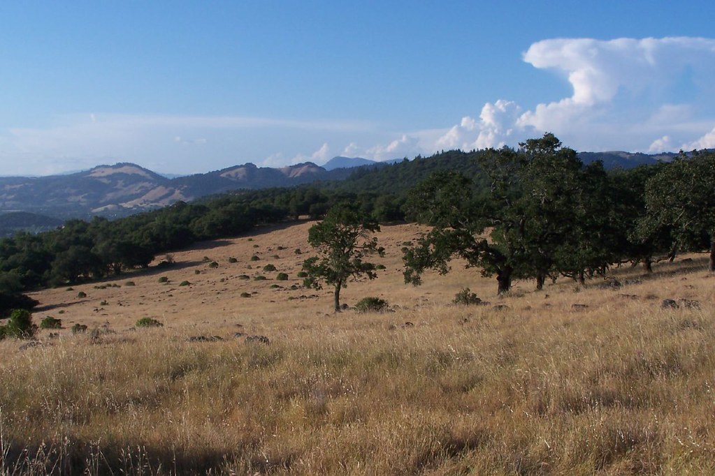 Happy TrailHiking · ~8 min drivePhoto: ((brian)), CC BY 2.0 (via Flickr)Canyon TrailHiking · ~9 min drivePhoto: ((brian)), CC BY 2.0 (via Flickr)
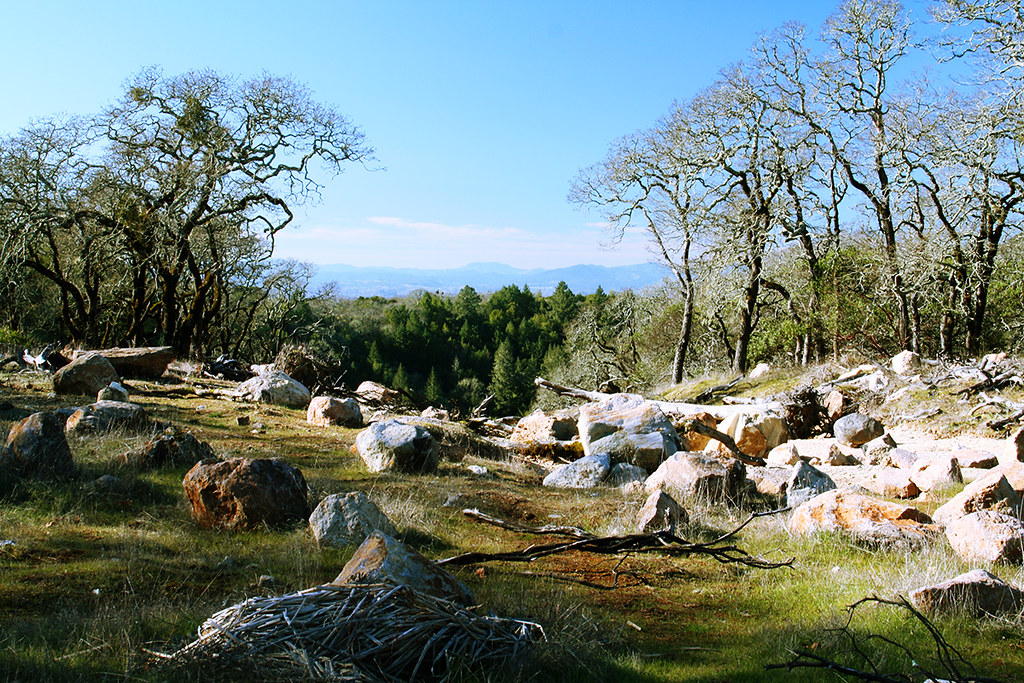 Spring Creek TrailHiking · ~9 min drivePhoto: Mike Disharoon, CC BY-SA 2.0 (via Flickr)
 East Slope Sonoma Mountain Ridge TrailHiking · ~9 min drivePhoto: sarahstierch, Public Domain Dedication (CC0) (via Flickr)
Best months: March–November. Best months have typical highs of 55–85 °F, lows of 30 °F or warmer (32 °F where the station doesn't record snow), at most one snowy day and no more than 12 wet days.
Jan
60° / 38°
14 wet
Feb
64° / 40°
13 wet
Mar
67° / 42°
12 wet
Apr
71° / 44°
8 wet
May
74° / 48°
5 wet
Jun
80° / 51°
2 wet
Jul
82° / 52°
0 wet
Aug
83° / 52°
1 wet
Sep
84° / 51°
1 wet
Oct
79° / 48°
4 wet
Nov
67° / 42°
9 wet
Dec
59° / 38°
13 wet
Typical high / low (°F) and days with rain or snow, 1991–2020. Measured at Santa Rosa, CA, 8 mi away at 166 ft. Source: NOAA NCEI U.S. Climate Normals 1991–2020.
Map and trail data © OpenStreetMap contributors

