Creek Trail - 1.1 mi
- 1.1 mi
- round trip
- 396 ft
- climb
- 1,451 ft
- high point
- Out and back
- route
- Feb–Jun, Sep–Dec
- best months
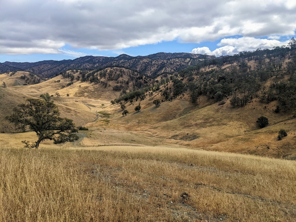
Creek Trail - 1.1 mi is an easy, short hike in California, about 3.5 miles from the town of Hidden Valley Lake. The route is an out-and-back that covers roughly 2.2 miles round trip, with a total elevation gain of 396 feet and a high point of 1,451 feet. The climb is rolling, and the steepest part comes around the halfway mark, where the grade reaches about 6%. Spring and fall are the most comfortable times to go. Typical averages from a nearby weather station in Clearlake show May highs around 73°F and October highs around 75°F, while July and August average about 91°F. The station sits a few feet lower than the trail's high point, so temperatures on the ridge run slightly cooler. The trip takes about an hour, and the trail makes an easy pairing with other hikes in the area. Else's Valley Trail - 0.9 mi is under a mile away, Kaj's Winery Trail - 2.7 mi is about a mile off, and Homestead Trail is roughly 1.2 miles away. Anderson Flats Trail is about 5.6 miles away for a longer outing.
- Else's Valley Trail - 0.9 miHiking0.8 mi
- Kaj's Winery Trail - 2.7 miHiking1 mi
- Homestead TrailHiking1.2 mi
- Anderson Flats TrailHiking5.6 mi
- Marsh TrailHiking5.7 mi
- Cache Creek Nature TrailHiking5.8 mi
- Ridge TrailHiking6.1 mi
- McVicar TrailHiking6.3 mi
Source: Roamze catalog (indexable pages within 10 miles, PostGIS distance)
 Brushy Sky High TrailHiking · ~14 min drivePhoto: string_bass_dave, CC BY-SA 2.0 (via Flickr)
 Brophy Canyon to Bear Creek TrailHiking · ~20 min drivePhoto: Jesse Wagstaff, CC BY 2.0 (via Flickr)
- Dunfield Spring Cutoff TrailHiking · ~21 min drivePhoto: Jesse Wagstaff, CC BY 2.0 (via Flickr)
 Mount Saint Helena TrailHiking · ~24 min drivePhoto: regexman, CC BY 2.0 (via Flickr)
- Redbud TrailHiking · ~14 min drivePhoto: string_bass_dave, CC BY-SA 2.0 (via Flickr)
- 3 Ponds TrailHiking · ~21 min drivePhoto: Jesse Wagstaff, CC BY 2.0 (via Flickr)
 Brophy Canyon TrailHiking · ~21 min drivePhoto: Jesse Wagstaff, CC BY 2.0 (via Flickr)
- Cache Creek Ridge TrailHiking · ~19 min drive
 Frog Pond TrailHiking · ~22 min drivePhoto: Franco Folini from San Francisco, USA, CC BY-SA 2.0 (via Wikimedia Commons)
- Ridge SpurHiking · ~21 min drivePhoto: Jesse Wagstaff, CC BY 2.0 (via Flickr)
Best time to visit Creek Trail - 1.1 mi
Best months: February–June and September–December. Best months have typical highs of 55–85 °F, lows of 30 °F or warmer (32 °F where the station doesn't record snow), at most one snowy day and no more than 12 wet days.
Jan
55° / 33°
13 wet
Feb
58° / 34°
12 wet
Mar
62° / 35°
11 wet
Apr
66° / 39°
8 wet
May
73° / 45°
5 wet
Jun
83° / 52°
2 wet
Jul
91° / 56°
0 wet
Aug
91° / 54°
0 wet
Sep
85° / 50°
1 wet
Oct
75° / 43°
4 wet
Nov
63° / 36°
9 wet
Dec
55° / 33°
12 wet
Typical high / low (°F) and days with rain or snow, 1991–2020. Measured at Clearlake 4 Se, CA, 4.6 mi away at 1,349 ft. Source: NOAA NCEI U.S. Climate Normals 1991–2020.

Map and trail data © OpenStreetMap contributors
