Cow Trail
 Photo: GSEC, CC BY 2.0 (via Flickr)
- 1.4 mi
- round trip
- 351 ft
- climb
- 7,743 ft
- high point
- Out and back
- route
- Jun–Aug
- best months
Cow Trail is a 2.86-mile out-and-back hike in California with 351 feet of elevation gain and loss. The trail reaches a maximum elevation of 7,743 feet.
Local outfitters
- Mammoth Lakes Pack Outfit41 mi away
Not on Roamze yet. Their page has how to reach them.
- East Walker RiverRiver fishing7.4 mi
- Crags CampgroundCamping9 mi
- East Lower Virginia CreekCamping9.2 mi
- Spring TrailHiking9.2 mi
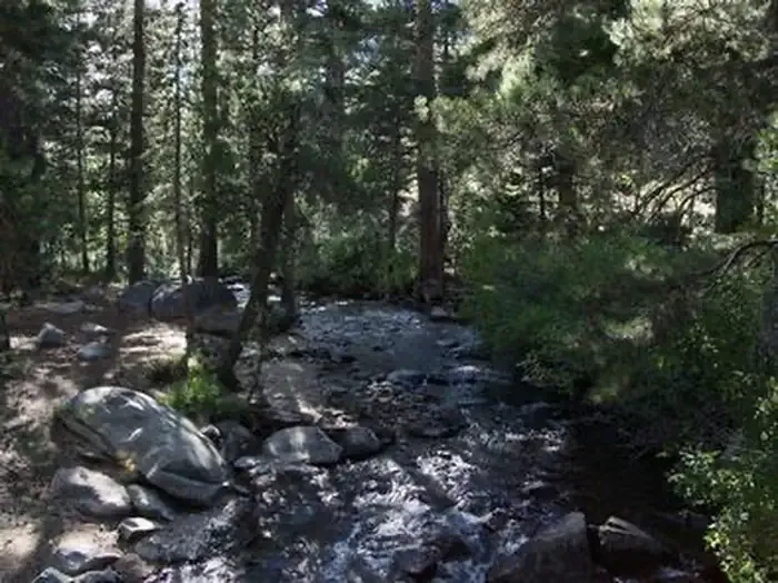 Green Creek GroupCampingPhoto: Recreation.gov (RIDB) / public domain9.3 mi
 Kavanaugh Ridge TrailHikingPhoto: RuggyBearLA, CC BY 2.0 (via Flickr)9.3 mi
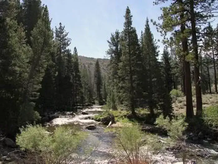 Robinson Creek SouthCampingPhoto: Recreation.gov (RIDB) / public domain9.7 mi
- Mount Jackson RouteHiking9.7 mi
Source: Roamze catalog (indexable pages within 10 miles, PostGIS distance)
- Kavanaugh Ridge TrailHiking · ~16 min drivePhoto: RuggyBearLA, CC BY 2.0 (via Flickr)
 VIRGINIA LAKE SPURHiking · ~16 min drivePhoto: GSEC, CC BY 2.0 (via Flickr)
 HORSE-CATTLE CREEKHiking · ~20 min drivePhoto: Tom Hilton, CC BY 2.0 (via Flickr)
 Horse & Cattle Creek TrailHiking · ~23 min drivePhoto: scorpio-tiger, CC BY-SA 2.0 (via Flickr)
 TamarackHiking · ~17 min drivePhoto: donjd2, CC BY 2.0 (via Flickr)
 Tamarack TrailHiking · ~17 min drivePhoto: GSEC, CC BY 2.0 (via Flickr)
 Yaney Canyon RouteHiking · ~20 min drivePhoto: Kurt Minard, CC BY-SA 3.0 (via Wikimedia Commons)
 YANEY CANYONHiking · ~19 min drivePhoto: Kurt Minard, CC BY-SA 3.0 (via Wikimedia Commons)
 Cattle Creek RouteHiking · ~22 min drivePhoto: Jesse Wagstaff, CC BY 2.0 (via Flickr)
- Long Valley Creek RouteHiking · ~23 min drivePhoto: Kurt Minard, CC BY-SA 3.0 (via Wikimedia Commons)
Best time to visit Cow Trail
Best months: June–August. Best months have typical highs of 55–85 °F, lows of 30 °F or warmer (32 °F where the station doesn't record snow), at most one snowy day and no more than 12 wet days.
Jan
41° / 8°
7 wet
Feb
41° / 9°
7 wet
Mar
45° / 13°
6 wet
Apr
51° / 19°
5 wet
May
61° / 25°
5 wet
Jun
71° / 32°
4 wet
Jul
78° / 36°
4 wet
Aug
78° / 34°
3 wet
Sep
71° / 28°
2 wet
Oct
61° / 20°
3 wet
Nov
49° / 12°
5 wet
Dec
41° / 8°
7 wet
Typical high / low (°F) and days with rain or snow, 1991–2020. Measured at Bodie California St Historic P, CA, 7 mi away at 8,370 ft. The station sits about 600 ft higher than this place, so expect it a little warmer here. This station doesn't record snowfall. Source: NOAA NCEI U.S. Climate Normals 1991–2020.
Map and trail data © OpenStreetMap contributors
