F11
Campground
Campground · 0.6 mi from the trail
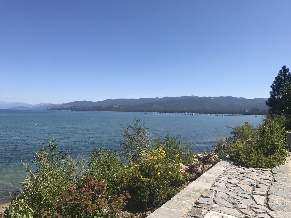 Photo: tjdee, CC BY 2.0 (via Flickr)
Closure in the area
There's a closure order in Lake Tahoe Basin Management Unit. It doesn't name College Trail, so check the source for the area it covers.
Harmful Algal Blooms
Agency closure covering Lake Tahoe Basin Management Unit · USFS · Lake Tahoe Basin Management Unit
Desolation Wilderness Food and Refuse Storage (Bear Canister) Restriction
Agency alert covering Lake Tahoe Basin Management Unit · Order 19-25-06 · USFS · Lake Tahoe Basin Management Unit
Meyers Landfill Area Closure
Agency alert covering Lake Tahoe Basin Management Unit · Order 19-25-01 · USFS · Lake Tahoe Basin Management Unit
Campfire Restrictions
Agency alert covering Lake Tahoe Basin Management Unit · Order 19-24-04 · USFS · Lake Tahoe Basin Management Unit
Camping/Overnight Stay Restriction
Agency alert covering Lake Tahoe Basin Management Unit · Order 19-24-05 · USFS · Lake Tahoe Basin Management Unit
As of · Source: USFS · Lake Tahoe Basin Management Unit. Agencies don't list every closure — check before you go.
College Trail is an easy 0.8-mile out-and-back hike in the Lake Tahoe Basin Management Unit, a national forest unit in California. The trail is short and low, with a total climb of about 210 feet, and it starts at roughly 6,270 feet. Summer is the most comfortable time to go. Typical averages from a nearby weather station at South Lake Tahoe show July and August highs around 80°F with lows in the low 40s and only about two wet days a month. Winter is much colder, with January highs in the low 40s and lows near 18°F. Nearby, the Al Tahoe Connector is about 1.3 miles away, and the Powerline Trail, a mountain biking route, is about 1.6 miles off. Lake Tahoe - South Shore offers fishing about 2.1 miles away, and Hope Valley campground is about 3.4 miles away.
F11
Campground
Sierra Pizza
Pizza restaurant
Places © OpenStreetMap contributors, Places © Overture Maps Foundation
More in Sunnyside-Tahoe CityNot on Roamze yet. Their page has how to reach them.
 Hope ValleyCampingPhoto: Recreation.gov (RIDB) / public domain3.4 mi
 Nevada Beach CampgroundCampingPhoto: Recreation.gov (RIDB) / public domain3.6 mi
Source: Roamze catalog (indexable pages within 10 miles, PostGIS distance)
 Lower Cold Creek TrailHiking · ~4 min drivePhoto: DaltonKat2, CC BY-SA 2.0 (via Flickr)Cold Creek TrailHiking · ~5 min drivePhoto: DaltonKat2, CC BY-SA 2.0 (via Flickr)
 Monument Pass TrailHiking · ~8 min drivePhoto: denverkid, CC BY 2.0 (via Flickr)
 Barn TrailHiking · ~4 min drivePhoto: inkknife_2000 (7.5 million views +), CC BY-SA 2.0 (via Wikimedia Commons)
 Camp Richardson Corral TrailsHiking · ~6 min drivePhoto: Ken Lund, CC BY-SA 2.0 (via Flickr)
 Tahoe Mountain Trail (South)Hiking · ~6 min drivePhoto: mlinksva, Public Domain Dedication (CC0) (via Flickr)
 Cal Neva LoopHiking · ~5 min drivePhoto: inkknife_2000 (7.5 million views +), CC BY-SA 2.0 (via Wikimedia Commons)
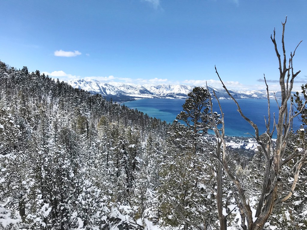 Van Sickle TrailHiking · ~8 min drivePhoto: jfdervin, CC BY-SA 2.0 (via Flickr)
 High School TrailHiking · ~7 min drivePhoto: mlinksva, Public Domain Dedication (CC0) (via Flickr)
 Truckee Marsh LoopHiking · ~5 min drivePhoto: inkknife_2000 (7.5 million views +), CC BY-SA 2.0 (via Wikimedia Commons)
Best months: May–September. Best months have typical highs of 55–85 °F, lows of 30 °F or warmer (32 °F where the station doesn't record snow), at most one snowy day and no more than 12 wet days.
Jan
43° / 18°
9 wet
Feb
43° / 19°
9 wet
Mar
48° / 24°
10 wet
Apr
53° / 28°
8 wet
May
62° / 33°
7 wet
Jun
72° / 38°
3 wet
Jul
80° / 43°
2 wet
Aug
80° / 41°
2 wet
Sep
73° / 35°
3 wet
Oct
62° / 29°
5 wet
Nov
51° / 23°
7 wet
Dec
43° / 18°
10 wet
Typical high / low (°F) and days with rain or snow, 1991–2020. Measured at South Lake Tahoe Ap, CA, 2.6 mi away at 6,314 ft. This station doesn't record snowfall. Source: NOAA NCEI U.S. Climate Normals 1991–2020.
Map and trail data © OpenStreetMap contributors

