Rose Valley
Campground
Sites open the weekend of Dec 4 on Recreation.gov
Alert in the area
The Forest Service lists 2 alerts for Los Padres National Forest.
Los Padres Fire Use and Firearm Restrictions
Agency alert covering Los Padres National Forest · Order 05-07-00-26-05 · USFS · Los Padres National Forest
Santa Barbara Front Country Fire Use Restrictions
Agency alert covering Los Padres National Forest · Order 05-07-5406-01 · USFS · Los Padres National Forest
As of · Source: USFS · Los Padres National Forest. Agencies don't list every closure — check before you go.
Chief Peak Trail is a short, out-and-back hike in the Ojai Ranger District of Los Padres National Forest in California, about 4.4 miles from the community of Howell Place. The trail is managed by the Forest Service and covers roughly a mile of ground, with a total elevation gain of about 580 feet from the trailhead at 5,110 feet to the high point at 5,472 feet. The climb is front-loaded, with the steepest stretch coming within the first 0.12 miles at a grade of about 29%. That makes the first part of the route the most demanding, and the trail is best suited to a quick outing rather than a long day on foot. The estimated time for the round trip is about half an hour. Chief Peak-South Face Trail lies about 0.6 miles away, and Rose Valley Falls and Rose Valley campground are both about 1.3 miles off. For an overnight stay, Middle Lion campground is about 2.4 miles away.
Rose Valley
Campground
History museum in Carpinteria, California
Places © OpenStreetMap contributors, Places © Overture Maps Foundation
More in CarpinteriaDaily highs and lows, wind and the chance of precipitation at the summit and route start for the next 7 days, from the Open-Meteo model.
 Sespe CreekCanoeingPhoto: Blackmb, CC BY-SA 3.0 (via Wikimedia Commons)3.8 mi
Source: Roamze catalog (indexable pages within 10 miles, PostGIS distance)
 Horn Canyon TrailHiking · ~6 min drivePhoto: Paula Lauren Gibson / AfroPixplg, CC BY-SA 4.0 (via Wikimedia Commons)
 Red Reef TrailHiking · ~6 min drivePhoto: Dana L. Brown, CC BY-SA 2.0 (via Flickr)
 Fox Canyon TrailHiking · ~9 min drivePhoto: Damian Gadal, CC BY 2.0 (via Flickr)
 Last Chance TrailHiking · ~14 min drivePhoto: Dana L. Brown, CC BY-SA 2.0 (via Flickr)Horn Canyon Access TrailHiking · ~6 min drivePhoto: Paula Lauren Gibson / AfroPixplg, CC BY-SA 4.0 (via Wikimedia Commons)
 Middle SespeHiking · ~9 min drivePhoto: Roger Sylvia, CC BY-SA 3.0 (via Wikimedia Commons)
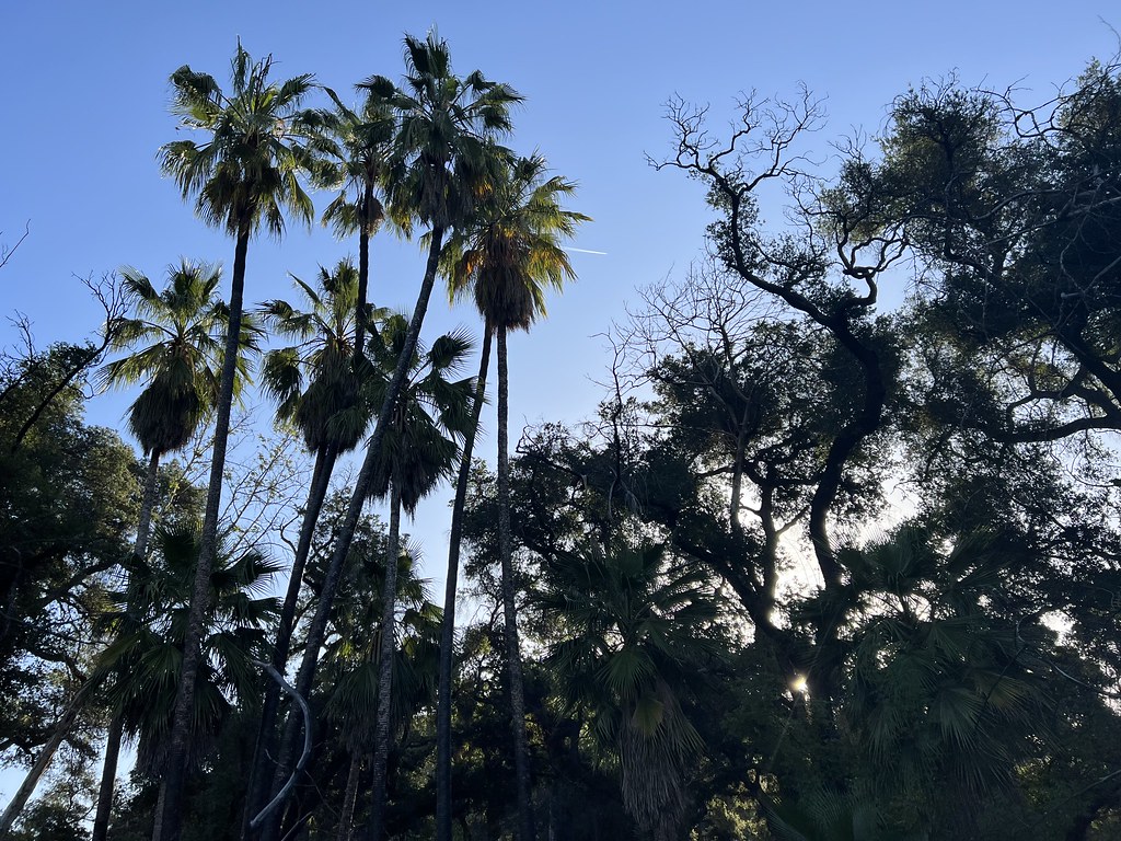 Santa Paula Canyon TrailHiking · ~13 min drivePhoto: Dana L. Brown, CC BY-SA 2.0 (via Flickr)
 Wheeler Gorge NatureHiking · ~10 min drivePhoto: Roger Sylvia, CC BY-SA 3.0 (via Wikimedia Commons)
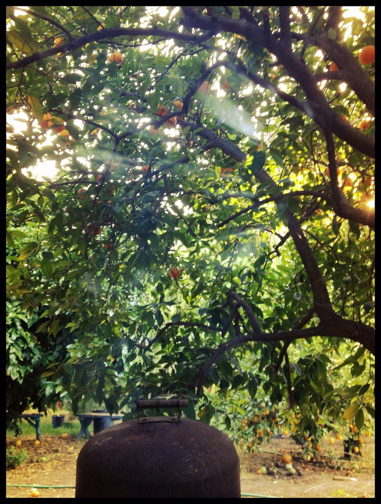 Foothill TrailHiking · ~9 min drivePhoto: Damian Gadal, CC BY 2.0 (via Flickr)
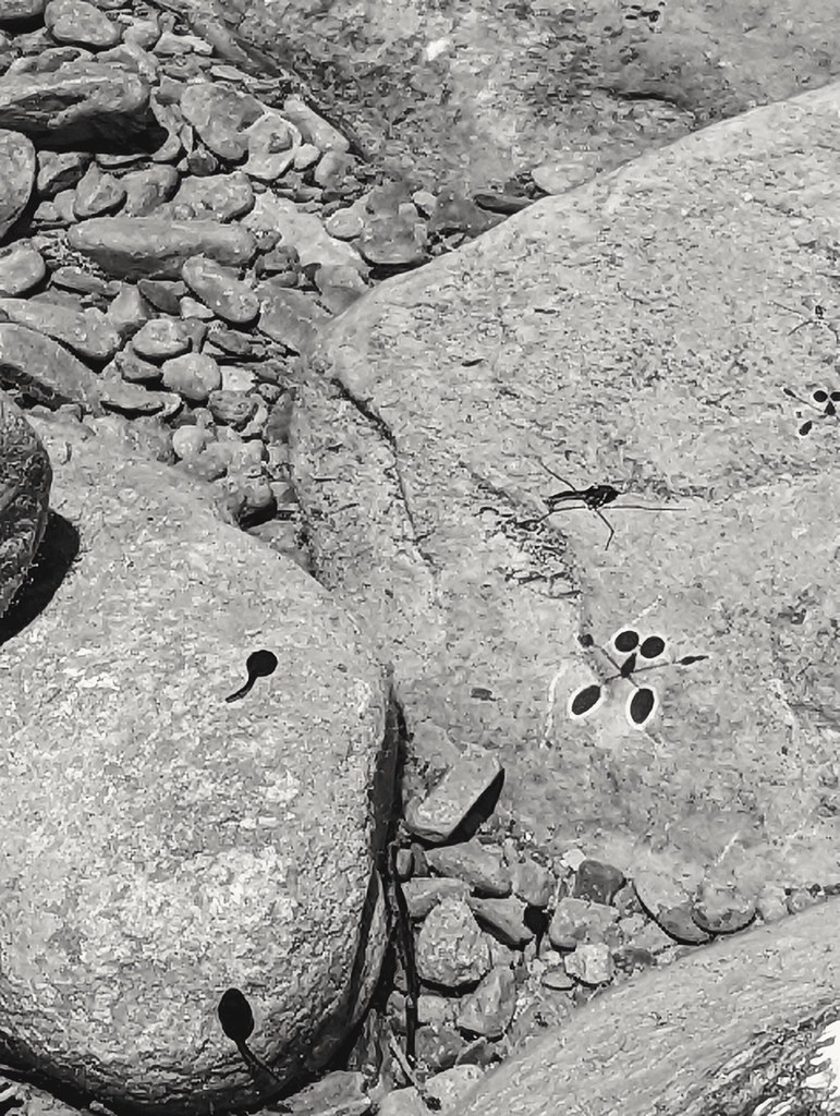 Kennedy Ridge TrailHiking · ~14 min drivePhoto: leighklotz, CC BY 2.0 (via Flickr)
About 0.5 mi round trip.
About 580 ft of climbing round trip.
It is rated easy.
About 0.5 hours round trip.
2: Chief Peak-South Face Trail and Chief Peak Trail.
Map and trail data © OpenStreetMap contributors

