White Ledge Campground
Campground
Campground · 0.5 mi from the trail
 Photo: Dana L. Brown, CC BY-SA 2.0 (via Flickr)
Alert in the area
The Forest Service lists 2 alerts for Los Padres National Forest.
Los Padres Fire Use and Firearm Restrictions
Agency alert covering Los Padres National Forest · Order 05-07-00-26-05 · USFS · Los Padres National Forest
Santa Barbara Front Country Fire Use Restrictions
Agency alert covering Los Padres National Forest · Order 05-07-5406-01 · USFS · Los Padres National Forest
As of · Source: USFS · Los Padres National Forest. Agencies don't list every closure — check before you go.
Red Reef Trail is a hard hike on the Ojai Ranger District of Los Padres National Forest in California, managed by the Forest Service. The out-and-back route is about 5.5 miles long, with the high point at 5,240 feet. The trail starts at about 3,323 feet, and the climb is front-loaded, with the steepest stretch around mile 1.8, where the grade reaches 28%. The total elevation gain is 2,793 feet, and the trail is rated hard. Spring and fall are the most comfortable times to go. Typical averages from a nearby weather station at Sandberg, which sits about 730 feet lower than the trail, show May highs around 70°F and October highs around 71°F, with fewer wet days than winter. July and August average highs near 88°F. The hike takes about 3 hours. Two other hikes, Lion Canyon and Horn Canyon, are each about 1.4 miles away. For paddling, Santa Paula Creek and Sespe Creek are both within about 5 miles.
White Ledge Campground
Campground
 If it rainsFettlemap, CC BY-SA 3.0 · Wikimedia Commons
Places © OpenStreetMap contributors · Photos: Fettlemap, CC BY-SA 3.0 (commons)
More in Moorpark Sespe CreekCanoeingPhoto: Blackmb, CC BY-SA 3.0 (via Wikimedia Commons)4.7 mi
Source: Roamze catalog (indexable pages within 10 miles, PostGIS distance)
 Horn Canyon TrailHiking · ~6 min drivePhoto: Paula Lauren Gibson / AfroPixplg, CC BY-SA 4.0 (via Wikimedia Commons)
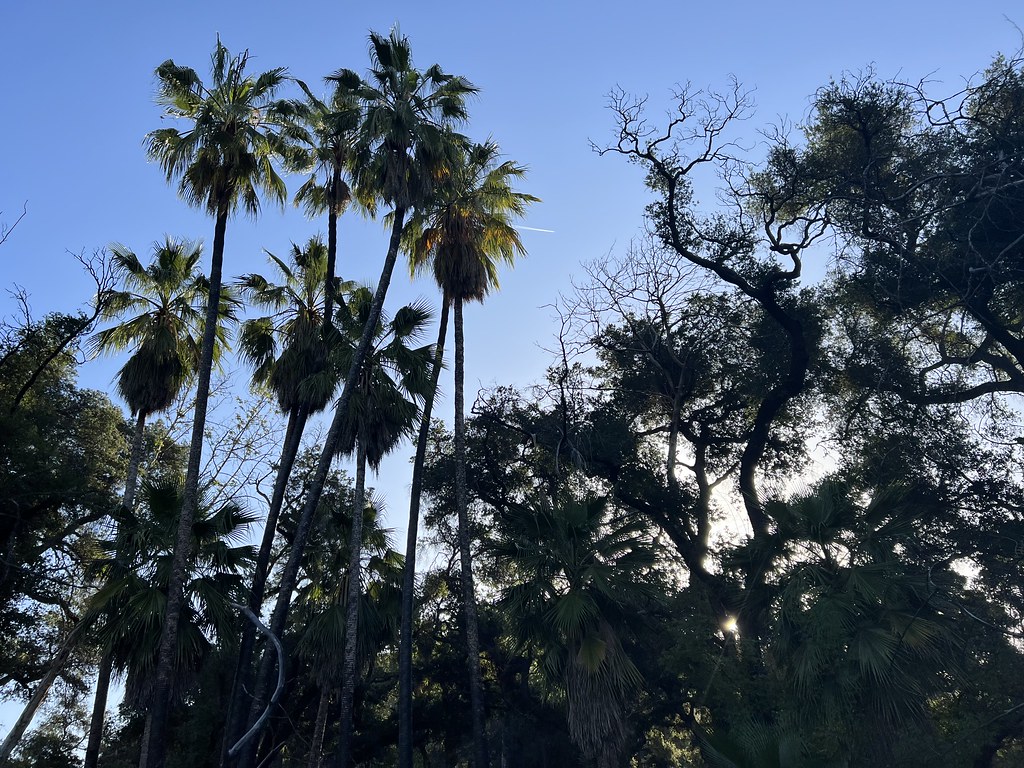 Santa Paula Canyon TrailHiking · ~7 min drivePhoto: Dana L. Brown, CC BY-SA 2.0 (via Flickr)
 Last Chance TrailHiking · ~8 min drivePhoto: Dana L. Brown, CC BY-SA 2.0 (via Flickr)
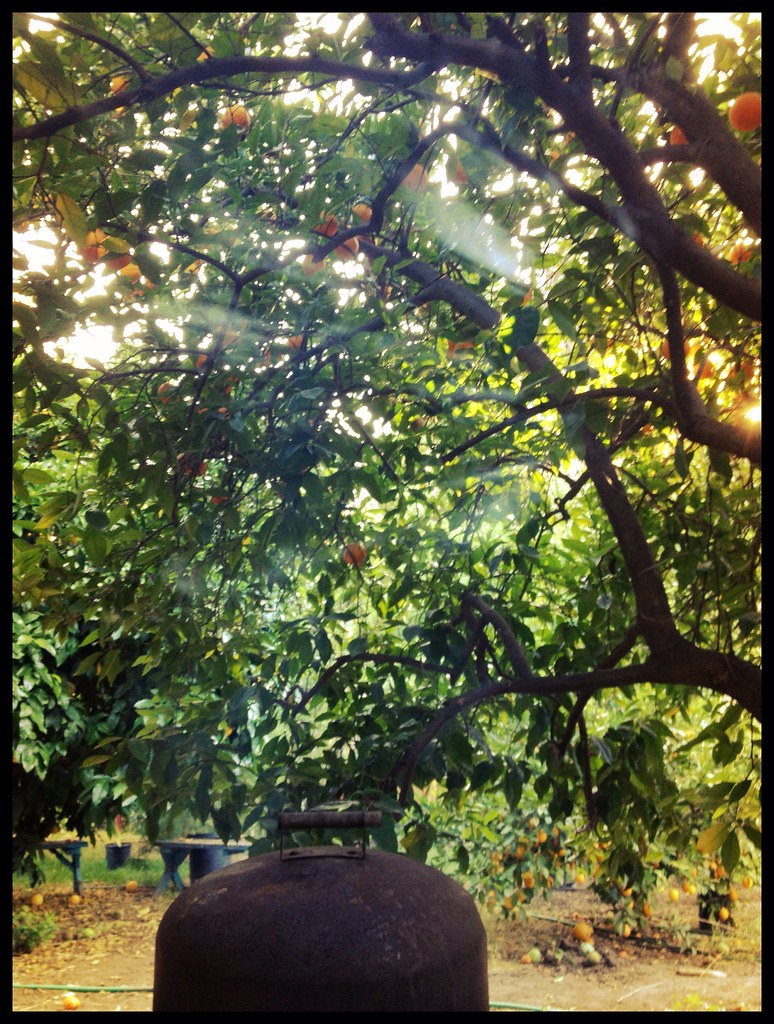 Foothill TrailHiking · ~12 min drivePhoto: Damian Gadal, CC BY 2.0 (via Flickr)Horn Canyon Access TrailHiking · ~6 min drivePhoto: Paula Lauren Gibson / AfroPixplg, CC BY-SA 4.0 (via Wikimedia Commons)
 Fox Canyon TrailHiking · ~12 min drivePhoto: Damian Gadal, CC BY 2.0 (via Flickr)
 Middle SespeHiking · ~15 min drivePhoto: Roger Sylvia, CC BY-SA 3.0 (via Wikimedia Commons)East Fork TrailHiking · ~6 min drivePhoto: Dana L. Brown, CC BY-SA 2.0 (via Flickr)Howard CreekHiking · ~12 min drivePhoto: Roger Sylvia, CC BY-SA 3.0 (via Wikimedia Commons)
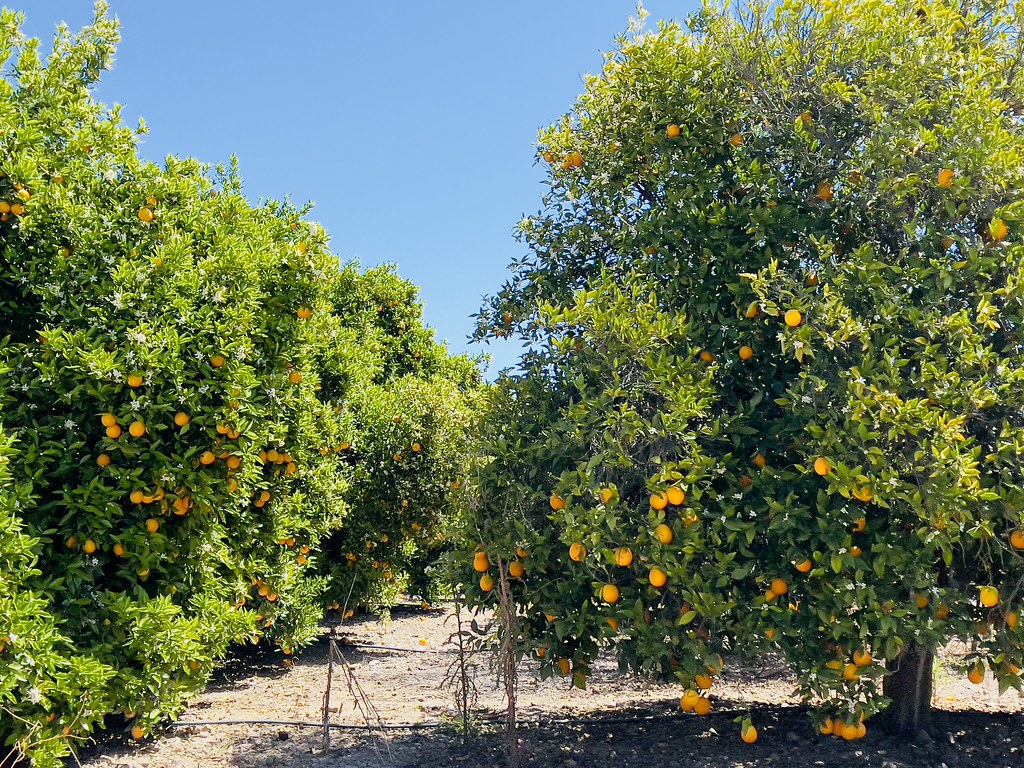 GridleyHiking · ~10 min drivePhoto: Dana L. Brown, CC BY-SA 2.0 (via Flickr)
Best months: March–June and September–November. Best months have typical highs of 55–85 °F, lows of 30 °F or warmer (32 °F where the station doesn't record snow), at most one snowy day and no more than 12 wet days.
Jan
52° / 39°
7 wet
Feb
53° / 38°
8 wet
Mar
57° / 41°
7 wet
Apr
62° / 43°
5 wet
May
70° / 49°
3 wet
Jun
80° / 58°
1 wet
Jul
88° / 65°
1 wet
Aug
88° / 65°
1 wet
Sep
83° / 61°
1 wet
Oct
71° / 52°
2 wet
Nov
60° / 44°
4 wet
Dec
52° / 38°
6 wet
Typical high / low (°F) and days with rain or snow, 1991–2020. Measured at Sandberg, CA, 29.2 mi away at 4,510 ft. The station sits about 700 ft lower than this place, so expect it a little cooler here. This station doesn't record snowfall. Source: NOAA NCEI U.S. Climate Normals 1991–2020.
Map and trail data © OpenStreetMap contributors

