Loading…

Free — you'll pick up right here.
Watch this trail
Sign up to watch it — saving subscribes you to gate, closure and report changes.
California
554 ft
Gain
We won't guess. Here is exactly what we do and don't know.
What we do know
Inside Santa Monica Mountains National Recreation Area
National Park unit boundary is mapped — agency alerts for it feed this page automatically.
Boundary data
What's missing
No access route mapped
We don't yet know which road reaches this trailhead, so we can't tell you if it's gated.
Nobody's filed a report here yet — be the first.
Why you'll love it
Cheeseboro/Palo Comado Canyon
AI-suggested draft · review before you go
No permit or access details on file for this trail — check with the local land manager before you go.
<p>The gently rounded hills and canyons of Cheeseboro and Palo Comado are older than the steeper, more recently formed Santa Monica Mountains and provide popular terrain for hikers, bikers, and equestrians.</p> <p>For over 150 years, ranchers made these canyons their home. Many of the native plants, poorly adapted to heavy grazing, were replaced with European annuals such as wild oats, mustard, and thistles. Despite numerous years of cattle grazing, we can still find a variety of native plant communities, including chaparral, coastal sage scrub, and riparian woodlands.</p> <p>You can stroll to Sulphur Springs or hike to the top of Simi Peak to view the cities you’ve left behind. Enjoy a picnic under the canopy of an oak or take binoculars to go birding. Oak trees and sedimentary rock areas provide excellent nesting sites for owls, hawks, and other raptors. Keep an eye out for deer, bobcats, coyotes, and rabbits.</p> <p><strong>Directions</strong><br /> 5792 Chesebro Road, Agoura, CA 91301<br /> <em>GPS Coordinates for main parking lot entrance: N 34.1543 W -118.7339</em><br /> Ventura Fwy (101) to Chesebro Rd exit. Turn north on Palo Comado Canyon Rd then right on Chesebro Rd. Go north 1 mile to park entrance. Turn right and follow road to parking lot.</p>
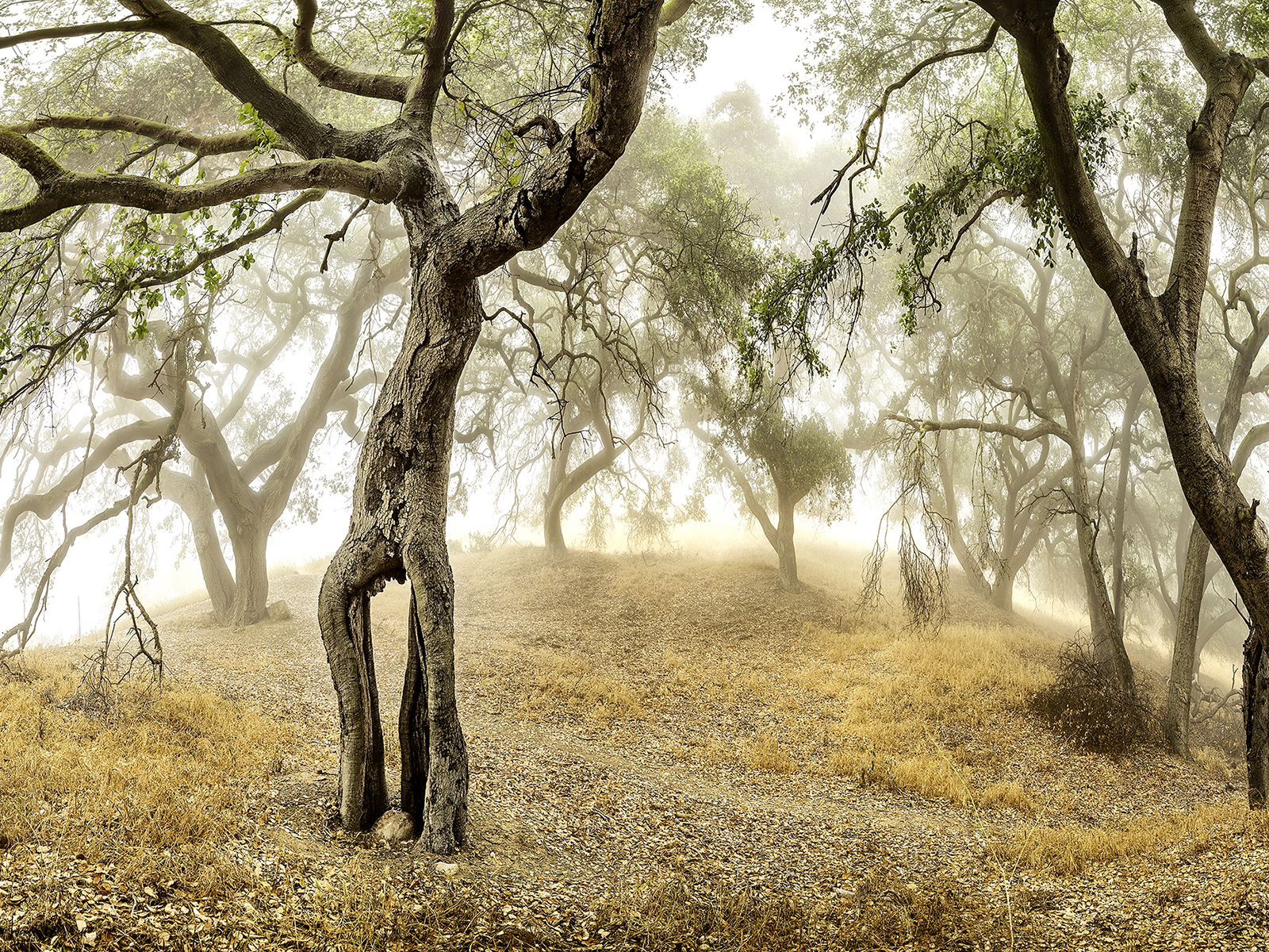
Rocky Oaks
~12 min drive
Hidden amid houses, roads, and other signs of modern life, Rocky Oaks features a seasonal human made pond and a variety of plant communities that provide habitat for wildlife. While taking a gentle hike along our loop trails, enjoy vistas of the pond. Once used as a watering…
Bear Divide Chapparal
~39 min drive
Steep chaparral climb with 1,621 ft gain in under 3 miles.
Pothole
~41 min drive
Moderate 6-mile hike with 2,363 ft gain and scenic California views.
Dagger Flats Trail
~44 min drive
Steady 4.25-mile climb to scenic flats with 1,727 ft elevation gain.
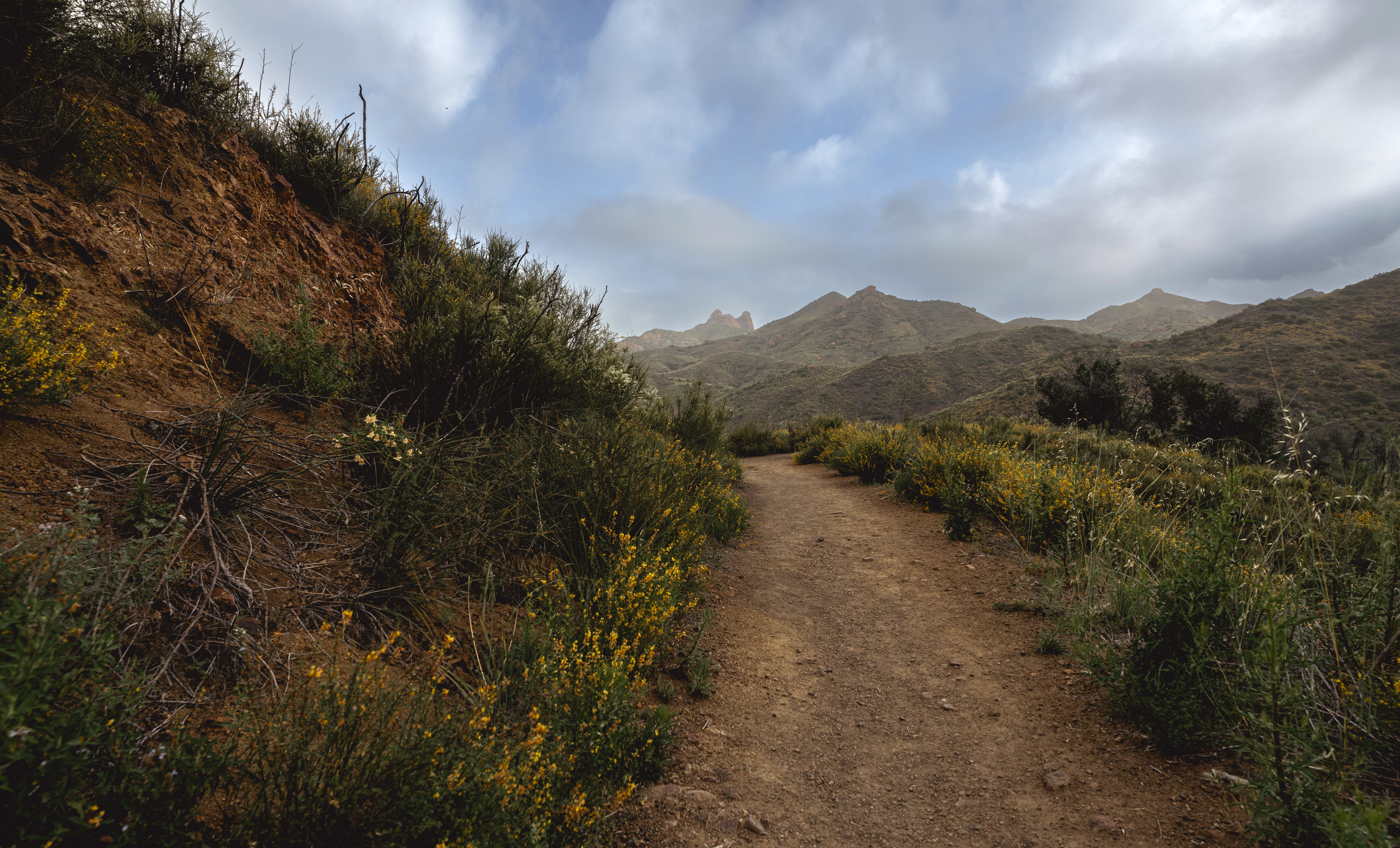
Zuma and Trancas Canyons
~15 min drive
Zuma! It is derived from the Chumash word for “abundance.” Certainly, Zuma and neighboring Trancas Canyons satisfy this description. The perennial streams running through these canyons give rise to an abundance of animal and plant life. These same natural resources have influe…
Ebey Canyon Trail
~42 min drive
Easy 1.84-mile canyon hike with 318 ft elevation gain.
Iron Canyon Trail
~41 min drive
Strenuous 12.19-mile canyon trail with 4,029 ft elevation gain.
Yerba Buena Trail
~50 min drive
Moderate 4.38-mile trail with 1,257 ft elevation gain and rewarding views.
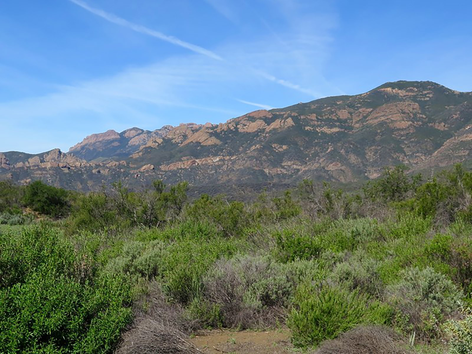
Arroyo Sequit
~19 min drive
Accessed from Mulholland Highway, Arroyo Sequit features an intermittent stream, a loop trail, and meadows that are blanketed with wildflowers in the Spring. Arroyo Sequit is a small site that may be easy to overlook, but provides for intimate, relaxing strolls. It is also a f…
Fascination Springs Trail
~42 min drive
Steep 2.61-mile trail with 1,374 ft gain and natural spring features.
