Rocky Trailer Village
Campground
Campground · 4.4 mi from the trail
Castle Peak Trail is a short out-and-back hike in California, about half a mile from the trailhead and roughly 2.3 miles from the community of Lakeside Park. The route is rated easy, and it takes about half an hour to complete. The trail climbs to a high point of 1,576 feet from a starting elevation of 1,576 feet, which makes it a loop rather than a climb up and down. The elevation gain is 647 feet for the round trip, with the steepest stretch at about 0.22 miles in, where the grade reaches 28 percent. That steepness is brief, so the hike stays manageable. Spring and fall are the most comfortable times to go. At a nearby weather station in Woodland Hills, typical averages run from highs around 70°F in January and 69°F in December to 78°F in April and 85°F in October. That station sits roughly 786 feet lower than the trail's high point, so temperatures on the trail run cooler. Several other trails start close by, including El Escorpion Trail, Somekh Trail and Pressman Trail, all within about half a mile. For climbing, Garden of the Gods lies about 6 miles away.
Rocky Trailer Village
Campground
 If it rainsLos Angeles, CC BY-SA 3.0 · Wikimedia Commons
Art environment in Simi Valley, California, United States
Places © OpenStreetMap contributors, Places © Overture Maps Foundation · Photos: Los Angeles, CC BY-SA 3.0 (commons)
More in Moorpark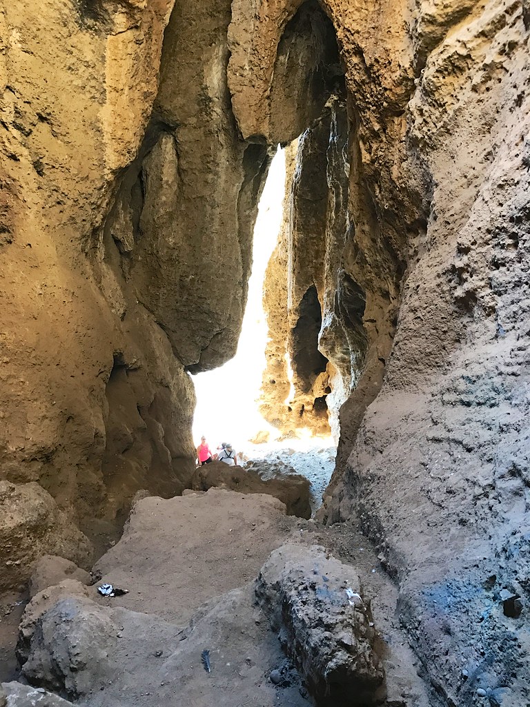 El Escorpion TrailHikingPhoto: daveynin, CC BY 2.0 (via Flickr)0.4 mi
 Hunter Allen TrailHikingPhoto: bzo, CC BY-SA 2.0 (via Flickr)1 mi
 Pile UpsRock climbingPhoto: Pintsmasher, CC BY 3.0 (via Wikimedia Commons)6 mi
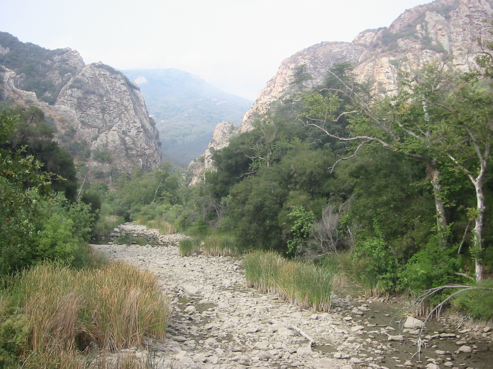 Malibu CreekCanoeingPhoto: Tobin/tobo, Rochester, NY, USA, CC BY-SA 2.0 (via Wikimedia Commons)8.6 mi
Source: Roamze catalog (indexable pages within 10 miles, PostGIS distance)
El Escorpion TrailHiking · Next doorPhoto: daveynin, CC BY 2.0 (via Flickr)Zig Zag TrailHiking · ~2 min drivePhoto: daveynin, CC BY 2.0 (via Flickr)Hunter Allen TrailHiking · ~2 min drivePhoto: bzo, CC BY-SA 2.0 (via Flickr)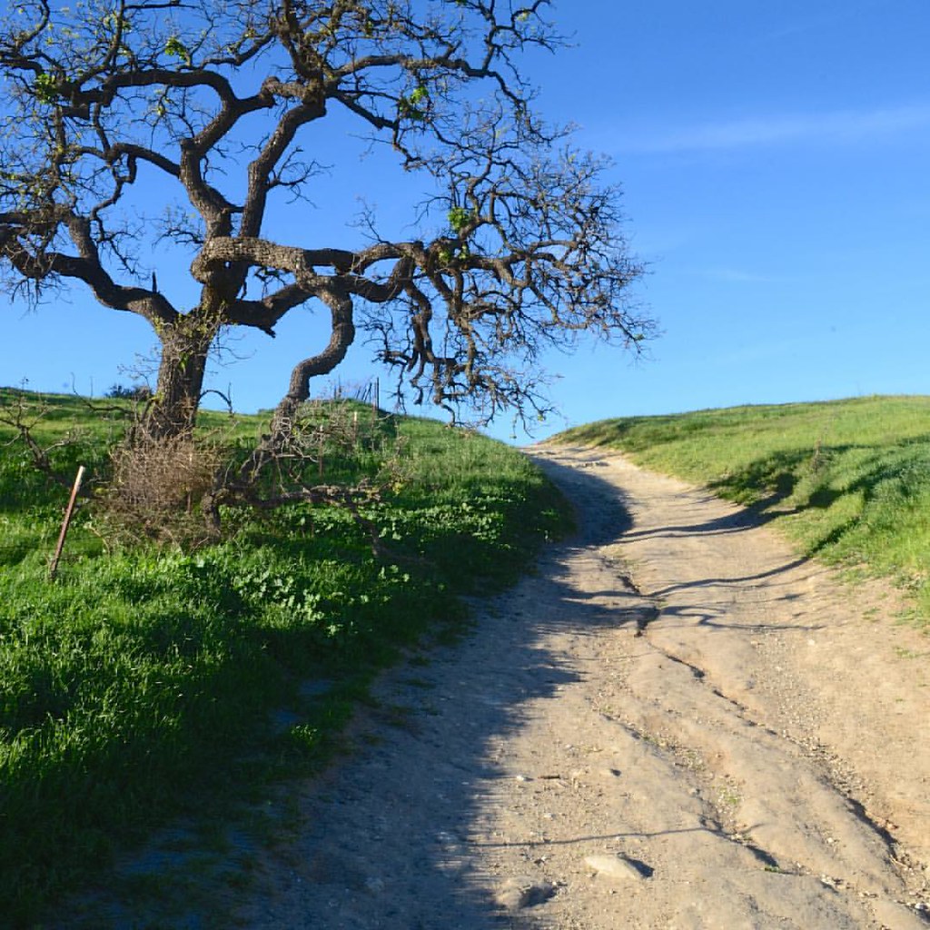 Upper Las Virgenes Canyon TrailHiking · ~4 min drivePhoto: Mad Peruvian Media, CC BY 2.0 (via Flickr)
 Ahmanson Ranch House TrailHiking · ~2 min drivePhoto: Mad Peruvian Media, CC BY 2.0 (via Flickr)Joe Behar TrailHiking · ~4 min drivePhoto: Mad Peruvian Media, CC BY 2.0 (via Flickr)TrailHiking · ~4 min drivePhoto: Mad Peruvian Media, CC BY 2.0 (via Flickr)
Best months: October–May. Best months have typical highs of 55–85 °F, lows of 30 °F or warmer (32 °F where the station doesn't record snow), at most one snowy day and no more than 12 wet days.
Jan
70° / 43°
6 wet
Feb
70° / 44°
7 wet
Mar
74° / 46°
6 wet
Apr
78° / 48°
3 wet
May
82° / 53°
1 wet
Jun
89° / 57°
0 wet
Jul
95° / 61°
0 wet
Aug
97° / 61°
0 wet
Sep
94° / 59°
1 wet
Oct
85° / 53°
2 wet
Nov
76° / 46°
3 wet
Dec
69° / 42°
6 wet
Typical high / low (°F) and days with rain or snow, 1991–2020. Measured at Woodland Hills Pierce College, CA, 5.6 mi away at 790 ft. The station sits about 800 ft lower than this place, so expect it a little cooler here. Source: NOAA NCEI U.S. Climate Normals 1991–2020.
Map and trail data © OpenStreetMap contributors
