Danish Creek Camp
Campground
Campground · 1.1 mi from the trail
The Carmel River Trail is a short, moderate hike that starts and ends near the same point, with a steady climb of about 1,400 feet over a 1.3-mile out-and-back route. The trail's low point sits at about 1,140 feet, and the high point reaches about 1,440 feet, with the steepest stretch coming within the first 0.14 miles at a grade of about 26%. The nearest town is Jamesburg, roughly 4.7 miles away. Late summer is the driest and warmest stretch, with typical highs around 80°F in August and September and almost no wet days in July and August, according to averages from a nearby weather station at Carmel Valley. That station sits about 960 feet lower, so temperatures on the trail run cooler than those figures. The hike takes about an hour to complete, and the trailhead is within a short drive of several other outings. Danish Creek and Rattlesnake Creek are both within about a mile, Big Pines is about 1.7 miles off, and the Carmel River trail lies about 2.3 miles away.
Danish Creek Camp
Campground
 If it rainsLordHarris at English Wikipedia, CC BY-SA 3.0 · Wikimedia Commons
Places © OpenStreetMap contributors, Places © Overture Maps Foundation · Photos: LordHarris at English Wikipedia, CC BY-SA 3.0 (commons)
More in GonzalesSource: Roamze catalog (indexable pages within 10 miles, PostGIS distance)
 Ventana Double ConeHiking · ~8 min drivePhoto: ilya_ktsn, CC BY 2.0 (via Flickr)
 Round Rock CampHiking · ~9 min drivePhoto: ilya_ktsn, CC BY 2.0 (via Flickr)
 Bear BasinHiking · ~12 min drivePhoto: yargeritaville, CC0 (via Wikimedia Commons)
 Black Cone TrailHiking · ~13 min drivePhoto: yargeritaville, CC0 (via Wikimedia Commons)
 Saddle TrailHiking · ~13 min drivePhoto: DeeAshley, CC BY 2.0 (via Flickr)
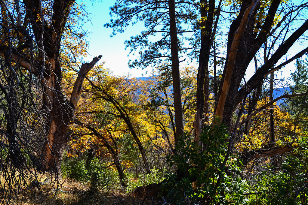 Comings CampHiking · ~10 min drivePhoto: ilya_ktsn, CC BY 2.0 (via Flickr)Bear Basin TrailHiking · ~12 min drivePhoto: yargeritaville, CC0 (via Wikimedia Commons)
 Skinner RidgeHiking · ~12 min drivePhoto: ilya_ktsn, CC BY 2.0 (via Flickr)
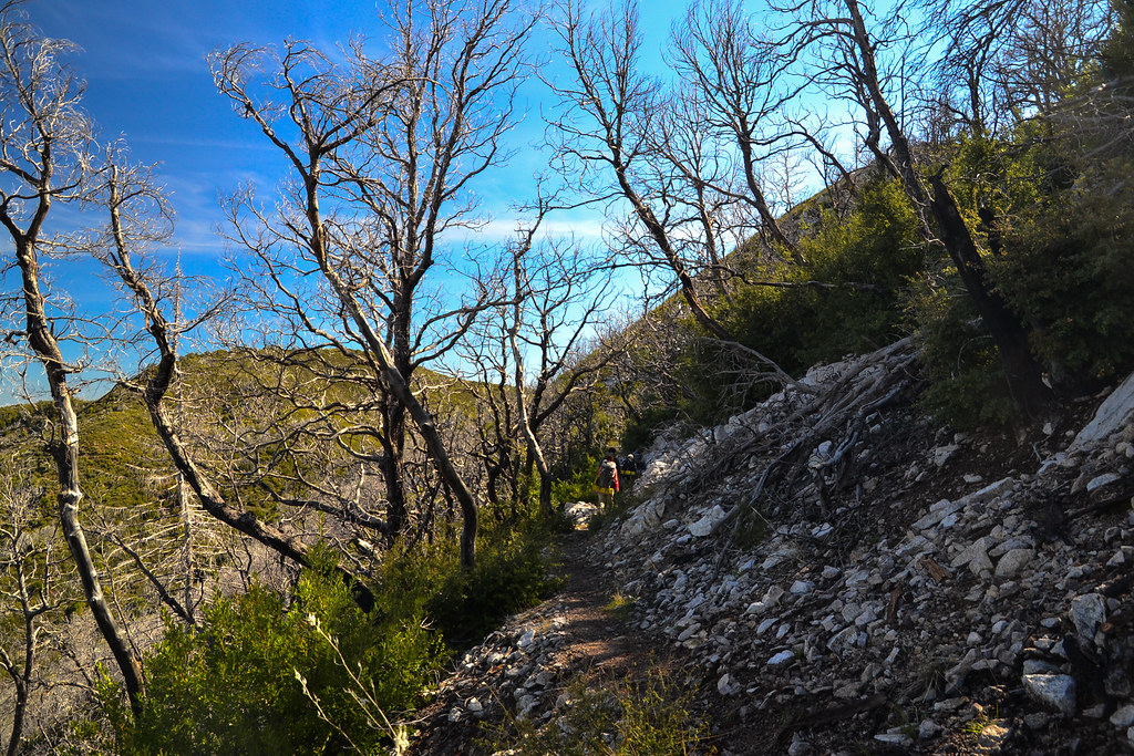 Bear Basin ConnectorHiking · ~12 min drivePhoto: ilya_ktsn, CC BY 2.0 (via Flickr)
 Ridge TrailHiking · ~13 min drivePhoto: Jason Hollinger, CC BY 2.0 (via Wikimedia Commons)
Best months: Year-round. Best months have typical highs of 55–85 °F, lows of 30 °F or warmer (32 °F where the station doesn't record snow), at most one snowy day and no more than 12 wet days.
Jan
63° / 40°
11 wet
Feb
64° / 41°
10 wet
Mar
67° / 41°
10 wet
Apr
69° / 43°
7 wet
May
71° / 46°
4 wet
Jun
76° / 48°
1 wet
Jul
78° / 51°
0 wet
Aug
80° / 51°
0 wet
Sep
81° / 51°
1 wet
Oct
78° / 48°
3 wet
Nov
69° / 42°
7 wet
Dec
63° / 40°
11 wet
Typical high / low (°F) and days with rain or snow, 1991–2020. Measured at Carmel Valley, CA, 7 mi away at 480 ft. The station sits about 1,000 ft lower than this place, so expect it a little cooler here. This station doesn't record snowfall. Source: NOAA NCEI U.S. Climate Normals 1991–2020.
Map and trail data © OpenStreetMap contributors


