Ruck-a-Chucky Campground
Campground
Campground · 6.8 mi from the trail
Canyon View Trail is a short, easy hike in Canyon View Preserve in California, a preserve managed by a non-governmental organization. The trail is about 0.4 miles long, and it rises from roughly 1,460 feet to about 1,567 feet, a total gain of 107 feet. The steepest part comes early, at about 0.12 miles in, where the grade reaches 15 percent. Spring and fall are the most comfortable times to go. Typical averages from a nearby weather station in Auburn show May and October highs around 77°F, while July and August average in the low 90s. That station sits about 275 feet lower than the trail, so temperatures on the trail run a little cooler. The hike takes about half an hour. Sierra Canyon Creek Trail starts just 0.1 mile away, and Clarks Hole Trail and Mossy Rock Trail are within about a mile. Climbers can find Tall Green Bridge about 1.2 miles off.
Ruck-a-Chucky Campground
Campground
Places © OpenStreetMap contributors, Places © Overture Maps Foundation
More in Nevada CityNot on Roamze yet. Their page has how to reach them.
 Clarks Hole TrailHikingPhoto: ray_explores, CC BY 2.0 (via Flickr)0.8 miMossy Rock TrailHikingPhoto: ray_explores, CC BY 2.0 (via Flickr)1 mi
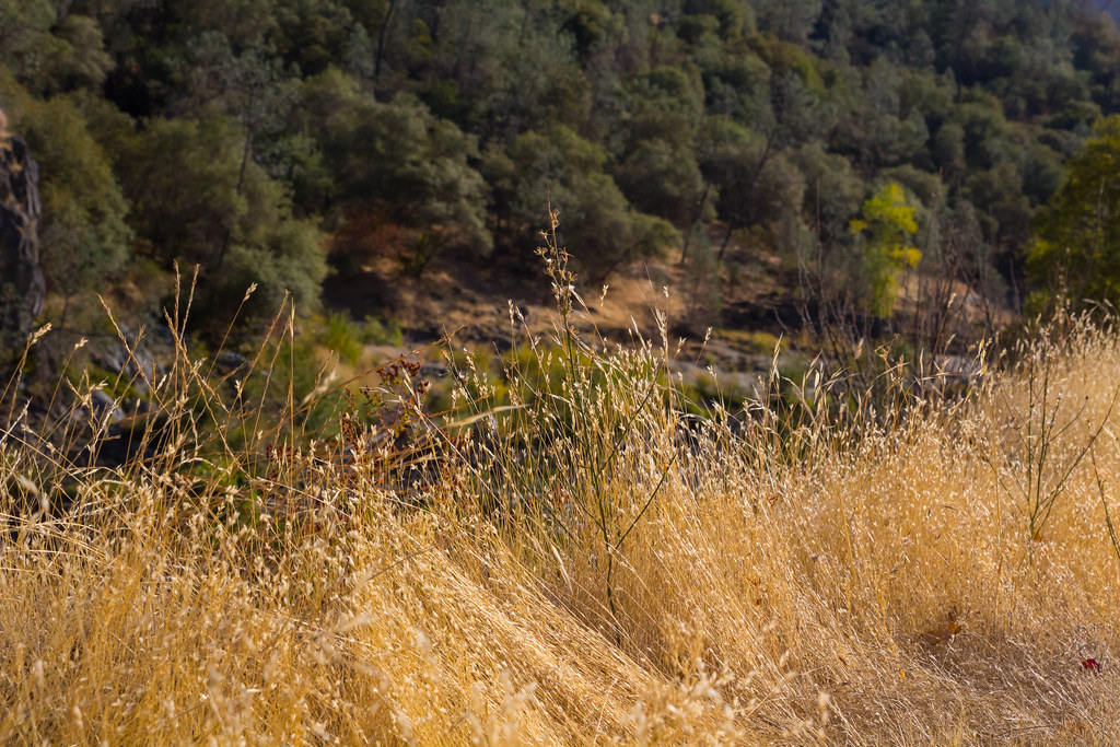 Fuel Break TrailHikingPhoto: lgilbert7, CC BY 2.0 (via Flickr)1.2 mi
Source: Roamze catalog (indexable pages within 10 miles, PostGIS distance)
Clarks Hole TrailHiking · ~1 min drivePhoto: ray_explores, CC BY 2.0 (via Flickr)Training Hill (Pointed Rocks) TrailHiking · ~2 min drivePhoto: ray_explores, CC BY 2.0 (via Flickr)Wendell T Robie TrailHiking · ~2 min drivePhoto: ray_explores, CC BY 2.0 (via Flickr)Mossy Rock TrailHiking · ~2 min drivePhoto: ray_explores, CC BY 2.0 (via Flickr) Manzanita TrailHiking · ~3 min drivePhoto: ray_explores, CC BY 2.0 (via Flickr)
 Stagecoach TrailHiking · ~2 min drivePhoto: ray_explores, CC BY 2.0 (via Flickr)Fuel Break TrailHiking · ~2 min drivePhoto: lgilbert7, CC BY 2.0 (via Flickr)
 Western States TrailHiking · ~3 min drivePhoto: ray_explores, CC BY 2.0 (via Flickr)
 Connector TrailHiking · ~4 min drivePhoto: Chris English, CC BY-SA 3.0 (via Wikimedia Commons)Upper Stage Coach TrailHiking · ~2 min drivePhoto: ray_explores, CC BY 2.0 (via Flickr)
Best months: October–May. Best months have typical highs of 55–85 °F, lows of 30 °F or warmer (32 °F where the station doesn't record snow), at most one snowy day and no more than 12 wet days.
Jan
56° / 38°
11 wet
Feb
59° / 40°
10 wet
Mar
63° / 42°
9 wet
Apr
68° / 45°
7 wet
May
77° / 52°
5 wet
Jun
86° / 58°
2 wet
Jul
93° / 63°
0 wet
Aug
92° / 63°
1 wet
Sep
87° / 60°
1 wet
Oct
77° / 52°
3 wet
Nov
64° / 43°
7 wet
Dec
56° / 37°
10 wet
Typical high / low (°F) and days with rain or snow, 1991–2020. Measured at Auburn, CA, 2.4 mi away at 1,292 ft. This station doesn't record snowfall. Source: NOAA NCEI U.S. Climate Normals 1991–2020.
Map and trail data © OpenStreetMap contributors
