Cameron Meadow Trail
- 1.2 mi
- round trip
- 509 ft
- climb
- 6,592 ft
- high point
- Out and back
- route
- May–Oct
- best months
Is Cameron Meadow Trail open right now?
Closure in the area
There's a closure order in Lassen Volcanic National Park. It doesn't name Cameron Meadow Trail, so check the source for the area it covers.
Lassen National Park Highway Closed to Vehicle Traffic
Park closure covering Lassen Volcanic National Park · NPS · Lassen Volcanic National Park
As of · Source: NPS · Lassen Volcanic National Park. Agencies don't list every closure — check before you go.
Cameron Meadow Trail is an easy out-and-back hike of about 2.4 miles in Lassen Volcanic National Park, California, within the Lassen Volcanic Wilderness. The trail starts at roughly 6,507 feet and reaches a high point of about 6,592 feet, with a total elevation gain of about 509 feet over the round trip. The steepest stretch comes at about 0.68 miles in, with a grade of about 6 percent. The trail is managed by the National Park Service. Summer is the most comfortable time to go. Typical July averages from a nearby weather station at Manzanita Lake run to highs near 79°F and lows around 46°F, and the station sits well below the trail, so temperatures on the route run cooler. Winter is cold, with typical January highs near 41°F and lows around 22°F. The hike takes about an hour to complete. The Juniper Lake To Butte Lake Trail lies about 1.1 miles away and the Horseshoe Lake Trail and Inspiration Point Trail are each about 1.3 miles off. Juniper Lake Group, a campground, is about 2.4 miles away.
- Juniper Lake To Butte Lake TrailHiking1.1 mi
- Horseshoe Lake TrailHiking1.3 mi
- Inspiration Point TrailHiking1.3 mi
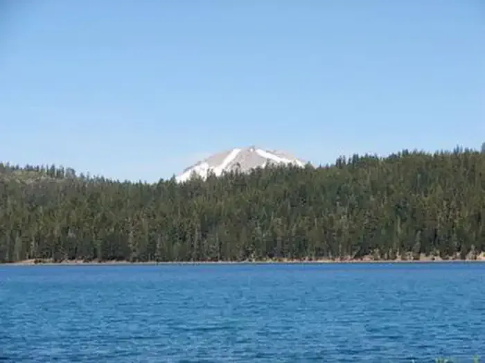 Juniper Lake GroupCampingPhoto: Recreation.gov (RIDB) / public domain2.4 mi
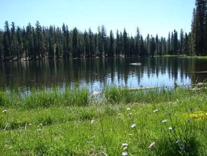 Juniper Lake Stock CorralCampingPhoto: Recreation.gov (RIDB) / public domain2.4 mi
 Butte LakeCampingPhoto: Recreation.gov (RIDB) / public domain5.5 mi
 The Fallout ZoneRock climbingPhoto: Ken Lund, CC BY-SA 2.0 (via Flickr)6.4 mi
- The Loading ZoneRock climbing6.4 mi
Source: Roamze catalog (indexable pages within 10 miles, PostGIS distance)
 Crystal Lake TrailHiking · ~4 min drivePhoto: ray_explores, CC BY 2.0 (via Flickr)
 Horseshoe Lake TrailHiking · ~5 min drivePhoto: inkknife_2000 (7.5 million views +), CC BY-SA 2.0 (via Wikimedia Commons)
 Butte Lake To Snag Lake TrailHiking · ~8 min drivePhoto: Vlad & Marina Butsky on Flickr, CC BY 2.0 (via Wikimedia Commons)
 Pacific Crest TrailHiking · ~9 min drivePhoto: inkknife_2000 (7.5 million views +), CC BY-SA 2.0 (via Wikimedia Commons)
- Warner Valley Day Use AreaHiking · ~10 min drive
 Grassy Swale TrailHiking · ~6 min drivePhoto: inkknife_2000 (7.5 million views +), CC BY-SA 2.0 (via Wikimedia Commons)
- Rainbow Lake TrailHiking · ~5 min drivePhoto: inkknife_2000 (7.5 million views +), CC BY-SA 2.0 (via Wikimedia Commons)
 Bear Lakes TrailHiking · ~9 min drivePhoto: inkknife_2000 (7.5 million views +), CC BY-SA 2.0 (via Wikimedia Commons)
- Drakesbad Guest RanchHiking · ~10 min drive
- Mount Harkness Fire LookoutHiking · ~6 min drive
Best time to visit Cameron Meadow Trail
Best months: May–October. Best months have typical highs of 55–85 °F, lows of 30 °F or warmer (32 °F where the station doesn't record snow), at most one snowy day and no more than 12 wet days.
Jan
41° / 22°
Feb
42° / 22°
Mar
46° / 24°
Apr
50° / 27°
May
61° / 35°
Jun
70° / 41°
Jul
79° / 46°
Aug
78° / 45°
Sep
72° / 41°
Oct
59° / 33°
Nov
47° / 26°
Dec
39° / 22°
Typical high / low (°F) and days with rain or snow, 1991–2020. Measured at Manzanita Lake, CA, 14.8 mi away at 5,750 ft. The station sits about 800 ft lower than this place, so expect it a little cooler here. This station doesn't record snowfall. Source: NOAA NCEI U.S. Climate Normals 1991–2020.

Map and trail data © OpenStreetMap contributors
