Pala RV Resort
Campground
Campground · 3.2 mi from the trail
Camelia View Trail is a short, easy loop in Wilderness Gardens Preserve, a county-managed preserve in California. The trail is about 0.7 miles long, with a total climb of about 92 feet, and it starts and ends at roughly 559 feet. The route is a steady loop, and the steepest part comes early, at about 0.05 miles in, with a grade of about 7 percent. Spring and fall are the most comfortable times to go. Typical averages from a nearby weather station in Vista show May highs around 71°F and October highs around 76°F, while July and August climb to the low 80s. Pond Loop is about 0.2 miles away, and Main Trail is about 0.6 miles away. Agua Tibia Creek, a paddling spot, is about 0.7 miles off. For an overnight stay, Dripping Springs Campground is about 8.5 miles away.
Pala RV Resort
Campground
 If it rainsAlan Islas, CC BY-SA 4.0 · Wikimedia Commons
Living-history museum in Vista, California
Places © OpenStreetMap contributors, Places © Overture Maps Foundation · Photos: Alan Islas, CC BY-SA 4.0 (commons)
More in FallbrookNot on Roamze yet. Their page has how to reach them.
 San Luis Rey RiverCanoeingPhoto: Michael Krehan, CC BY-SA 3.0 (via Wikimedia Commons)6.1 mi
Source: Roamze catalog (indexable pages within 10 miles, PostGIS distance)
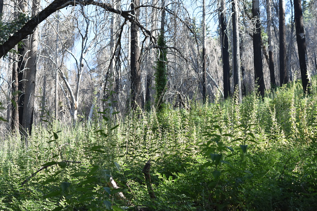 Upper Doane Valley TrailHiking · ~14 min drivePhoto: theforestprimeval, CC BY-SA 2.0 (via Flickr)
 Chimney Flats TrailHiking · ~15 min drivePhoto: theforestprimeval, CC BY-SA 2.0 (via Flickr)Use Trail (To Fry Creek)Hiking · ~15 min drivePhoto: theforestprimeval, CC BY-SA 2.0 (via Flickr)Fry CreekHiking · ~16 min drivePhoto: theforestprimeval, CC BY-SA 2.0 (via Flickr)
Best months: Year-round. Best months have typical highs of 55–85 °F, lows of 30 °F or warmer (32 °F where the station doesn't record snow), at most one snowy day and no more than 12 wet days.
Jan
66° / 46°
7 wet
Feb
65° / 46°
7 wet
Mar
67° / 48°
6 wet
Apr
69° / 50°
4 wet
May
71° / 55°
3 wet
Jun
74° / 58°
1 wet
Jul
79° / 62°
1 wet
Aug
81° / 63°
0 wet
Sep
80° / 61°
1 wet
Oct
76° / 56°
2 wet
Nov
71° / 50°
4 wet
Dec
65° / 45°
6 wet
Typical high / low (°F) and days with rain or snow, 1991–2020. Measured at Vista, CA, 13.8 mi away at 430 ft. This station doesn't record snowfall. Source: NOAA NCEI U.S. Climate Normals 1991–2020.
Map and trail data © OpenStreetMap contributors
