Bypass Trail
- 0.5 mi
- round trip
- 687 ft
- climb
- 554 ft
- high point
- Out and back
- route
- Feb–Nov
- best months
Bypass Trail is a short, easy out-and-back hike in Sonoma Coast State Park in California, managed by State Park and Recreation. The trail is about a mile long, with a total elevation gain of 687 feet, and it starts at roughly 525 feet, rising to a high point of 554 feet before returning to the start. The steepest stretch comes early on, around 0.28 miles in, with a grade of about 14 percent. Late spring and early fall are the most comfortable times to go. Typical averages from a nearby weather station in Occidental show May highs around 70°F and September highs around 77°F, with only a few wet days in each month. Winter brings highs in the mid-50s and about 12 to 13 wet days a month. The hike takes about half an hour. The Creekside Connector Trail and Creekside Trail both lie about 0.4 miles away, and the Blair Witch Trail is about 0.6 miles off. Climbers can head to Pomo Canyon, about 2.1 miles away.
Local outfitters
- Point Reyes Outdoors27 mi away
Not on Roamze yet. Their page has how to reach them.
- Creekside Connector TrailHiking0.4 mi
- Creekside TrailHiking0.4 mi
- Blair Witch TrailHiking0.6 mi
- Pomo CanyonRock climbing2.1 mi
 Super SlabRock climbingPhoto: Apuch, CC BY-SA 2.0 (via Flickr)6 mi
- Green Valley CreekCanoeing7.1 mi
- Sea CragRock climbing8.3 mi
- Russian Gulch CreekCanoeing8.3 mi
Source: Roamze catalog (indexable pages within 10 miles, PostGIS distance)
 West Panties Trail / West Sound of MusicHiking · ~1 min drivePhoto: Stepheng3, Public domain (via Wikimedia Commons)
 Upper Old Barn TrailHiking · ~2 min drivePhoto: Alex, CC0 (via Wikimedia Commons)
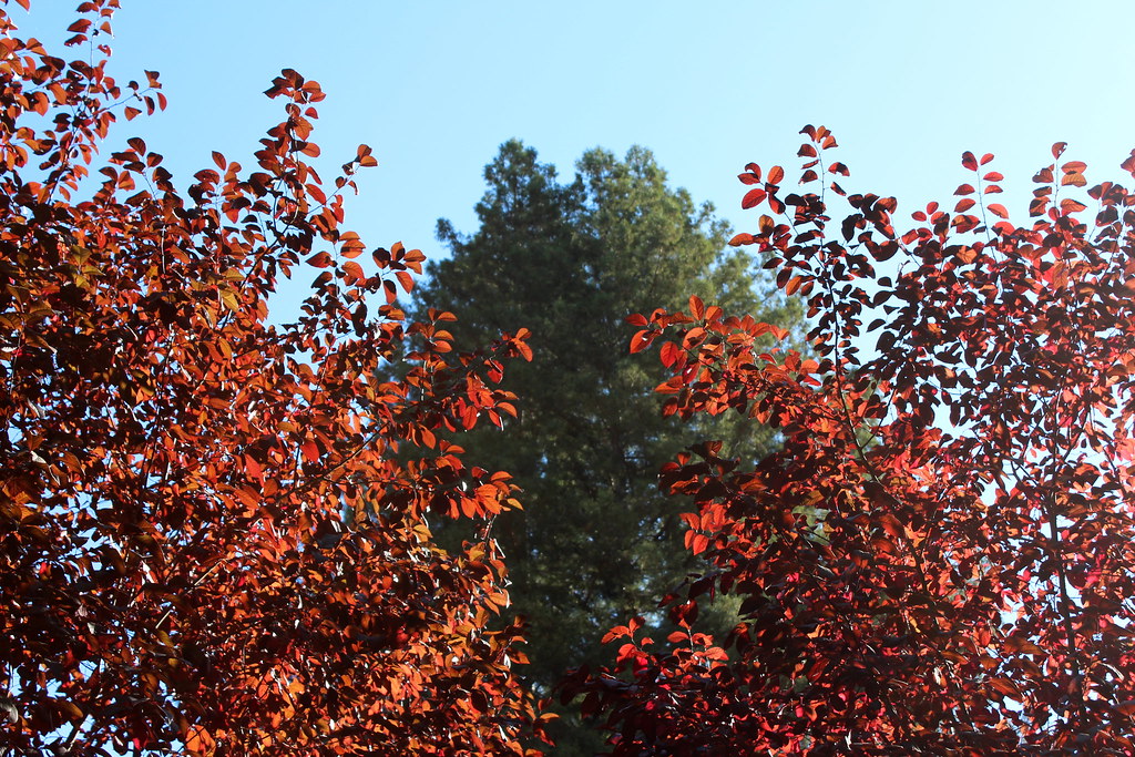 Camp Meeker TrailHiking · ~5 min drivePhoto: tsmattea1, CC BY 2.0 (via Flickr)
- Huckleberry TrailHiking · ~3 min drivePhoto: Stepheng3, Public domain (via Wikimedia Commons)
- Seven Springs TrailHiking · ~2 min drivePhoto: Alex, CC0 (via Wikimedia Commons)
 Little Rock TrailHiking · ~3 min drivePhoto: Stepheng3, Public domain (via Wikimedia Commons)
- Fern Tree and Badger Hill Vista TrailHiking · ~2 min drivePhoto: Alex, CC0 (via Wikimedia Commons)
- Full Monty TrailHiking · ~3 min drivePhoto: Stepheng3, Public domain (via Wikimedia Commons)
- East Side TrailHiking · ~2 min drivePhoto: Stepheng3, Public domain (via Wikimedia Commons)
 Loggers Lament TrailHiking · ~11 min drivePhoto: lamblukas from San Francisco, United States, CC BY 2.0 (via Wikimedia Commons)
Best time to visit Bypass Trail
Best months: February–November. Best months have typical highs of 55–85 °F, lows of 30 °F or warmer (32 °F where the station doesn't record snow), at most one snowy day and no more than 12 wet days.
Jan
56° / 42°
13 wet
Feb
58° / 43°
12 wet
Mar
61° / 44°
12 wet
Apr
66° / 45°
7 wet
May
70° / 48°
5 wet
Jun
76° / 51°
2 wet
Jul
78° / 52°
1 wet
Aug
78° / 53°
1 wet
Sep
77° / 53°
2 wet
Oct
73° / 52°
4 wet
Nov
62° / 46°
9 wet
Dec
55° / 41°
13 wet
Typical high / low (°F) and days with rain or snow, 1991–2020. Measured at Occidental, CA, 4.3 mi away at 865 ft. This station doesn't record snowfall. Source: NOAA NCEI U.S. Climate Normals 1991–2020.

Map and trail data © OpenStreetMap contributors
