Indian Cove Group Campground
Campground
Campground · 5.1 mi from the trail
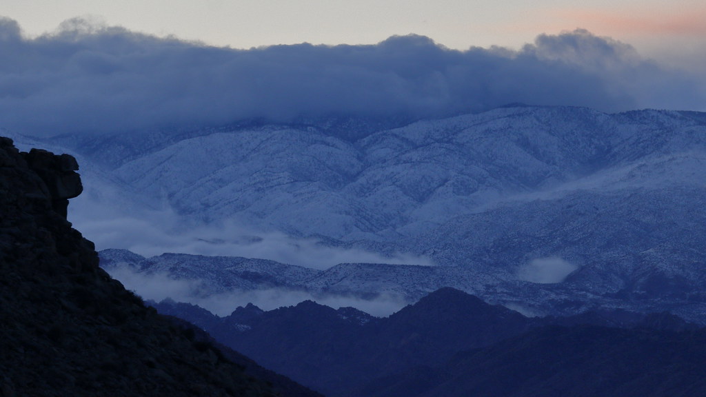 Photo: blachswan, CC BY 2.0 (via Flickr)
Alert in the area
The National Park Service lists 2 alerts for Joshua Tree National Park.
Inaccurate Third-Party Apps
Park alert covering Joshua Tree National Park · NPS · Joshua Tree National Park
Oasis of Mara Trail Partial Closure
Park alert covering Joshua Tree National Park · NPS · Joshua Tree National Park
As of · Source: NPS · Joshua Tree National Park. Agencies don't list every closure — check before you go.
Burro Loop Access Trail is a 1.26-mile out-and-back route in California with 274 feet of elevation gain. The trail reaches a maximum elevation of 3,669 feet.
Indian Cove Group Campground
Campground
 If it rainsJarek Tuszyński, CC BY 3.0 · Wikimedia Commons
Places © OpenStreetMap contributors, Places © Overture Maps Foundation · Photos: Jarek Tuszyński, CC BY 3.0 (commons)
More in Desert Hot Springs North Canyon TrailHiking · Next doorPhoto: Ryan Hallock, CC BY 2.0 (via Flickr)
 Panorama TrailHiking · ~3 min drivePhoto: Brück & Sohn Kunstverlag Meißen, CC0 (via Wikimedia Commons)West Access TrailHiking · Next doorPhoto: blachswan, CC BY 2.0 (via Flickr)
 Bigfoot TrailHiking · ~12 min drivePhoto: dret, CC BY-SA 2.0 (via Flickr)Burnt Hill TrailHiking · ~12 min drivePhoto: dret, CC BY-SA 2.0 (via Flickr)
 North Side TrailHiking · ~1 min drivePhoto: jonlclark, CC BY 2.0 (via Flickr)
Best months: October–May. Best months have typical highs of 55–85 °F, lows of 30 °F or warmer (32 °F where the station doesn't record snow), at most one snowy day and no more than 12 wet days.
Jan
58° / 38°
4 wet
Feb
61° / 39°
3 wet
Mar
67° / 40°
3 wet
Apr
73° / 46°
2 wet
May
82° / 52°
1 wet
Jun
91° / 59°
0 wet
Jul
96° / 66°
2 wet
Aug
96° / 68°
2 wet
Sep
89° / 60°
2 wet
Oct
80° / 50°
1 wet
Nov
66° / 41°
2 wet
Dec
58° / 34°
4 wet
Typical high / low (°F) and days with rain or snow, 1991–2020. Measured at Yucca Valley, CA, 8.2 mi away at 3,249 ft. This station doesn't record snowfall. Source: NOAA NCEI U.S. Climate Normals 1991–2020.
Map and trail data © OpenStreetMap contributors


