Loading…

Free — you'll pick up right here.
Watch this trail
Sign up to watch it — saving subscribes you to gate, closure and report changes.
California
14 ft
Gain
We won't guess. Here is exactly what we do and don't know.
What we do know
Inside Joshua Tree National Park
2 managing-area boundaries mapped — agency alerts for them feed this page automatically.
Boundary data
What's missing
No access route mapped
We don't yet know which road reaches this trailhead, so we can't tell you if it's gated.
Nobody's filed a report here yet — be the first.
Why you'll love it
Black Rock Backcountry Trailhead
AI-suggested draft · review before you go
No permit or access details on file for this trail — check with the local land manager before you go.
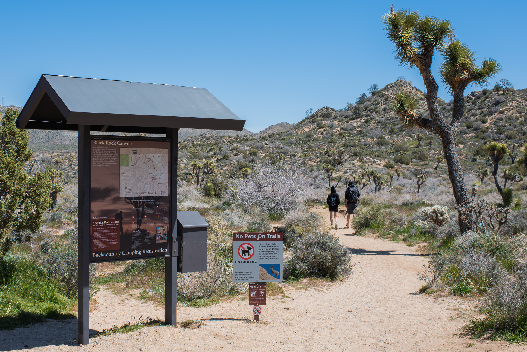
<p>The <a href="https://www.nps.gov/jotr/planyourvisit/black-rock-area-hiking.htm">Black Rock area</a> of Joshua Tree National Park is isolated and not connected by roads to other areas of the park. Visitors must leave the park through the North or West Entrance and re-enter the park south of Yucca Valley. Plan your driving time accordingly to make the most out of your visit.<br /> <br /> Parking is limited in the Black Rock area. Hikers should park at the Backcountry trailhead, the Black Rock Nature Center, or the horse parking area. See the <a href="https://www.nps.gov/jotr/planyourvisit/upload/BlackRock_Campground-test-2023-modified-for-Hiking-Map-v2-2.eps">campground map</a> to find parking locations.<br /> The Black Rock Canyon Backcountry Trailhead is the starting point for numerous hikes in the Black Rock area:</p> <ul> <li> <p>Panorama Loop (6.6 miles)</p> </li> <li> <p>Warren Peak (6.3 miles)</p> </li> <li> <p>Eureka Peak (11 miles)</p> </li> <li> <p>Burnt Hill (7.3 miles)</p> </li> <li> <p>Short Loop (4 miles)</p> </li> <li>California Riding and Hiking Trail (36.6 miles)</li> </ul> <p><br /> Find detailed information on each trail in the Hiking section on the app's homepage or <a href="https://www.nps.gov/jotr/planyourvisit/black-rock-area-hiking.htm">click here.</a></p>
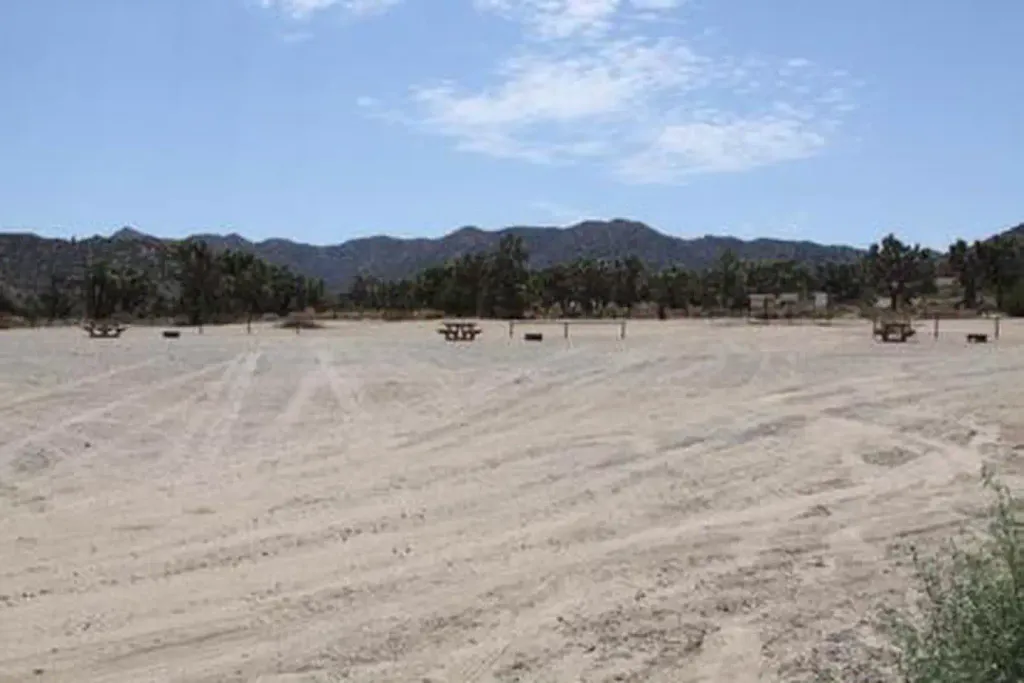
Short Loop Trailhead
~0 min drive
<p paraeid="{6bc60043-8ab0-44ec-84ee-e15a05a0bebc}{97}" paraid="802879122">This 4-mile loop hike passes through the hills, washes, ravines, and valleys east of the Black Rock Campground. It is a great hike for those camping in Black Rock or those looking to explore the quieter…
The Sink
~35 min drive
Easy 1-mile walk with 90 ft elevation gain.
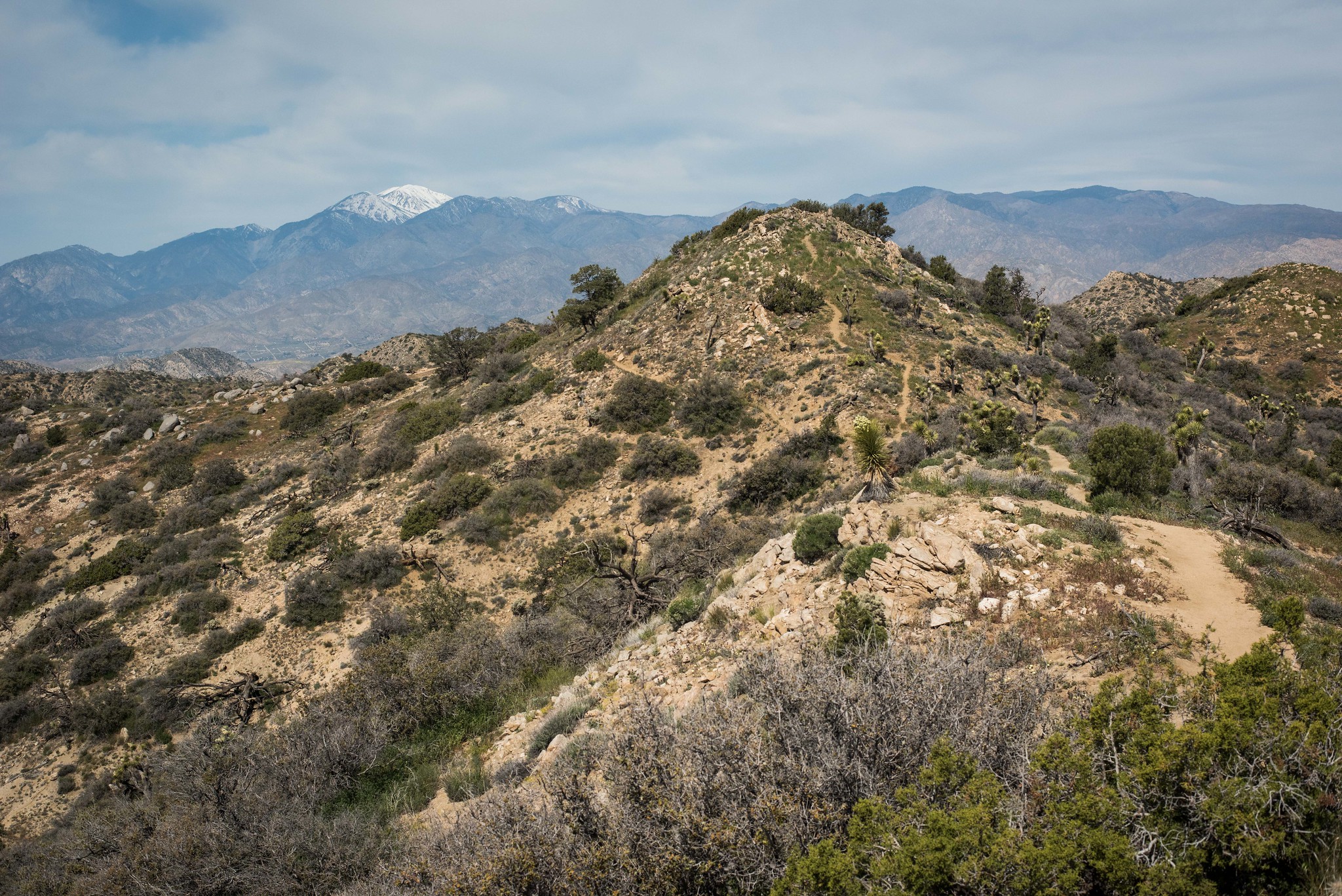
Warren Peak Trailhead
~0 min drive
<p paraeid="{ccb2d385-cca4-4fbb-b1f1-244a415b76fb}{64}" paraid="978697116">Hike through Black Rock Canyon to the summit of Warren Peak for stunning panoramic views of the surrounding mountains and valleys. This hike is 6.3 miles (round trip) with 1100 feet of elevation gain. F…
California Riding and Hiking Trailhead
~0 min drive
<p paraeid="{456e27b9-5dd2-4270-b960-10f7382c0e89}{122}" paraid="1057062349">The California Riding and Hiking Trail (CRHT) is 36.6 miles and spans from Black Rock Canyon to the North Entrance. It leads hikers through a variety of diverse landscapes in the Mojave Desert section…
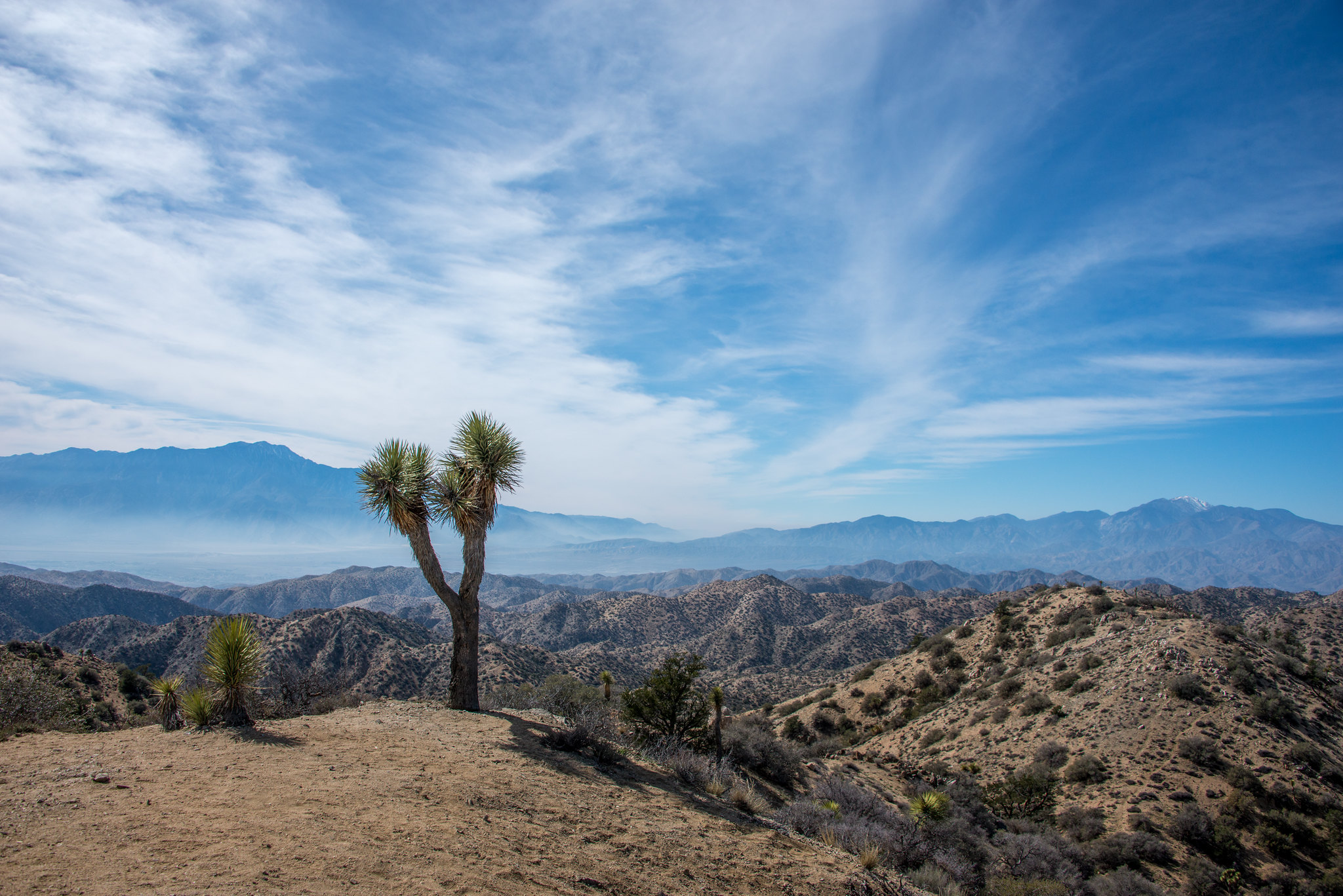
Eureka Peak Trailhead
~0 min drive
<p paraeid="{084ce833-2c3c-427d-9753-6e54e5b7f346}{211}" paraid="79855365">Eureka Peak Trail is an 11 mile (round trip) out-and-back hike with 1748 ft of elevation gain. Most of the hike is a slow gradual rise in a sandy wash surrounded with desert vegetation until the trail g…
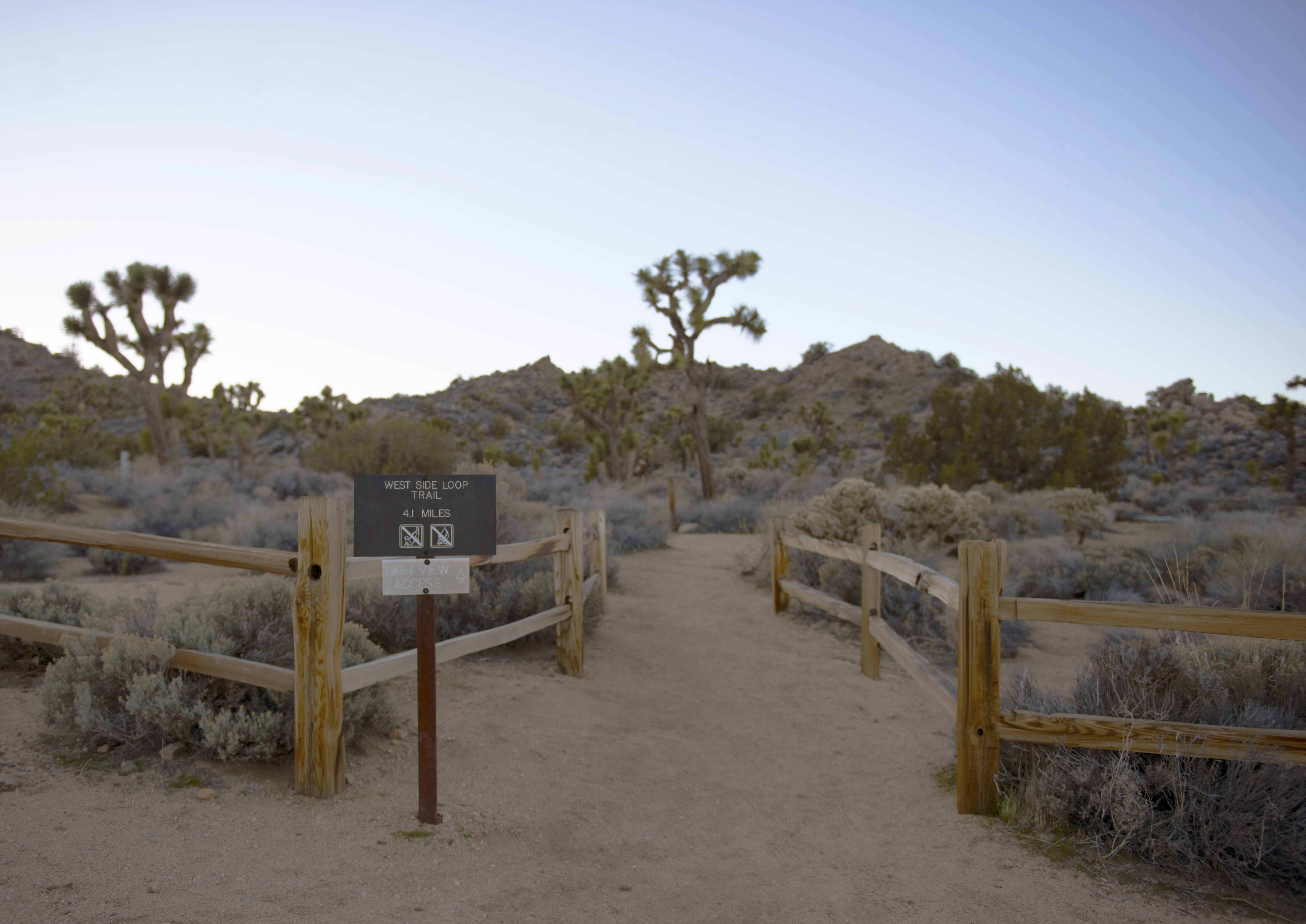
West Side Loop Trailhead
~0 min drive
Located on the west side of Black Rock Campground, this trailhead provides access to the West Side Loop, a moderate 4.1 mile loop with 785 feet elevation along a series of ridges and washes on a dirt and rock trail. This loop can also be combined with other trails for longer h…
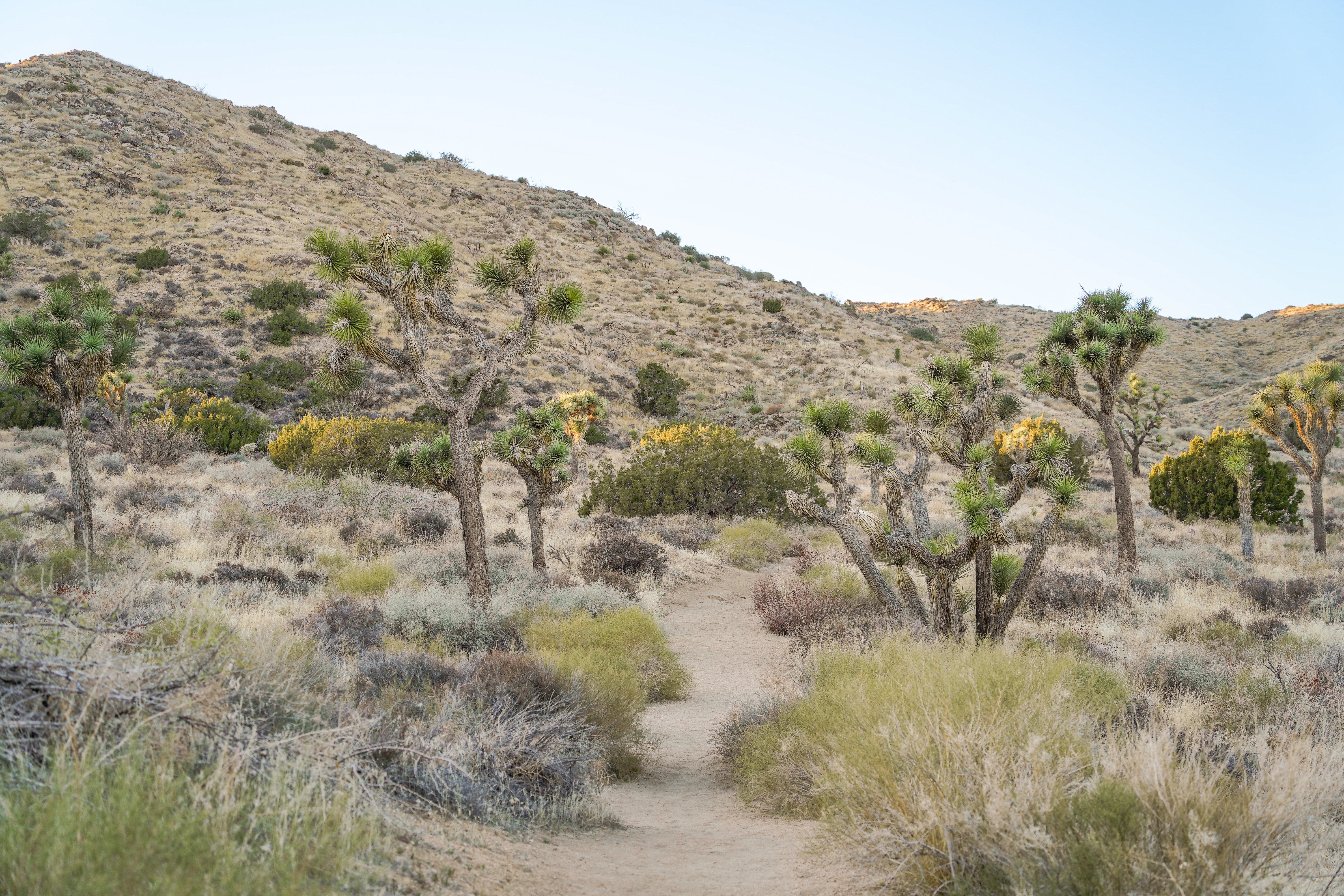
Joshua Trees
~1 min drive
<p>Joshua trees (Yucca brevifolia) dominate much of the Black Rock area with their bright green leaves and spindly forms. These plants absorb as much water as possible after summer rains or winter snows through shallow roots that extend in a wide subterranean circle from their…
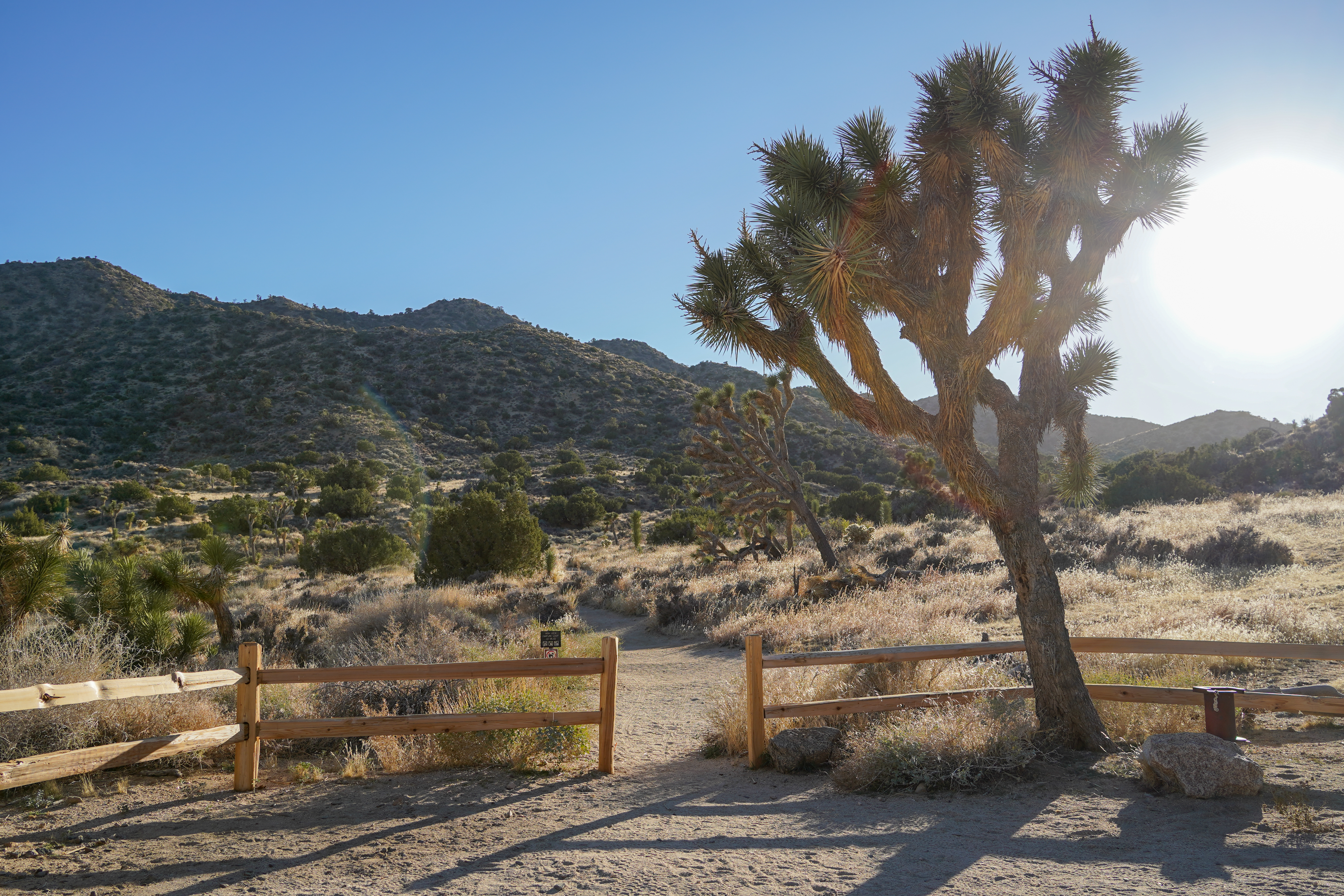
End of Trail
~1 min drive
The end of the Hi-View Nature Trail.
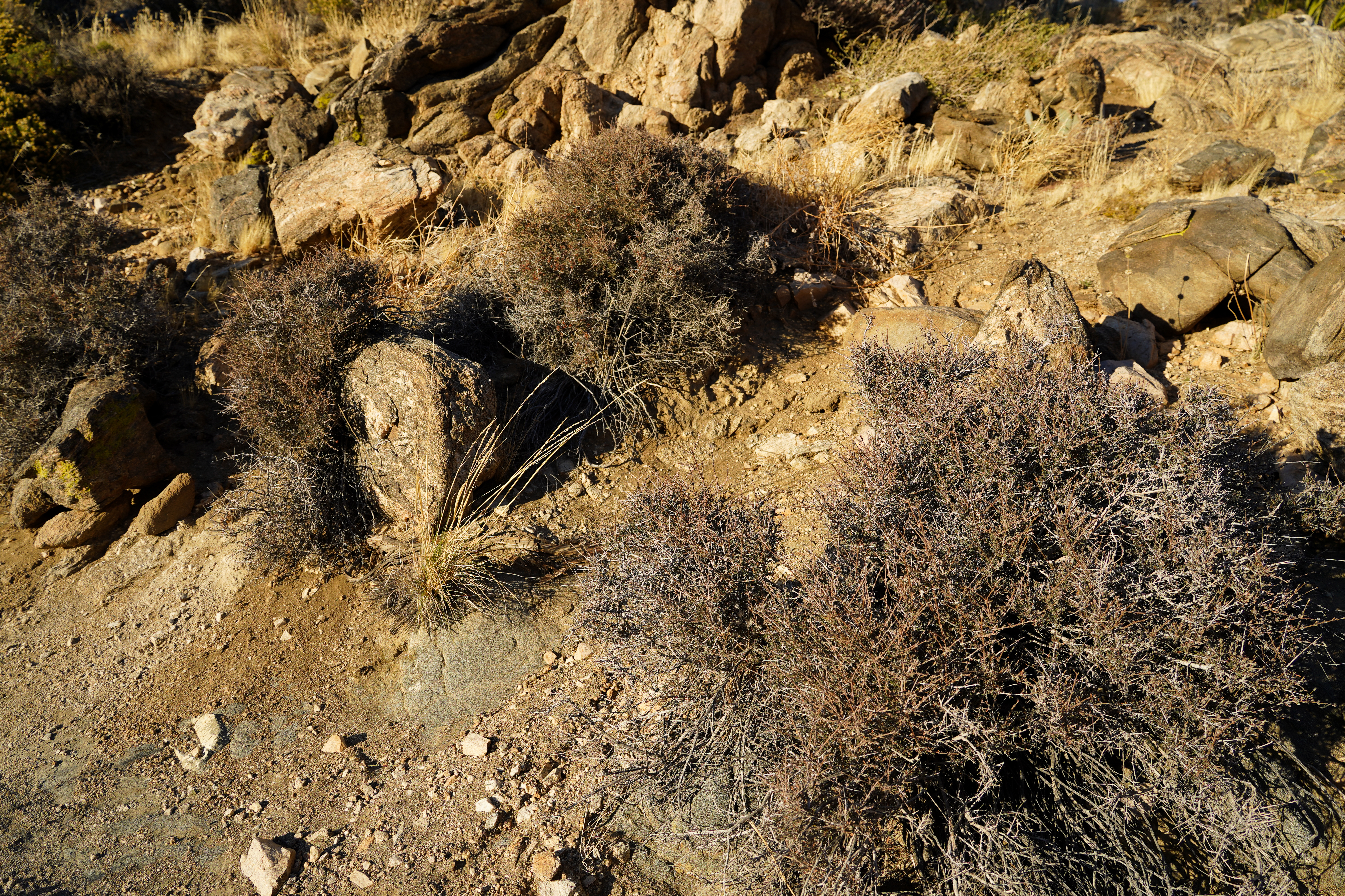
Tortoise Crossing
~1 min drive
<p>The trail seems steep for short reptilian legs, but desert tortoises (Gopherus agassizii) are impressively stalwart creatures that travel through the desert scrub to cross passes like this one in search of wildflowers to eat. In the spring, visitors sometimes spot tortoises…
Peak Experience
~1 min drive
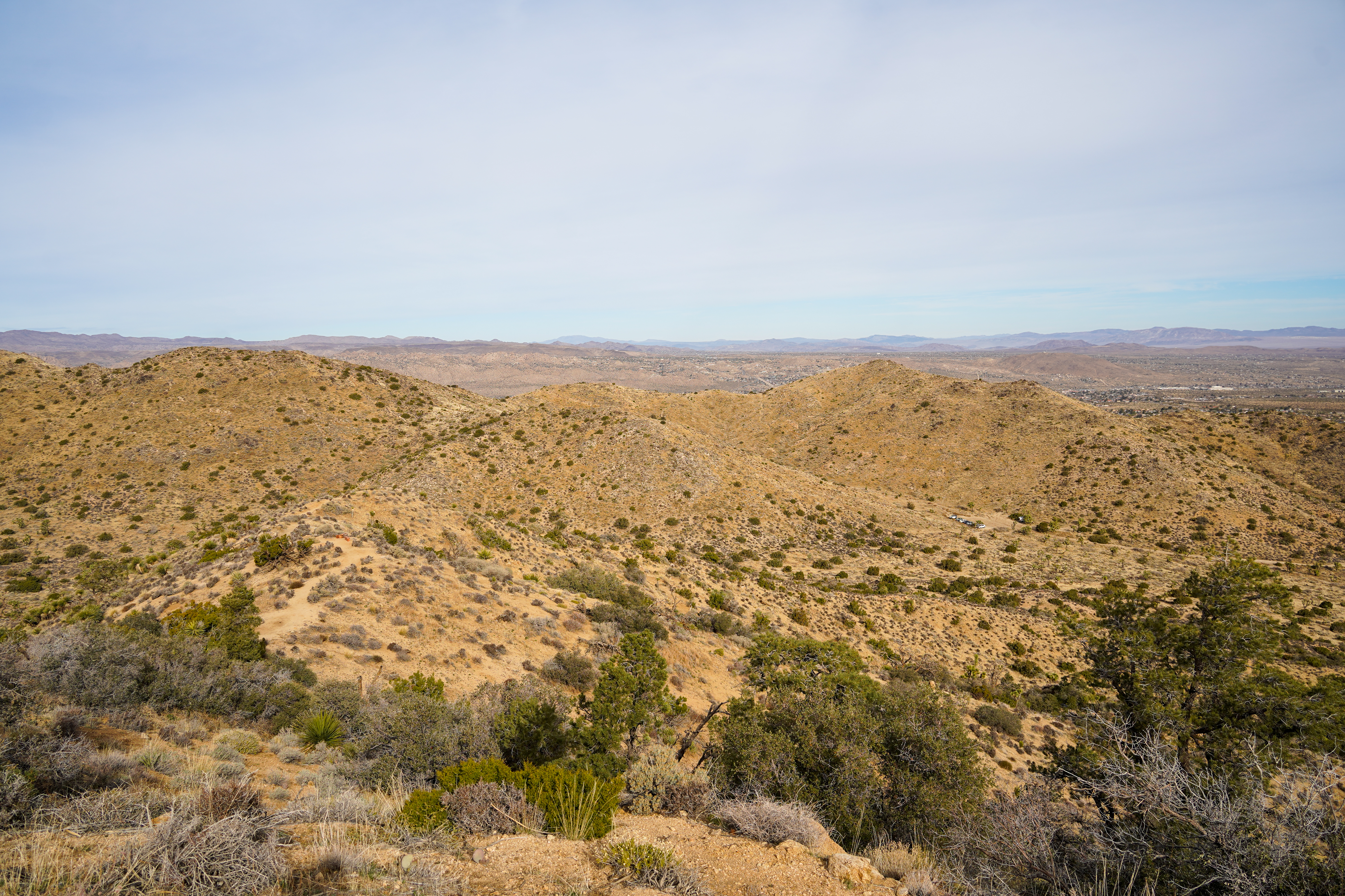
<p>The peak of the High View Nature Trail is 4,445 feet above sea level. To the northeast lies the community of Yucca Valley, and on clear days it is easy to see the distant expanse of the Marine Corps Air Ground Combat Center, over 40 miles away. The peak of Mount San Gorgoni…