Loading…

Free — you'll pick up right here.
Watch this trail
Sign up to watch it — saving subscribes you to gate, closure and report changes.
California
10.0 mi
Distance
3,504 ft
Gain
An agency closure order is in effect for this area; weather is good
2 factors · 2 sources
Newest 23 h ago · oldest 28 d
problem: Agency alerts
21 active alerts in Shasta-Trinity National Forest; most severe: Mud and Ash Creek Area and Road Closure
USFS28 d ago
clear: Weather
Clouds, high 76°F / low 46°F, 0% precip — 95/100 for hike
OpenWeather23 h ago
Been out here in the last few days? One report keeps this current for everyone.
Why you'll love it
Beegum Creek
AI-suggested draft · review before you go
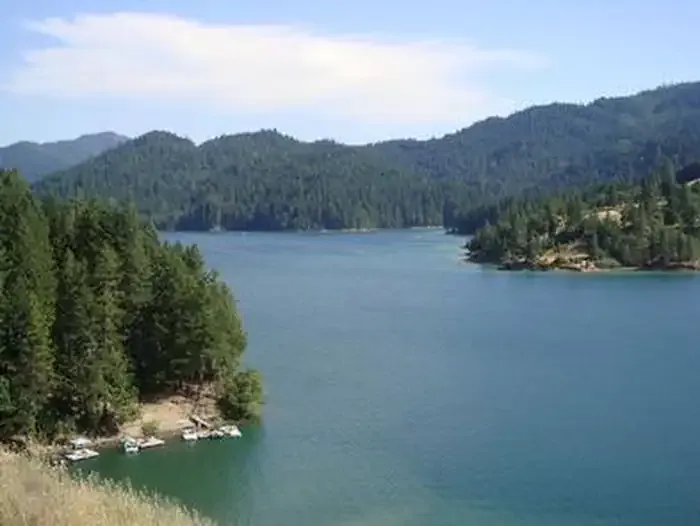
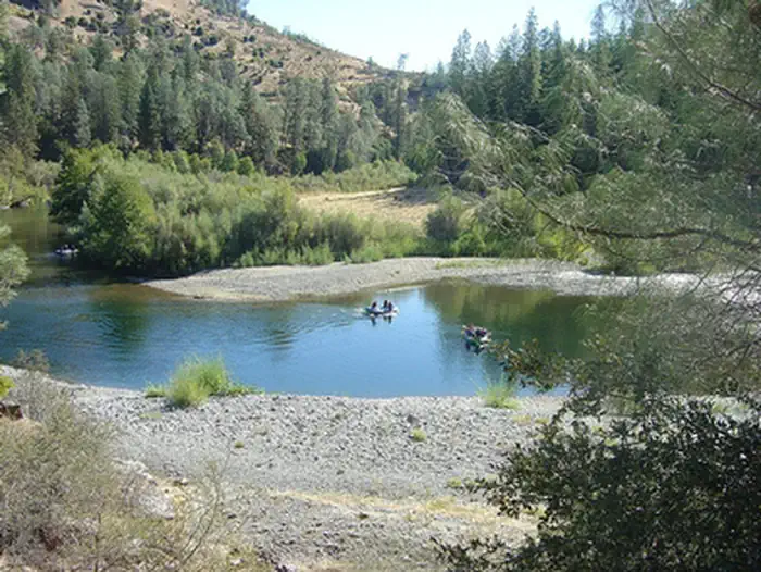
Beegum Creek offers a moderately challenging 10-mile journey through the northern California foothills with over 3,500 feet of elevation gain. This trail follows creek drainage and mixed terrain, providing hikers with a substantial cardiovascular workout and scenic views of the surrounding ridgelines. The creek itself provides water access and a cooling presence during warmer months.
Chanchelulla Divide
~12 min drive
Moderate 9.33-mile alpine divide traverse with panoramic Sierra views.
Black Rock Lake
~15 min drive
Moderate alpine lake hike with steady elevation gain and scenic views.
Dog Gulch
~15 min drive
Easy 2.5-mile gulch hike with minimal elevation gain.
Pettyjohn
~13 min drive
Steep 1.92-mile trail with 539 ft gain near Pettyjohn, California.
Black Rock Mtn
~16 min drive
Steep 3.2-mile climb with 1,355 ft gain to mountain summit views.
Potato Creek
~16 min drive
Short creek-side hike with 556 ft elevation gain near Potato Creek, California.
North Yolla Bolly
~16 min drive
Moderate 6-mile climb to high ridgeline in remote Yolla Bolly wilderness.
Scheill Gulch
~17 min drive
Moderate 4.21-mile gulch hike with 1,670 ft elevation gain.
Cold Fork Ridge
~17 min drive
Steep 2-mile ridge climb with 917 ft elevation gain.
Smoky Creek
~18 min drive
Moderate 10.57-mile creek-side hike with 1,111 ft elevation gain.